File:DEM Ottawa 30m.png
From CUOSGwiki
Jump to navigationJump to search
Size of this preview: 742 × 600 pixels. Other resolutions: 297 × 240 pixels | 1,005 × 812 pixels.
Original file (1,005 × 812 pixels, file size: 351 KB, MIME type: image/png)
Summary
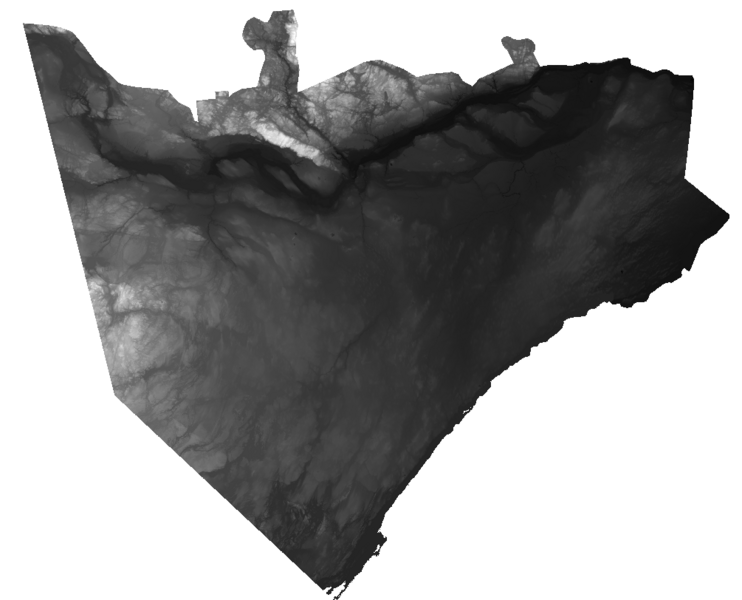
Screenshot of a 30 meter DEM of the Ottawa area sourced from the PDEM dataset, available on Ontario Geohub.
File history
Click on a date/time to view the file as it appeared at that time.
| Date/Time | Thumbnail | Dimensions | User | Comment | |
|---|---|---|---|---|---|
| current | 17:23, 30 September 2025 | | 1,005 × 812 (351 KB) | Vincentribberink (talk | contribs) | Screenshot of a 30 meter DEM of the Ottawa area sourced from the PDEM dataset, available on Ontario Geohub. |
You cannot overwrite this file.
File usage
The following page uses this file: