File:Figure2 Slope.png
From CUOSGwiki
Jump to navigationJump to search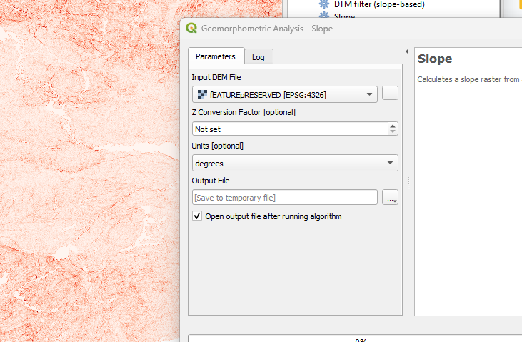
No higher resolution available.
Figure2_Slope.png (731 × 479 pixels, file size: 284 KB, MIME type: image/png)
This figure shows the slope calculated from the feature-preserved digital elevation model using the WhiteboxTools Slope algorithm. Slope values are expressed in degrees, with lighter tones indicating steeper terrain and darker tones representing gentler or flat areas.
File history
Click on a date/time to view the file as it appeared at that time.
| Date/Time | Thumbnail | Dimensions | User | Comment | |
|---|---|---|---|---|---|
| current | 12:44, 16 December 2025 | | 731 × 479 (284 KB) | Catherine (talk | contribs) |
You cannot overwrite this file.
File usage
The following page uses this file: