File:Map of city 1.png
From CUOSGwiki
Jump to navigationJump to search
Size of this preview: 800 × 590 pixels. Other resolutions: 320 × 236 pixels | 845 × 623 pixels.
Original file (845 × 623 pixels, file size: 65 KB, MIME type: image/png)
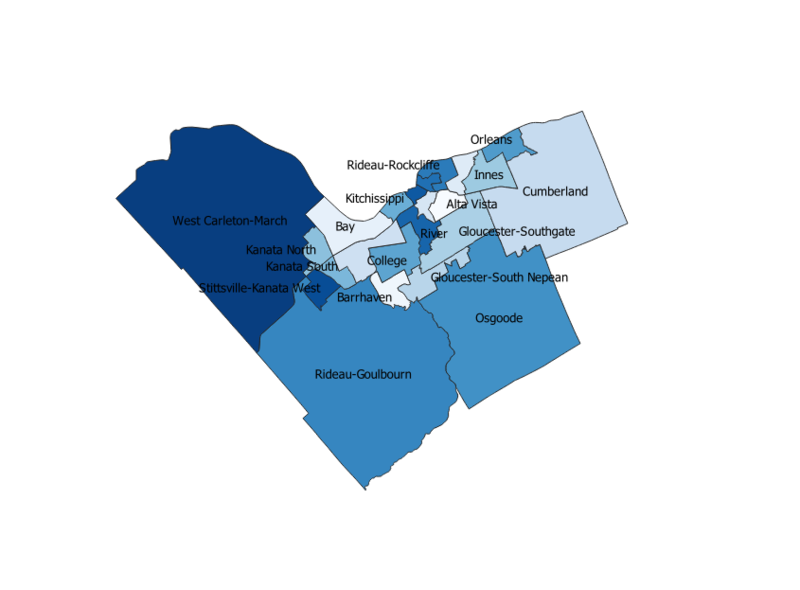
City of Ottawa map in QGIS.
File history
Click on a date/time to view the file as it appeared at that time.
| Date/Time | Thumbnail | Dimensions | User | Comment | |
|---|---|---|---|---|---|
| current | 14:31, 6 October 2020 | | 845 × 623 (65 KB) | AlexandraMullen (talk | contribs) |
You cannot overwrite this file.
File usage
The following page uses this file: