File:Originaldatamap.JPG
From CUOSGwiki
Jump to navigationJump to search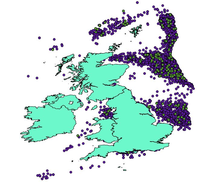
Size of this preview: 648 × 599 pixels. Other resolutions: 260 × 240 pixels | 652 × 603 pixels.
Original file (652 × 603 pixels, file size: 79 KB, MIME type: image/jpeg)
Coastline, wells and signifcant wells data imported into Quantuam GIS.
File history
Click on a date/time to view the file as it appeared at that time.
| Date/Time | Thumbnail | Dimensions | User | Comment | |
|---|---|---|---|---|---|
| current | 17:21, 10 December 2012 | | 652 × 603 (79 KB) | Mattjudd (talk | contribs) | Coastline, wells and signifcant wells data imported into Quantuam GIS. |
You cannot overwrite this file.
File usage
There are no pages that use this file.