File:Topographic map of mount eden.png
From CUOSGwiki
Jump to navigationJump to search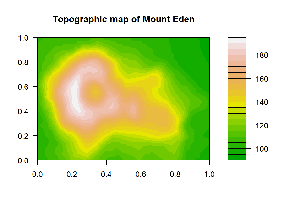
Size of this preview: 800 × 585 pixels. Other resolutions: 320 × 234 pixels | 1,188 × 868 pixels.
Original file (1,188 × 868 pixels, file size: 25 KB, MIME type: image/png)
Result of running the tutorial's filled.contour command on R 4.5.1 with no changes. Titled "Topographic map of Mount Eden," with a color scale from green at low elevations to white at the peak.
File history
Click on a date/time to view the file as it appeared at that time.
| Date/Time | Thumbnail | Dimensions | User | Comment | |
|---|---|---|---|---|---|
| current | 07:08, 9 October 2026 | | 1,188 × 868 (25 KB) | IbitolaTorukuru (talk | contribs) |
You cannot overwrite this file.
File usage
There are no pages that use this file.


