File list
From CUOSGwiki
Jump to navigationJump to searchThis special page shows all uploaded files.
| Date | Name | Thumbnail | Size | User | Description | Versions |
|---|---|---|---|---|---|---|
| 14:58, 20 October 2017 | Add map feature button.png (file) |  |
6 KB | Elenilatsis | 1 | |
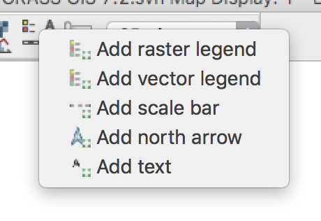
| 14:59, 20 October 2017 | Add map features.png (file) |  |
47 KB | Elenilatsis | 1 | |
| 15:05, 20 October 2017 | Legend edit.png (file) |  |
100 KB | Elenilatsis | 1 | |
| 15:08, 20 October 2017 | Legend edit 2.png (file) |  |
116 KB | Elenilatsis | 1 | |
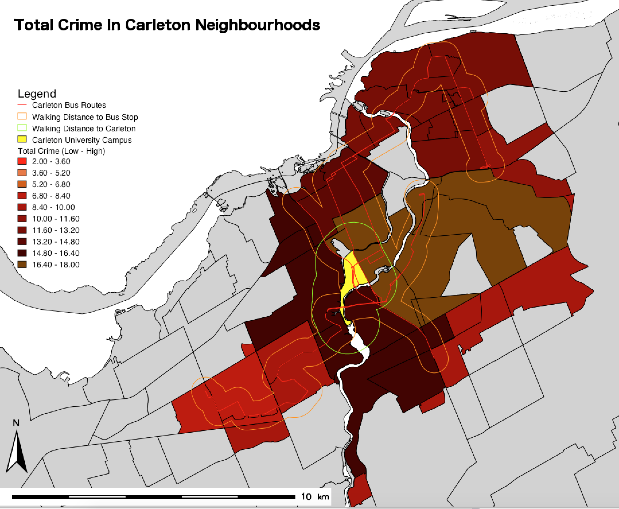
| 15:12, 20 October 2017 | Final crime map.png (file) |  |
536 KB | Elenilatsis | 1 | |
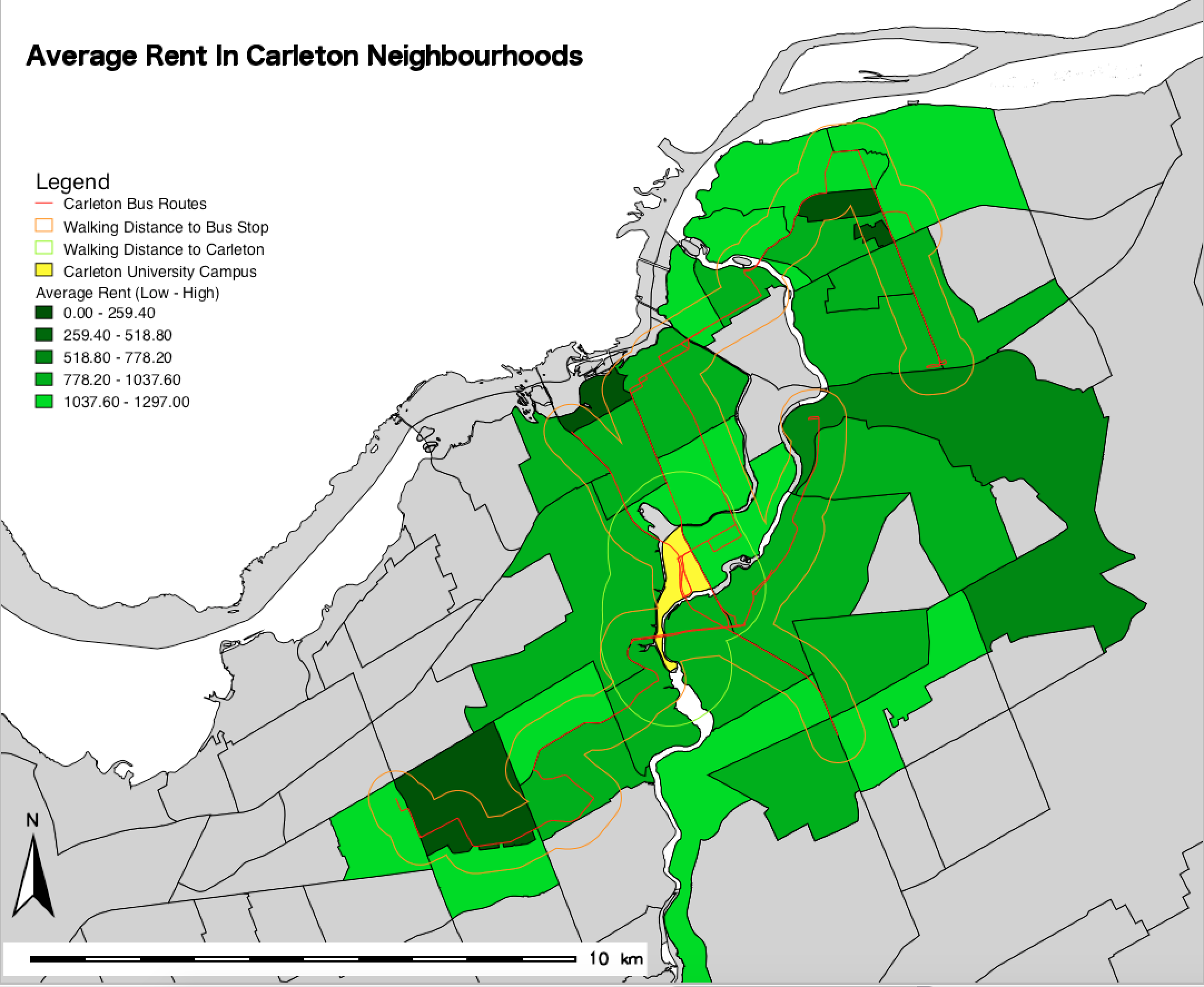
| 15:13, 20 October 2017 | Final rent map.png (file) |  |
512 KB | Elenilatsis | 1 | |
| 16:17, 20 October 2017 | QgisLOGO.PNG (file) |  |
24 KB | Samjardine | 2 | |
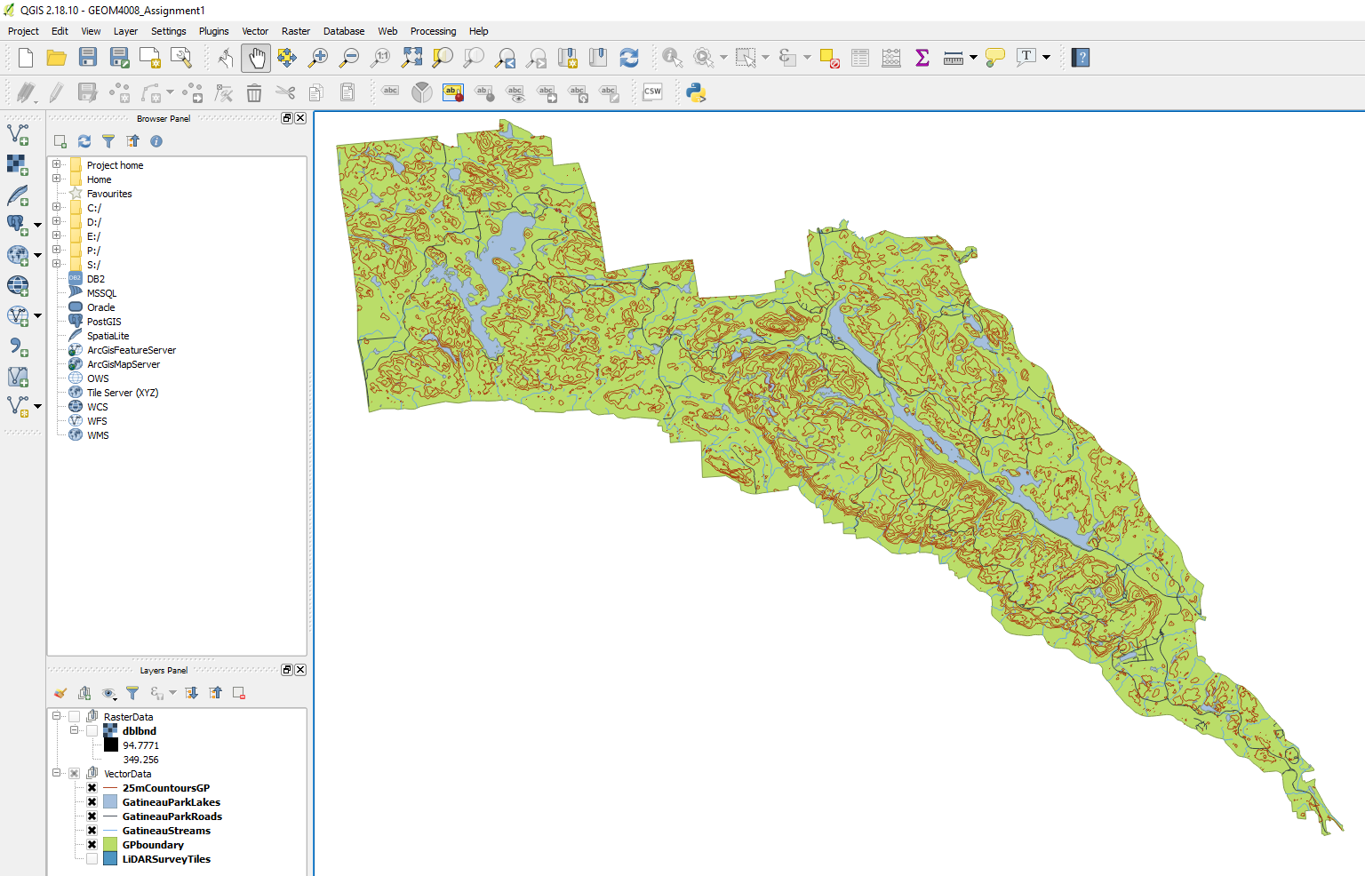
| 16:38, 20 October 2017 | GatineauArc.PNG (file) |  |
125 KB | Kaylacharette | 1 | |
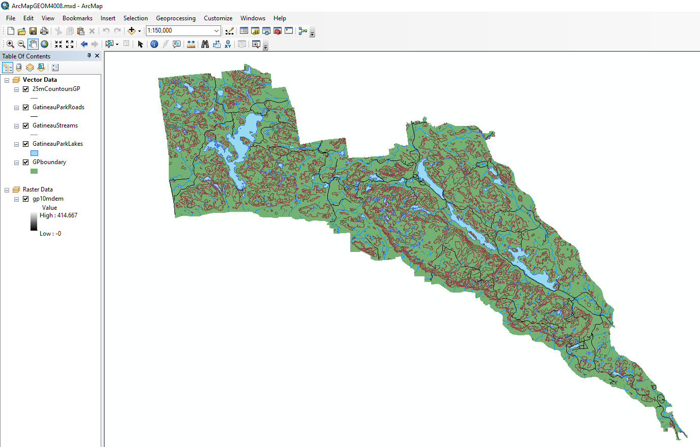
| 16:39, 20 October 2017 | GatineauQGIS.PNG (file) |  |
477 KB | Kaylacharette | 1 | |
| 17:20, 20 October 2017 | ArcSymbology.PNG (file) |  |
18 KB | Kaylacharette | 1 | |
| 17:20, 20 October 2017 | QGISsymbology.PNG (file) |  |
46 KB | Kaylacharette | 1 | |
| 17:25, 20 October 2017 | FileDownlooad.png (file) |  |
193 KB | Hannahanderson | 1 | |
| 17:27, 20 October 2017 | Data Download.png (file) |  |
164 KB | Hannahanderson | 1 | |
| 17:27, 20 October 2017 | Datasets1.png (file) |  |
19 KB | Hannahanderson | 1 | |
| 17:28, 20 October 2017 | Datasets2Mapping.png (file) |  |
14 KB | Hannahanderson | 1 | |
| 17:30, 20 October 2017 | Cliptool.JPG (file) |  |
56 KB | ColtonMale | clip tool in qgis | 1 |
| 17:31, 20 October 2017 | Earth.gif (file) |  |
695 KB | Kaylacharette | 1 | |
| 17:58, 20 October 2017 | DataImport.png (file) |  |
128 KB | Hannahanderson | 1 | |
| 17:59, 20 October 2017 | SecondStepDataImport.png (file) |  |
47 KB | Hannahanderson | 1 | |
| 18:33, 20 October 2017 | Datamap.png (file) |  |
359 KB | Hannahanderson | 1 | |
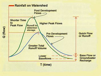
| 19:00, 20 October 2017 | Graph3.jpg (file) |  |
18 KB | Abenk | 1 | |
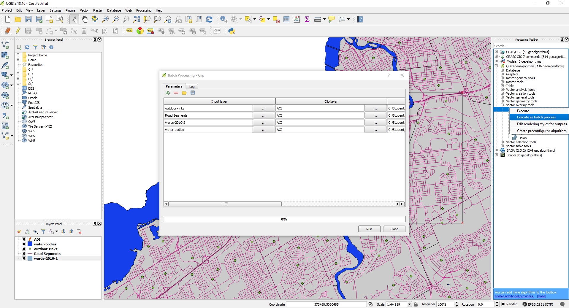
| 19:41, 20 October 2017 | BatchClip.jpg (file) |  |
568 KB | Samjardine | 1 | |
| 20:01, 20 October 2017 | SymbolizedClipped.jpg (file) |  |
490 KB | Samjardine | 1 | |
| 20:30, 20 October 2017 | FTTF.jpg (file) |  |
39 KB | Samjardine | 1 | |
| 20:39, 20 October 2017 | Inputs.jpg (file) |  |
25 KB | Samjardine | 1 | |
| 20:39, 20 October 2017 | ShortestRoute1.jpg (file) |  |
605 KB | Samjardine | 1 | |
| 21:50, 20 October 2017 | Regionclose.jpg (file) |  |
56 KB | ColtonMale | 1 | |
| 21:57, 20 October 2017 | FieldCalculatorButton.jpg (file) |  |
186 KB | Samjardine | 1 | |
| 21:57, 20 October 2017 | FieldCalc.jpg (file) |  |
93 KB | Samjardine | 1 | |
| 22:20, 20 October 2017 | Styles.png (file) |  |
512 KB | Hannahanderson | 1 | |
| 22:20, 20 October 2017 | Colours.png (file) |  |
87 KB | Hannahanderson | 1 | |
| 22:20, 20 October 2017 | DataThemes.png (file) |  |
105 KB | Hannahanderson | 1 | |
| 22:21, 20 October 2017 | ChangeColours.png (file) |  |
131 KB | Hannahanderson | 1 | |
| 22:27, 20 October 2017 | TIME.jpg (file) |  |
366 KB | Samjardine | 1 | |
| 22:27, 20 October 2017 | LENGTH.jpg (file) |  |
372 KB | Samjardine | 1 | |
| 22:42, 20 October 2017 | Lines2.jpg (file) |  |
67 KB | ColtonMale | 1 | |
| 22:43, 20 October 2017 | Lines1.jpg (file) |  |
106 KB | ColtonMale | 1 | |
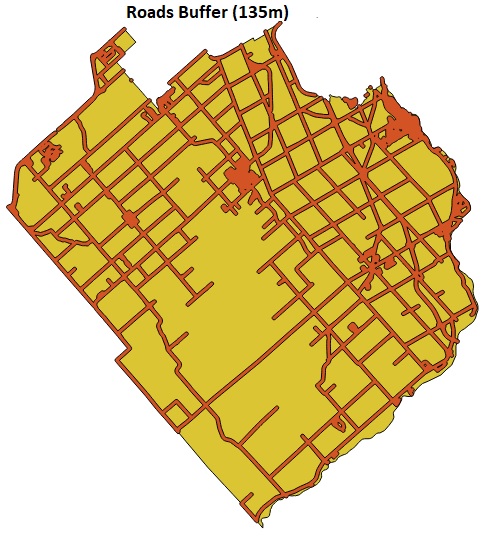
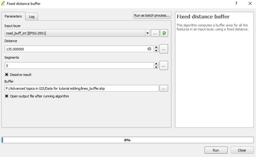
| 22:54, 20 October 2017 | Buffertool.jpg (file) |  |
48 KB | ColtonMale | 1 | |
| 22:56, 20 October 2017 | TrailMap.png (file) |  |
97 KB | Hannahanderson | 1 | |
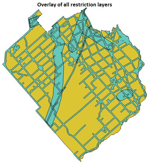
| 23:10, 20 October 2017 | Overlay.jpg (file) |  |
115 KB | ColtonMale | 1 | |
| 23:12, 20 October 2017 | Ward21union.jpg (file) |  |
50 KB | ColtonMale | 1 | |
| 23:34, 20 October 2017 | Dissolve.jpg (file) |  |
102 KB | ColtonMale | 1 | |
| 23:37, 20 October 2017 | EditAttributes.png (file) |  |
109 KB | Hannahanderson | 1 | |
| 23:37, 20 October 2017 | BeforeAtt.png (file) |  |
33 KB | Hannahanderson | 1 | |
| 23:40, 20 October 2017 | EditAttributes2.png (file) |  |
109 KB | Hannahanderson | 1 | |
| 23:40, 20 October 2017 | AfterAtt.png (file) |  |
33 KB | Hannahanderson | 1 | |
| 23:43, 20 October 2017 | QGIS2.18.13.png (file) |  |
296 KB | Calvin Gale | 2 | |
| 23:51, 20 October 2017 | ExampleData.png (file) |  |
7 KB | Calvin Gale | 1 | |
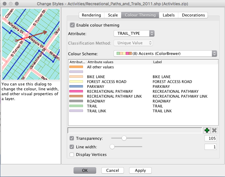
| 23:53, 20 October 2017 | Symbology1.png (file) |  |
92 KB | Hannahanderson | 1 | |
| 23:54, 20 October 2017 | Symbology2.png (file) |  |
140 KB | Hannahanderson | 1 |