File list
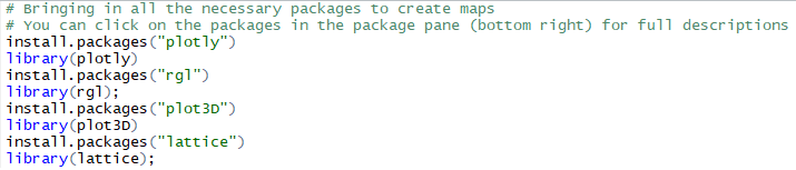
From CUOSGwiki
Jump to navigationJump to searchThis special page shows all uploaded files.
| Date | Name | Thumbnail | Size | User | Description | Versions |
|---|---|---|---|---|---|---|
| 00:46, 22 October 2017 | Properties1.PNG (file) |  |
20 KB | Lukaszquinn | 1 | |
| 00:49, 22 October 2017 | Properties2.PNG (file) |  |
67 KB | Lukaszquinn | 1 | |
| 00:55, 22 October 2017 | Attribute Table Properties.PNG (file) |  |
56 KB | Lukaszquinn | 1 | |
| 01:08, 22 October 2017 | LayerProperties.PNG (file) |  |
46 KB | Lukaszquinn | 1 | |
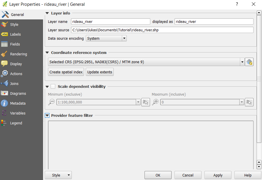
| 01:30, 22 October 2017 | LayerPropertiesGeneral.PNG (file) |  |
46 KB | Lukaszquinn | 1 | |
| 01:32, 22 October 2017 | RasterLayerIcon.PNG (file) |  |
504 bytes | Lukaszquinn | 1 | |
| 01:51, 22 October 2017 | Pluggins.png (file) |  |
18 KB | Lukaszquinn | 1 | |
| 01:58, 22 October 2017 | PluginsInstalled.png (file) |  |
44 KB | Lukaszquinn | 1 | |
| 02:00, 22 October 2017 | Plugins1.png (file) |  |
33 KB | Lukaszquinn | 1 | |
| 02:18, 22 October 2017 | Georeferencer.png (file) |  |
17 KB | Lukaszquinn | 1 | |
| 02:24, 22 October 2017 | GeoreferencerMenu.PNG (file) |  |
23 KB | Lukaszquinn | 1 | |
| 02:25, 22 October 2017 | GeoreferencerToolbar.PNG (file) | 13 KB | Lukaszquinn | 1 | ||
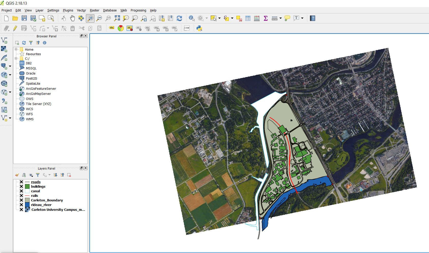
| 03:03, 22 October 2017 | GeorefCarleton.PNG (file) |  |
840 KB | Lukaszquinn | 1 | |
| 03:05, 22 October 2017 | Adding a point.PNG (file) |  |
13 KB | Lukaszquinn | 1 | |
| 03:08, 22 October 2017 | AddIcon.PNG (file) |  |
1 KB | Lukaszquinn | 1 | |
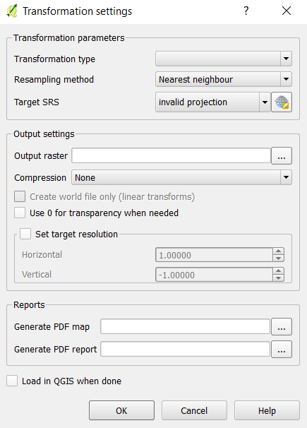
| 03:14, 22 October 2017 | Transformation Settings.PNG (file) | 23 KB | Lukaszquinn | 1 | ||
| 03:20, 22 October 2017 | Pdficon.PNG (file) |  |
75 KB | Lukaszquinn | 1 | |
| 03:43, 22 October 2017 | FinalImage.PNG (file) |  |
736 KB | Lukaszquinn | 1 | |
| 03:44, 22 October 2017 | FinalImage1.PNG (file) |  |
1.4 MB | Lukaszquinn | 1 | |
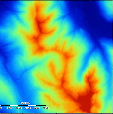
| 00:40, 23 October 2017 | OregonDEM.PNG (file) |  |
299 KB | Awoestreicher | Digital Elevation Map of an Area of Northern Oregon, SAGA GIS | 1 |
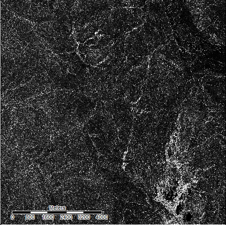
| 00:41, 23 October 2017 | OREGONTRugged.PNG (file) |  |
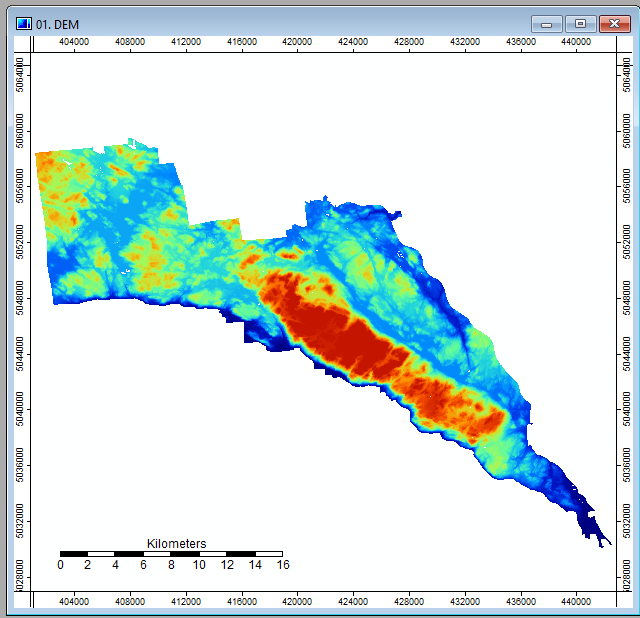
285 KB | Awoestreicher | Output of the Vector Terrain Ruggedness tool in SAGA GIS, used on a DEM of an area in northern oregon | 1 |
| 00:42, 23 October 2017 | TerrainruggednessSettings1.PNG (file) |  |
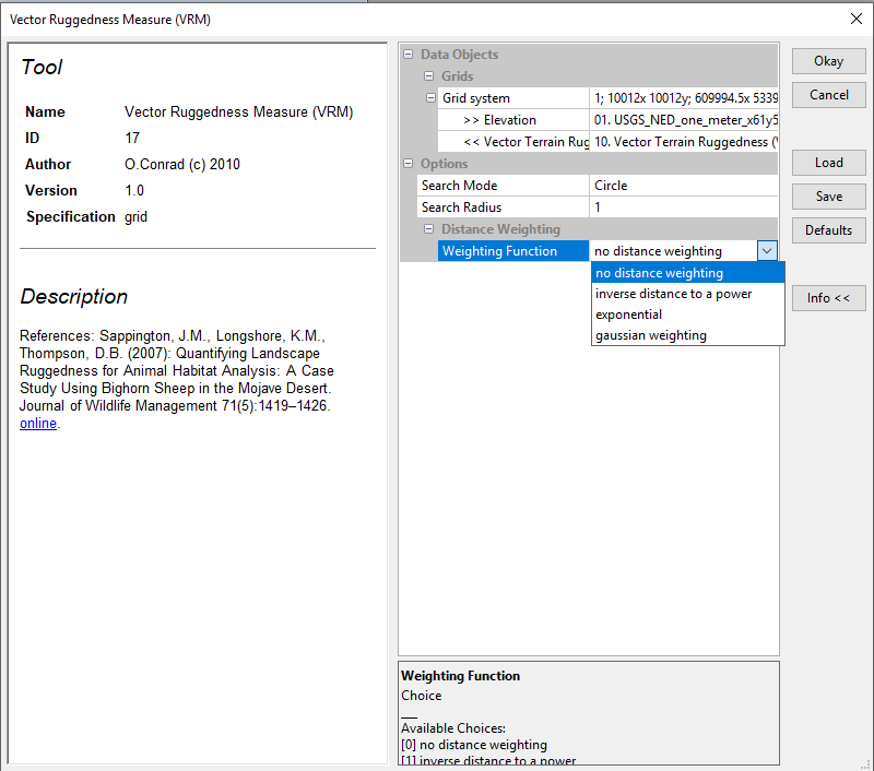
34 KB | Awoestreicher | Process Settings for the Vector Terrain Ruggedness settings, SAGA GIS | 1 |
| 00:56, 23 October 2017 | Terrain ruggedness selection.PNG (file) |  |
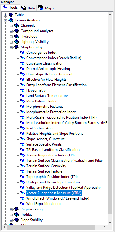
35 KB | Awoestreicher | Screenshot of Vector Ruggedness Measure tool location in SAGA GIS | 1 |
| 02:59, 23 October 2017 | Gatineaufuzzy.PNG (file) |  |
66 KB | Awoestreicher | fuzzy logic landform element interpretation of gatineau park via SAGA | 1 |
| 02:59, 23 October 2017 | Gatineau.PNG (file) |  |
139 KB | Awoestreicher | Gatineau Park DEM via SAGA | 1 |
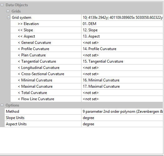
| 03:00, 23 October 2017 | Gatineau options.PNG (file) |  |
16 KB | Awoestreicher | Options for the slope and curvature surfaces needed for fuzzy landform element classification, SAGA | 1 |
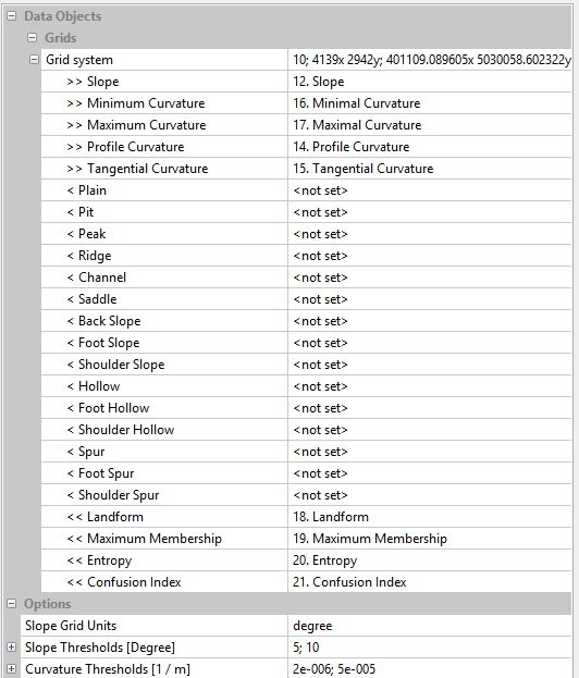
| 03:01, 23 October 2017 | Gatineaufuzzyoptions.PNG (file) |  |
22 KB | Awoestreicher | Options for for fuzzy landform element classification, SAGA | 1 |
| 03:18, 23 October 2017 | Gatineauselections.PNG (file) |  |
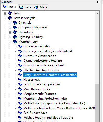
21 KB | Awoestreicher | Location of the fuzzy landform elements classification tool in SAGA GIS | 1 |
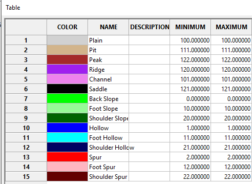
| 03:26, 23 October 2017 | Fuzzy legend.PNG (file) |  |
14 KB | Awoestreicher | 1 | |
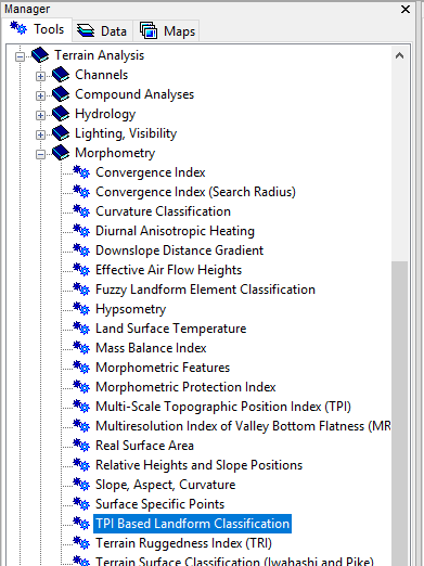
| 07:38, 23 October 2017 | TPIlandselection.PNG (file) |  |
25 KB | Awoestreicher | Location in tools menu of TPI Based Landform Classification tool in SAGA | 1 |
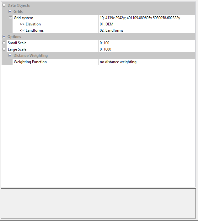
| 07:43, 23 October 2017 | Tpilandformsoptions.PNG (file) |  |
11 KB | Awoestreicher | TPI Based landforms classification options menu, SAGA | 1 |
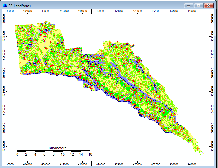
| 07:44, 23 October 2017 | Tpilandforms.PNG (file) |  |
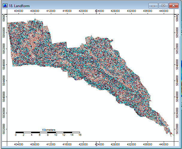
68 KB | Awoestreicher | TPI Based landforms classification Output, Gatineau park, SAGA GIS | 1 |
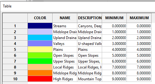
| 07:47, 23 October 2017 | Tpilegend.PNG (file) |  |
12 KB | Awoestreicher | TPI Based landforms classification Output legend, Gatineau park, SAGA GIS | 1 |
| 19:28, 17 December 2017 | DOTS.png (file) |  |
4 KB | RafSey | 1 | |
| 19:28, 17 December 2017 | DRAPPED.png (file) |  |
8 KB | RafSey | 1 | |
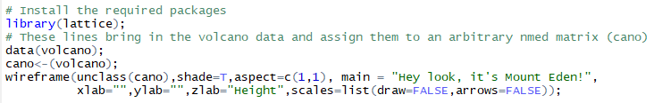
| 19:57, 17 December 2017 | LatticeCode.png (file) | 9 KB | RafSey | 1 | ||
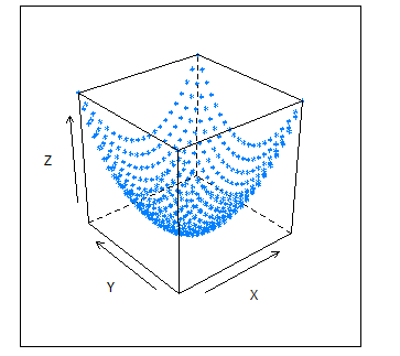
| 20:22, 17 December 2017 | Lattice3D.png (file) |  |
23 KB | RafSey | 1 | |
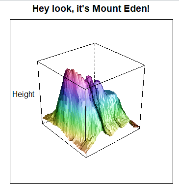
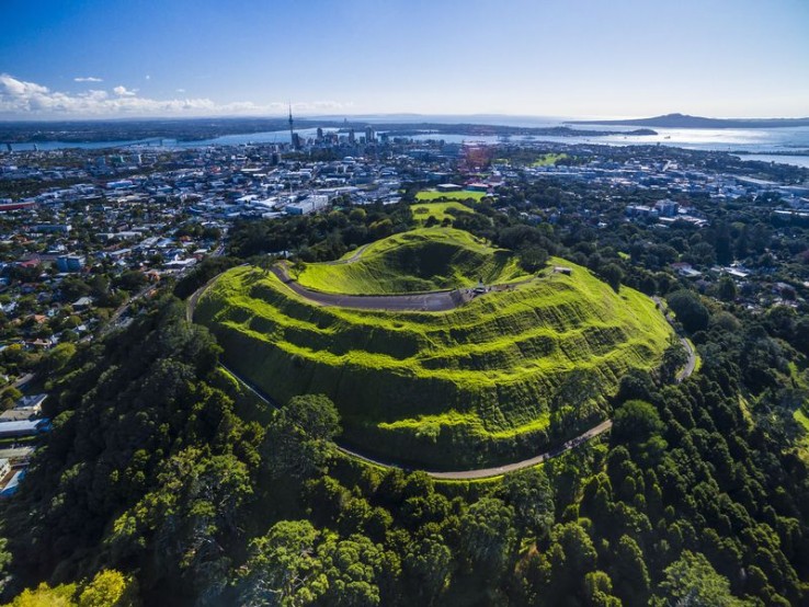
| 16:49, 18 December 2017 | MountEden.jpg (file) |  |
140 KB | RafSey | 1 | |
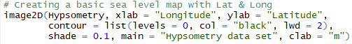
| 17:40, 18 December 2017 | CreatingSeaLvlMap.png (file) | 6 KB | RafSey | 2 | ||
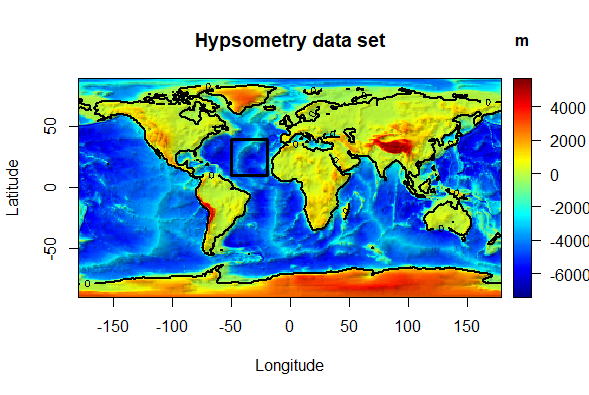
| 17:40, 18 December 2017 | HypsometricMap2D.png (file) |  |
136 KB | RafSey | 1 | |
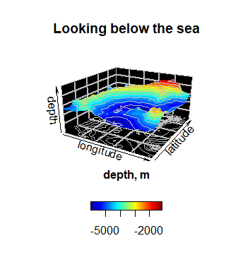
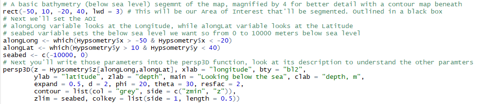
| 17:57, 18 December 2017 | LookingBelowtheSea.png (file) |  |
9 KB | RafSey | 1 | |
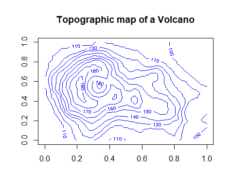
| 18:56, 18 December 2017 | BasicContours.png (file) |  |
7 KB | RafSey | 1 | |
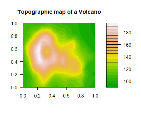
| 18:57, 18 December 2017 | ColoredContours.png (file) |  |
8 KB | RafSey | 1 | |
| 17:07, 19 December 2017 | Installing.png (file) | 9 KB | RafSey | 2 | ||
| 17:13, 19 December 2017 | 3DPlotting.png (file) |  |
16 KB | RafSey | 1 | |
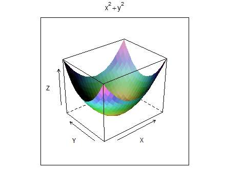
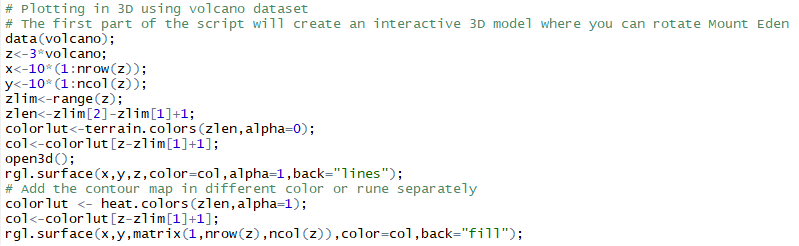
| 17:25, 19 December 2017 | Going3D.png (file) | 24 KB | RafSey | 6 | ||
| 17:25, 19 December 2017 | Seabed3D.png (file) | 24 KB | RafSey | 1 | ||
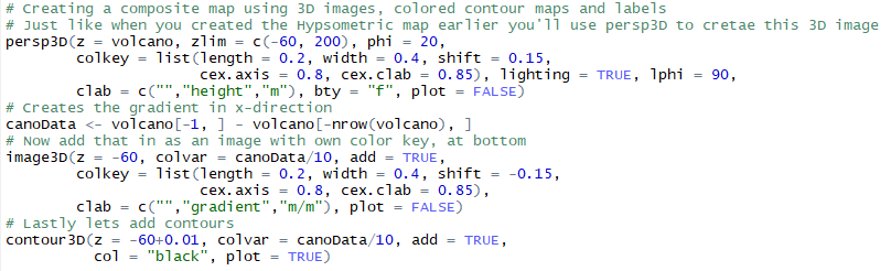
| 18:13, 19 December 2017 | CompositesCode.png (file) |  |
22 KB | RafSey | 1 | |
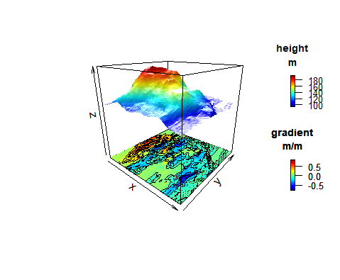
| 18:16, 19 December 2017 | CompositesExample.png (file) |  |
28 KB | RafSey | 1 | |
| 18:33, 19 December 2017 | Aoi complete Project Polygon2.tif (file) | 622 KB | ColtonMale | land cover type raster file for Ottawa. | 1 |