File list
From CUOSGwiki
Jump to navigationJump to searchThis special page shows all uploaded files.
| Date | Name | Thumbnail | Size | User | Description | Versions |
|---|---|---|---|---|---|---|
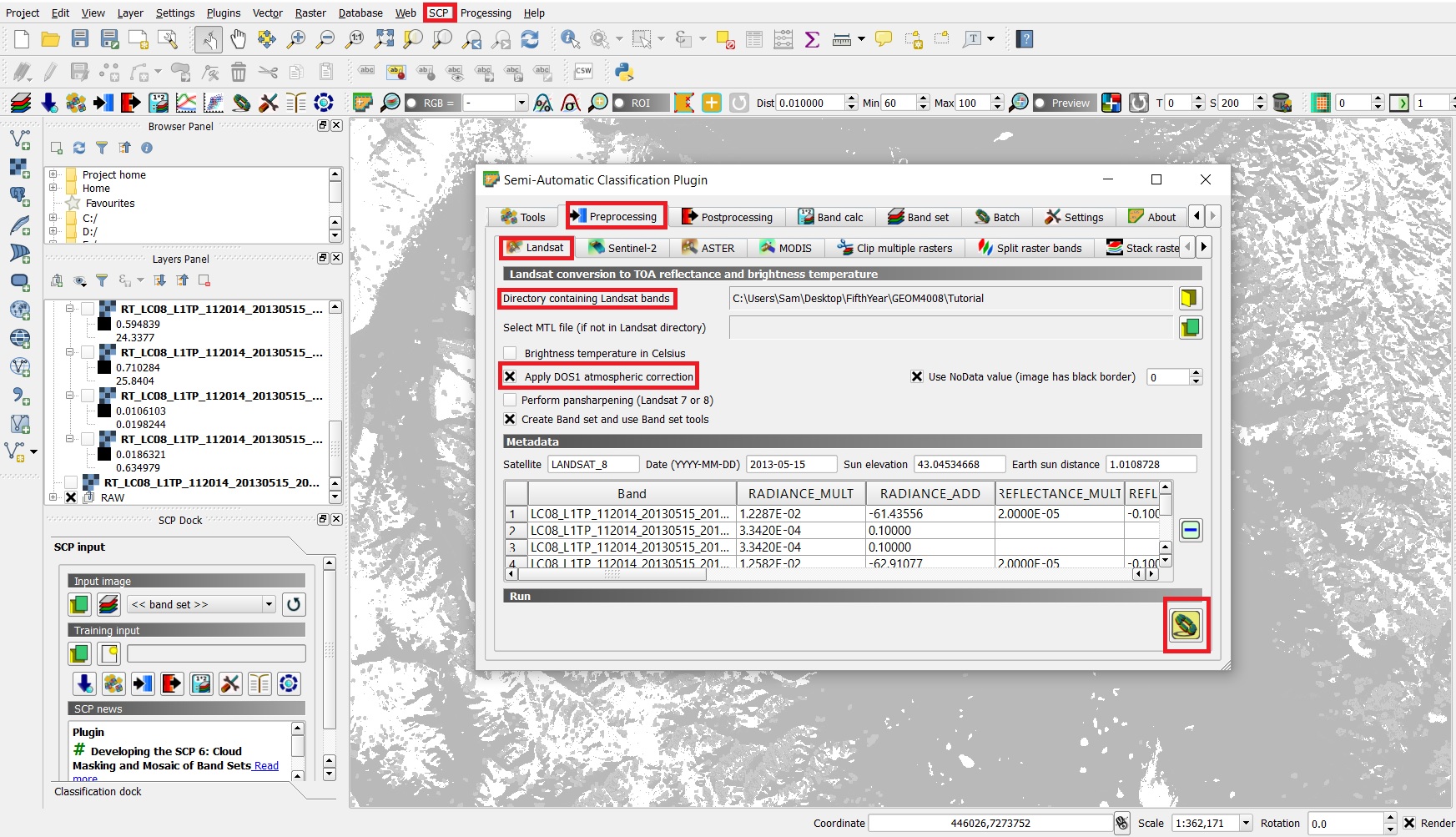
| 00:07, 23 December 2017 | ATCOR.jpg (file) |  |
597 KB | Samjardine | 1 | |
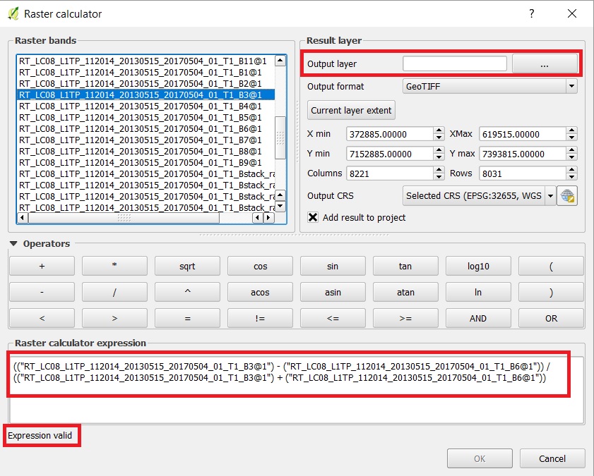
| 05:06, 23 December 2017 | NDSI.jpg (file) |  |
222 KB | Samjardine | 1 | |
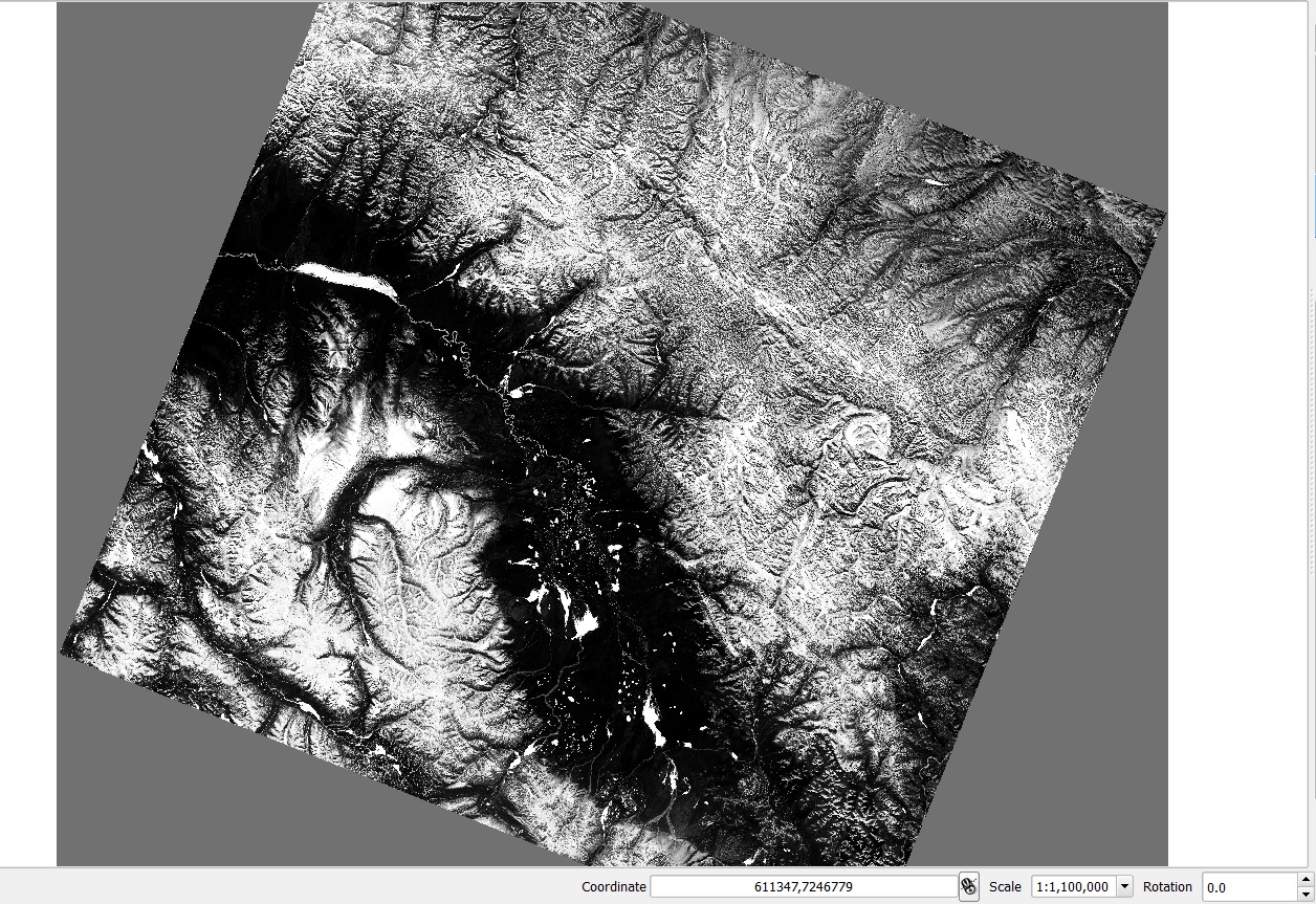
| 05:26, 23 December 2017 | NDSI OUTPUT.jpg (file) |  |
519 KB | Samjardine | 1 | |
| 05:32, 23 December 2017 | Identify.jpg (file) | 31 KB | Samjardine | 1 | ||
| 06:14, 23 December 2017 | NDSI SLICE.jpg (file) |  |
179 KB | Samjardine | 1 | |
| 06:18, 23 December 2017 | NDSI RECLASS.jpg (file) |  |
100 KB | Samjardine | 1 | |
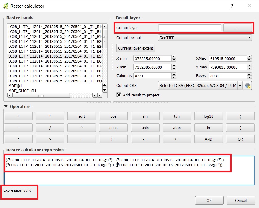
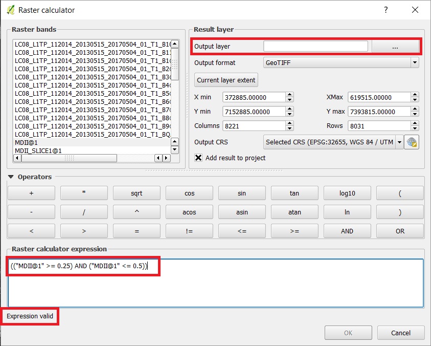
| 08:14, 23 December 2017 | MDII.jpg (file) |  |
207 KB | Samjardine | 1 | |
| 09:58, 23 December 2017 | NDWI.jpg (file) |  |
202 KB | Samjardine | 1 | |
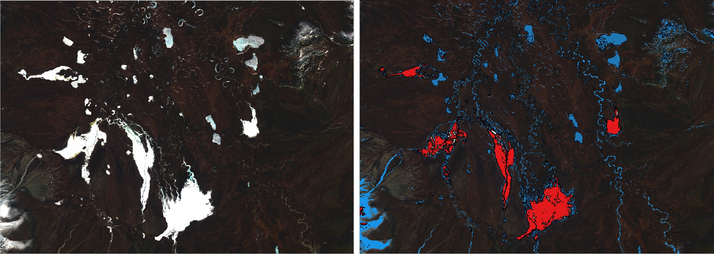
| 09:59, 23 December 2017 | MDII SLICE.jpg (file) |  |
184 KB | Samjardine | 1 | |
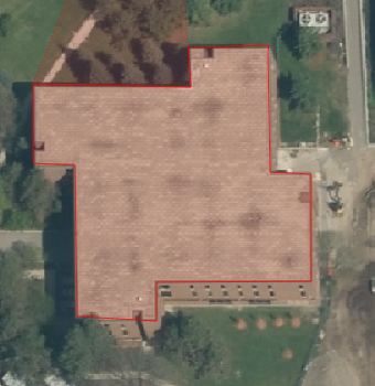
| 10:11, 23 December 2017 | FINAL.jpg (file) |  |
652 KB | Samjardine | 1 | |
| 16:34, 30 September 2018 | Screen Shot 2018-09-29 at 9.51.42 PM.png (file) | 74 KB | Tnlin19 | 1 | ||
| 16:37, 30 September 2018 | BC data extraction.png (file) | 74 KB | Tnlin19 | 1 | ||
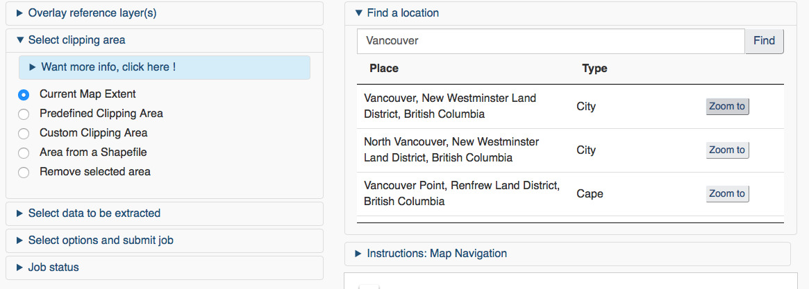
| 16:43, 30 September 2018 | Vancouver extraction.png (file) |  |
108 KB | Tnlin19 | 1 | |
| 16:45, 30 September 2018 | Vancouvermap.png (file) |  |
474 KB | Tnlin19 | 1 | |
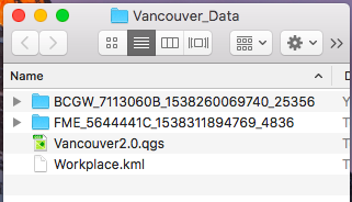
| 16:48, 30 September 2018 | Folder organization.png (file) |  |
35 KB | Tnlin19 | 1 | |
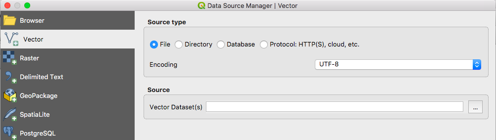
| 16:50, 30 September 2018 | Add vector.png (file) |  |
52 KB | Tnlin19 | 1 | |
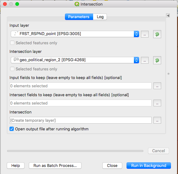
| 16:52, 30 September 2018 | Intersection.png (file) |  |
76 KB | Tnlin19 | 1 | |
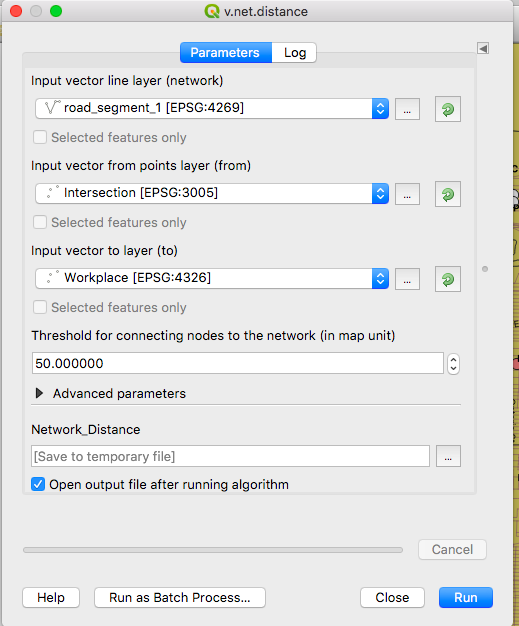
| 16:56, 30 September 2018 | Vnetdistance.png (file) |  |
87 KB | Tnlin19 | 1 | |
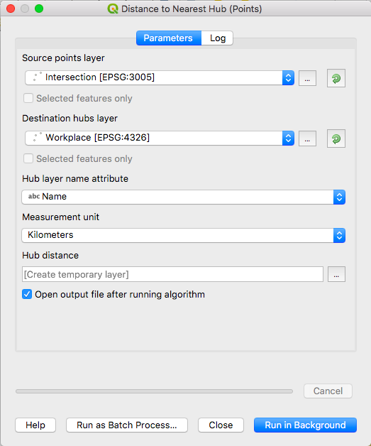
| 16:57, 30 September 2018 | Distance to nearest hub.png (file) |  |
69 KB | Tnlin19 | 1 | |
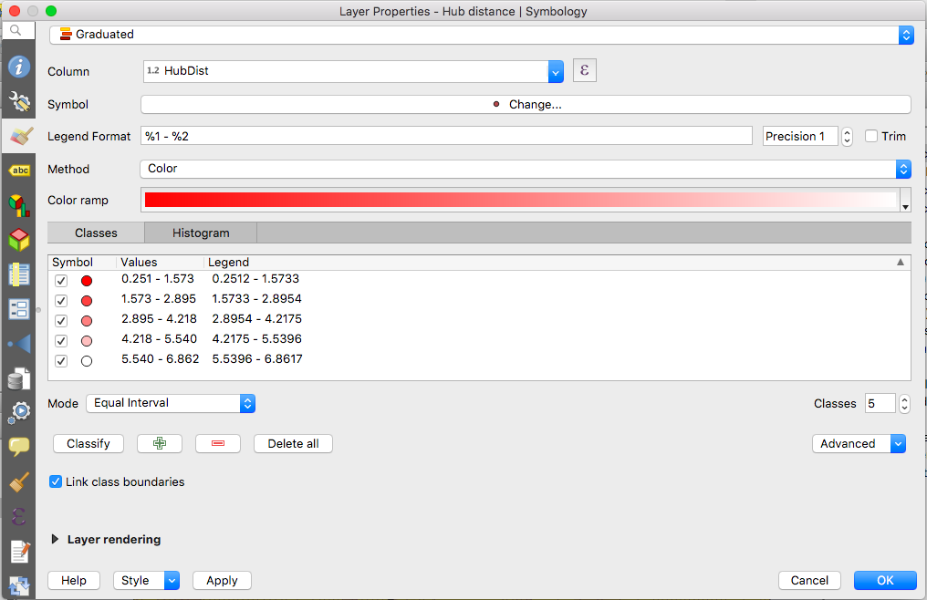
| 16:59, 30 September 2018 | Symbologyproperties.png (file) |  |
113 KB | Tnlin19 | 1 | |
| 17:01, 30 September 2018 | Print icon.png (file) | 8 KB | Tnlin19 | 1 | ||
| 17:03, 30 September 2018 | Legend.png (file) |  |
7 KB | Tnlin19 | 1 | |
| 17:07, 30 September 2018 | Mapfinalproduct.pdf (file) | 487 KB | Tnlin19 | 1 | ||
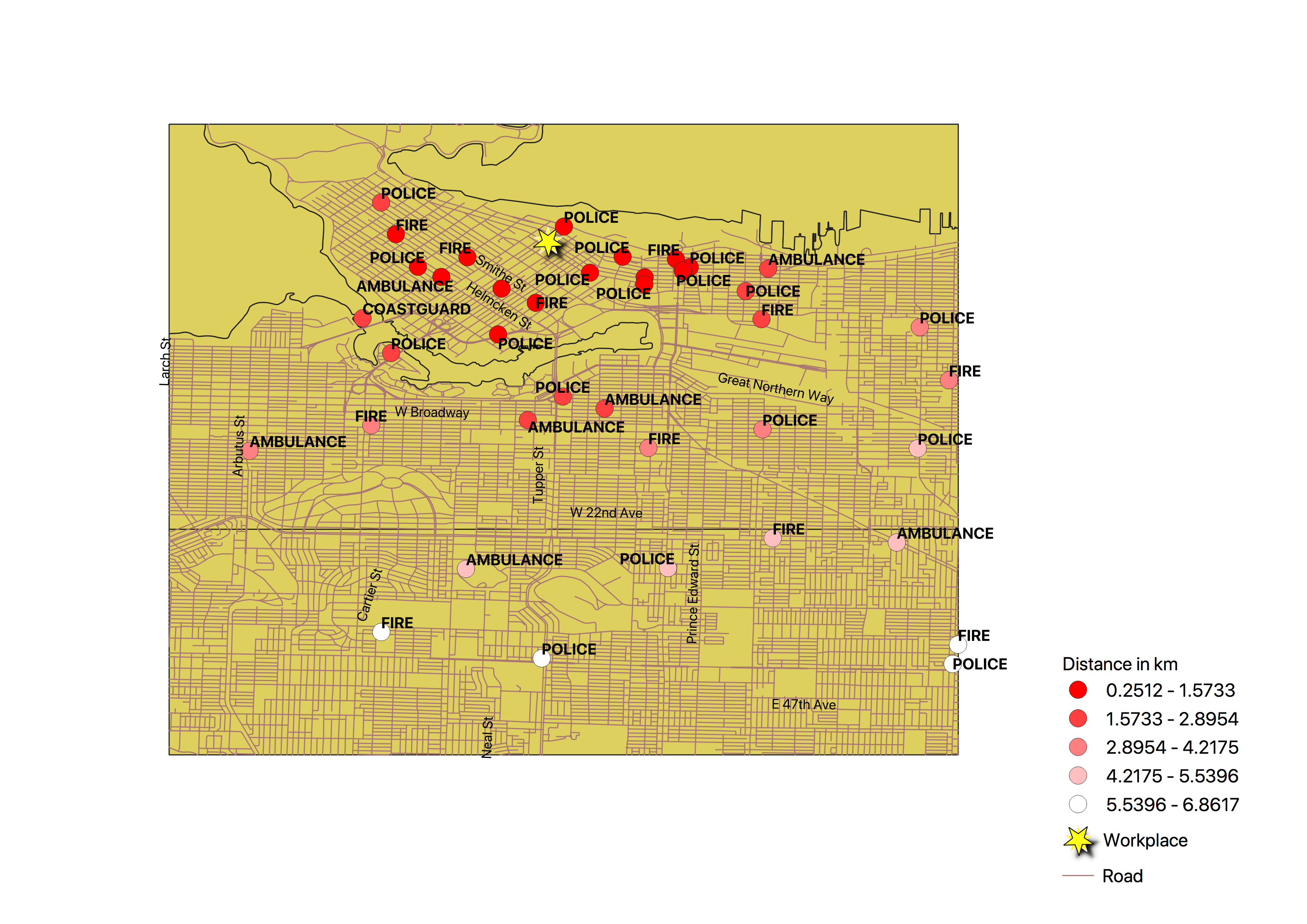
| 17:07, 30 September 2018 | Mapproduct.png (file) |  |
1.69 MB | Tnlin19 | 1 | |
| 17:12, 30 September 2018 | Datamanager.png (file) |  |
8 KB | Tnlin19 | 1 | |
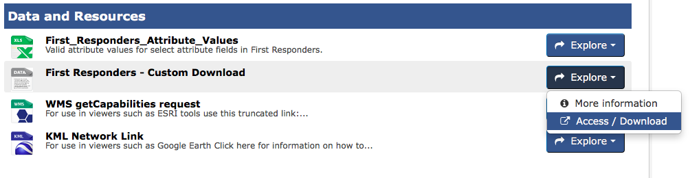
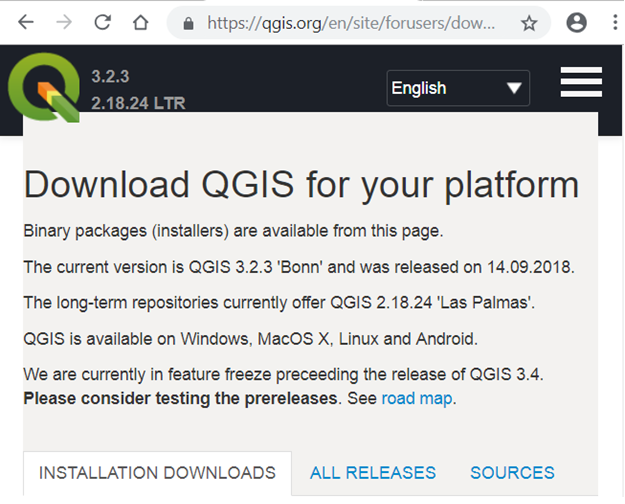
| 19:25, 30 September 2018 | Download Screen.png (file) |  |
156 KB | Robezac2 | Fixed oversize issue. | 2 |
| 19:27, 30 September 2018 | VersionQGIS.png (file) |  |
22 KB | Robezac2 | Shows proper version of QGIS for the tutorial. | 1 |
| 19:32, 30 September 2018 | QGIS Launcher.png (file) |  |
136 KB | Robezac2 | Initial screen of QGIS launcher. | 1 |
| 19:37, 30 September 2018 | QGIS Launcher Final.png (file) |  |
21 KB | Robezac2 | Final screen presented to user in launcher. | 1 |
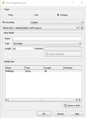
| 00:59, 1 October 2018 | New SHP Layer - Polygon.png (file) |  |
29 KB | Robezac2 | New SHP layer wizard image. | 1 |
| 01:06, 1 October 2018 | Create Polygon.png (file) |  |
1 KB | Robezac2 | Create polygon tool image. | 1 |
| 01:08, 1 October 2018 | Poly Before Creation.png (file) |  |
154 KB | Robezac2 | Polygon before finishing sketch. | 1 |
| 01:12, 1 October 2018 | Naming Polygon Window.png (file) |  |
4 KB | Robezac2 | Image of the window used to create name of polygon. | 1 |
| 01:15, 1 October 2018 | Polygon After Completion.png (file) |  |
85 KB | Robezac2 | Polygon after being completed and named. | 1 |
| 01:23, 1 October 2018 | New SHP Layer - Point.png (file) |  |
33 KB | Robezac2 | Image of new SHP layer wizard for Points. | 1 |
| 01:26, 1 October 2018 | Create Point.png (file) |  |
1,004 bytes | Robezac2 | Create Point button. | 1 |
| 01:29, 1 October 2018 | Naming Point Window.png (file) |  |
4 KB | Robezac2 | Naming Point window. | 1 |
| 01:36, 1 October 2018 | Ortho Image Location.png (file) |  |
82 KB | Robezac2 | Shows user where to get the ortho image from the carleton website linked in the "Data" section. | 1 |
| 13:15, 3 October 2018 | RasterSymbol.PNG (file) |  |
6 KB | Helenabck | 1 | |
| 13:21, 3 October 2018 | RasterSymbol.jpg (file) |  |
1 KB | Helenabck | 1 | |
| 18:02, 3 October 2018 | Add points action tool.PNG (file) |  |
113 KB | Pgoszt | 1 | |
| 18:05, 3 October 2018 | Create point layer Rover start.PNG (file) |  |
135 KB | Pgoszt | 1 | |
| 18:05, 3 October 2018 | Finished creating shapes.PNG (file) |  |
52 KB | Pgoszt | 1 | |
| 18:05, 3 October 2018 | Least cost path tool options.PNG (file) |  |
154 KB | Pgoszt | 1 | |
| 18:12, 3 October 2018 | Map with DTM imported.PNG (file) |  |
456 KB | Pgoszt | 2 | |
| 18:14, 3 October 2018 | Slope aspect curve output side by side.PNG (file) |  |
1.79 MB | Pgoszt | 1 | |
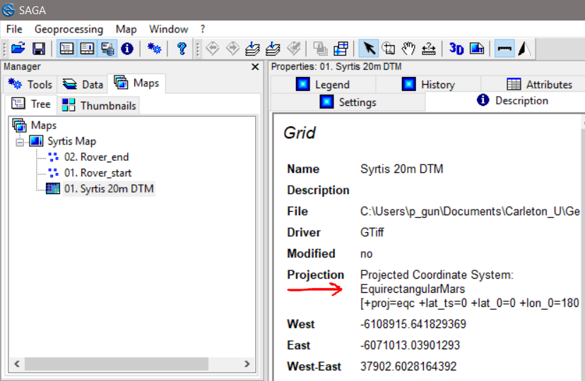
| 18:20, 3 October 2018 | Projection annoted.PNG (file) |  |
114 KB | Pgoszt | 1 | |
| 18:26, 3 October 2018 | Logo saga big.png (file) |  |
4 KB | Jonathanpierre | Logo of SAGA GIS | 1 |
| 18:28, 3 October 2018 | Head saga title.png (file) | 5 KB | Jonathanpierre | System for Automated Geoscientific Analyses | 1 | |
| 18:58, 3 October 2018 | Maprojections1.jpg (file) |  |
84 KB | Jonathanpierre | 1 |