File list
From CUOSGwiki
Jump to navigationJump to searchThis special page shows all uploaded files.
| Date | Name | Thumbnail | Size | User | Description | Versions |
|---|---|---|---|---|---|---|
| 15:22, 13 December 2014 | Image38.png (file) |  |
91 KB | TimothyChadwick | load the concentration range data used for the IDW interpolation. | 1 |
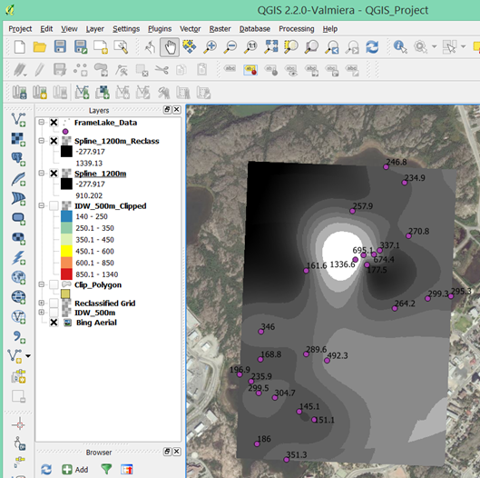
| 15:18, 13 December 2014 | Image37.png (file) |  |
250 KB | TimothyChadwick | Map view of output thin plate spline interpolation surface. | 1 |
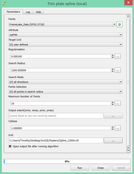
| 15:13, 13 December 2014 | Image36.png (file) |  |
62 KB | TimothyChadwick | 'Thin plate spline (local)' inputs window. | 1 |
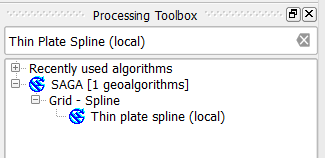
| 15:11, 13 December 2014 | Image35.png (file) |  |
6 KB | TimothyChadwick | Finding the 'thin plate spline (local)' tool. | 1 |
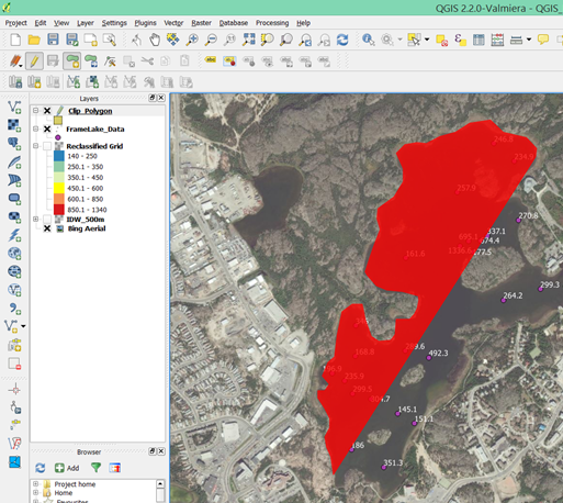
| 14:49, 13 December 2014 | Image34.png (file) |  |
299 KB | TimothyChadwick | Final clipped IDW interpolation surface. | 1 |
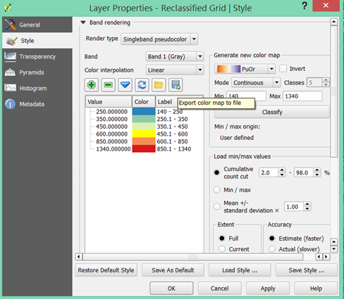
| 14:47, 13 December 2014 | Image33.png (file) |  |
105 KB | TimothyChadwick | Exporting colour map classification settings. | 1 |
| 14:44, 13 December 2014 | Image32.png (file) |  |
205 KB | TimothyChadwick | Map view of clipped interpolation surface. | 1 |
| 14:33, 13 December 2014 | Image31.png (file) |  |
32 KB | TimothyChadwick | 'Clip grid with polygon' window | 1 |
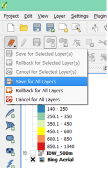
| 14:25, 13 December 2014 | Image30.png (file) |  |
53 KB | TimothyChadwick | 'save for all layers' tab. | 1 |
| 14:21, 13 December 2014 | Image29.png (file) |  |
311 KB | TimothyChadwick | creating a digitized polygon of the lake extent. | 1 |
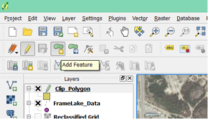
| 14:16, 13 December 2014 | Image28.png (file) |  |
80 KB | TimothyChadwick | Add feature button. | 1 |
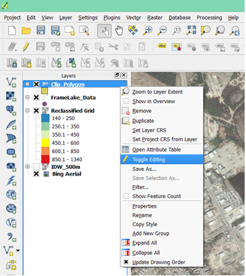
| 14:13, 13 December 2014 | Image27.png (file) |  |
136 KB | TimothyChadwick | 'Toggle editing' tab for new shapefile. | 1 |
| 14:10, 13 December 2014 | Image26.png (file) |  |
41 KB | TimothyChadwick | New vector layer window | 1 |
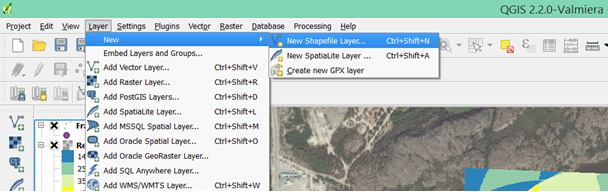
| 14:05, 13 December 2014 | Image25.png (file) |  |
125 KB | TimothyChadwick | Finding the 'New Shapefile' tab. | 1 |
| 13:47, 13 December 2014 | Image24.png (file) |  |
227 KB | TimothyChadwick | Final IDW interpolated surface with colour ramp symbology. | 1 |
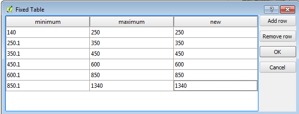
| 13:44, 13 December 2014 | Image23.png (file) |  |
31 KB | TimothyChadwick | reclassifying value ranges for the colour ramp. | 1 |
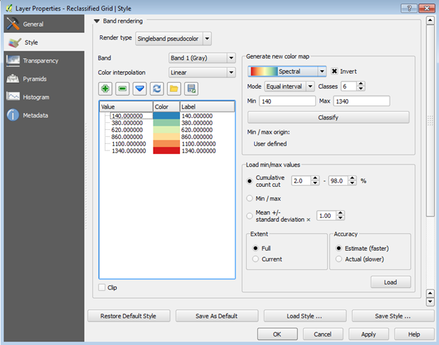
| 13:40, 13 December 2014 | Image22.png (file) |  |
110 KB | TimothyChadwick | 'Style' properties menu for the IDW reclassified interpolated surface. | 1 |
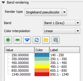
| 13:38, 13 December 2014 | Image21.png (file) |  |
215 KB | TimothyChadwick | Map view of reclassified IDW interpolated surface | 1 |
| 13:35, 13 December 2014 | Image20.png (file) |  |
12 KB | TimothyChadwick | Data range values for the input table. | 1 |
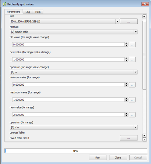
| 13:31, 13 December 2014 | Image19.png (file) |  |
62 KB | TimothyChadwick | Reclassify Gird values tool input window. | 1 |
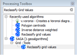
| 13:28, 13 December 2014 | Image18.png (file) |  |
42 KB | TimothyChadwick | Find the 'reclassify grid values' tool in the QGIS Toolbox | 1 |
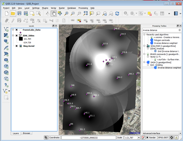
| 13:21, 13 December 2014 | Image17.png (file) |  |
209 KB | TimothyChadwick | Output IDW interpolation raster layer. | 1 |
| 13:18, 13 December 2014 | Image16.png (file) |  |
97 KB | TimothyChadwick | IDW interpolation input window. | 1 |
| 13:13, 13 December 2014 | Image15.png (file) |  |
170 KB | TimothyChadwick | Finding the SAGA IDW tool in the QGIS Toolbox | 1 |
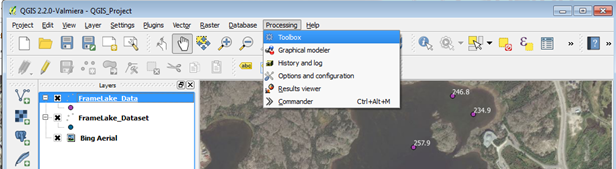
| 13:11, 13 December 2014 | Image14.png (file) | 109 KB | TimothyChadwick | Finding the toolbox tab | 1 | |
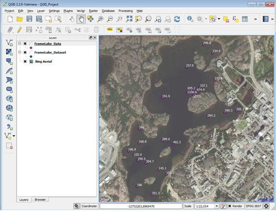
| 13:03, 13 December 2014 | Image13.png (file) |  |
288 KB | TimothyChadwick | Map view of labelled data and loaded basemap before starting the interpolations. | 1 |
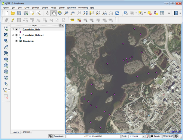
| 13:01, 13 December 2014 | Image12.png (file) |  |
73 KB | TimothyChadwick | Label properties tab. | 1 |
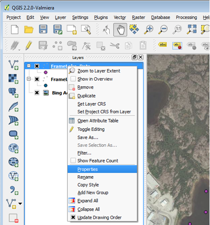
| 12:58, 13 December 2014 | Image11.png (file) |  |
178 KB | TimothyChadwick | Locating shapefile properties tab | 1 |
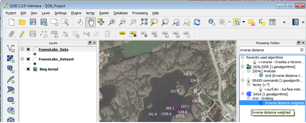
| 12:55, 13 December 2014 | Image10.png (file) |  |
317 KB | TimothyChadwick | map display with added basemap | 1 |
| 12:49, 13 December 2014 | Image9.png (file) |  |
98 KB | TimothyChadwick | Adding a Bing Aerial Map Layer to display | 1 |
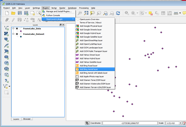
| 12:47, 13 December 2014 | Image8.png (file) |  |
53 KB | TimothyChadwick | finding the Open layers plugin | 1 |
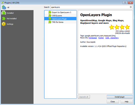
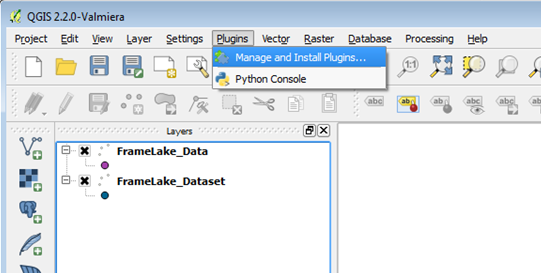
| 12:43, 13 December 2014 | Image7.png (file) |  |
63 KB | TimothyChadwick | Manage and install plugins tab | 1 |
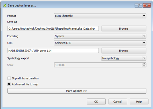
| 12:17, 13 December 2014 | Image6.png (file) |  |
51 KB | TimothyChadwick | Save vector layer input window. Be sure to assign the correct UTM zone for the dataset. | 1 |
| 12:13, 13 December 2014 | Image5.png (file) |  |
77 KB | TimothyChadwick | Right-click on the 'FrameLake_Dataset point layer. Click save as. | 1 |
| 12:10, 13 December 2014 | Image4.png (file) |  |
114 KB | TimothyChadwick | create a layer from a delimited text file inputs window | 1 |
| 12:06, 13 December 2014 | Image3.png (file) |  |
74 KB | TimothyChadwick | Adding a delimited text file (CSV) | 1 |
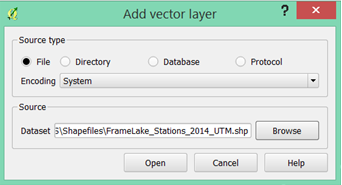
| 12:00, 13 December 2014 | Image2.png (file) |  |
24 KB | TimothyChadwick | Add vector layer save window. | 1 |
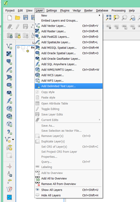
| 11:55, 13 December 2014 | Image1.png (file) |  |
106 KB | TimothyChadwick | Opening a vector layer | 1 |
| 11:21, 13 December 2014 | QGISBanner.png (file) |  |
59 KB | TimothyChadwick | Example QGIS logo | 1 |
| 10:37, 13 December 2014 | CarletonWide K 186.gif (file) |  |
7 KB | LaurenA | 1 | |
| 09:34, 13 December 2014 | CuLogo.png (file) |  |
79 KB | Smitchs | 1 | |
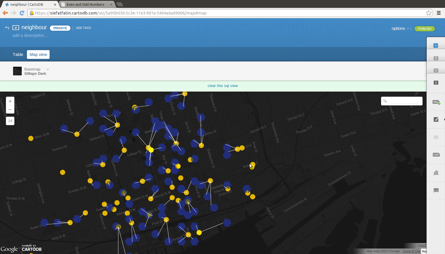
| 01:31, 25 December 2013 | Toggle.png (file) |  |
448 KB | Siefatfatin | 2 | |
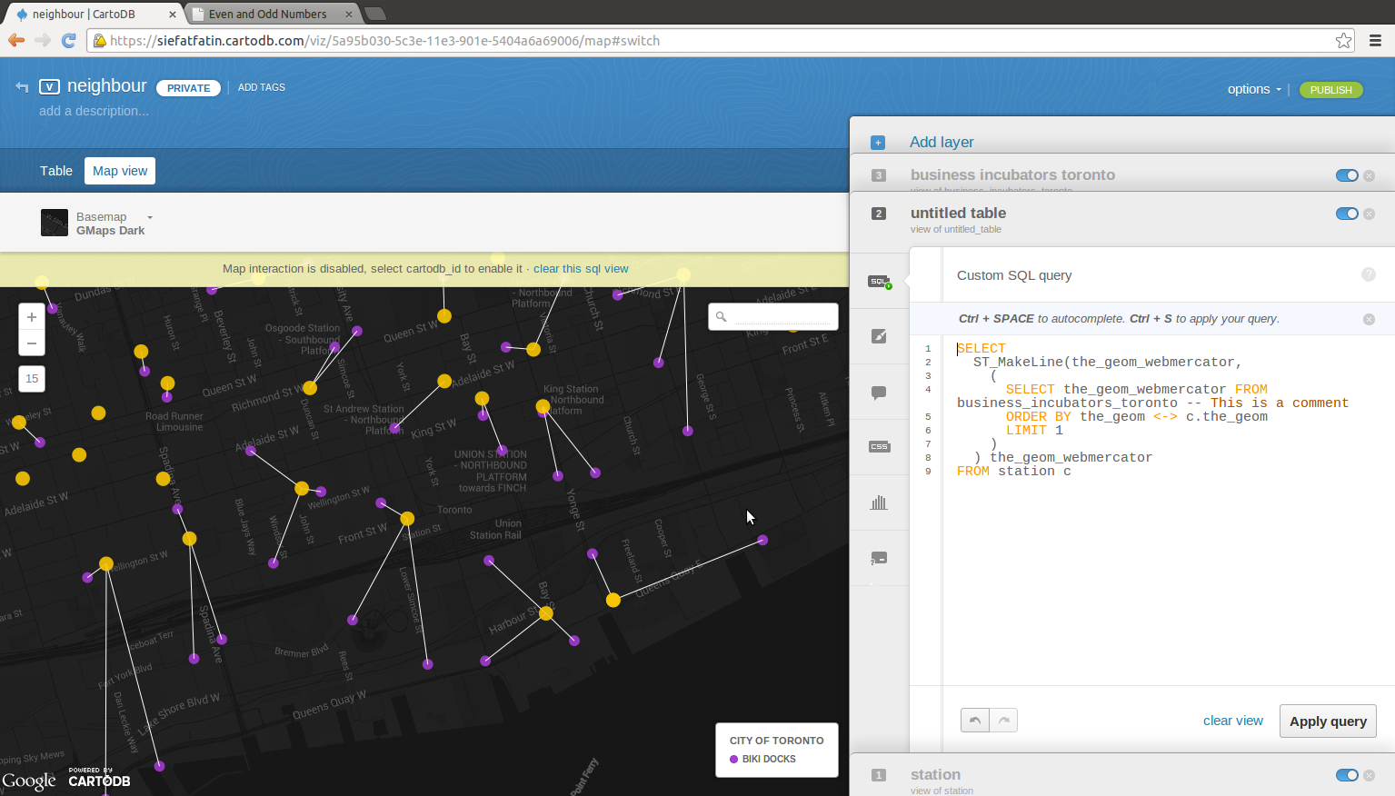
| 01:15, 25 December 2013 | Sql.png (file) |  |
389 KB | Siefatfatin | 1 | |
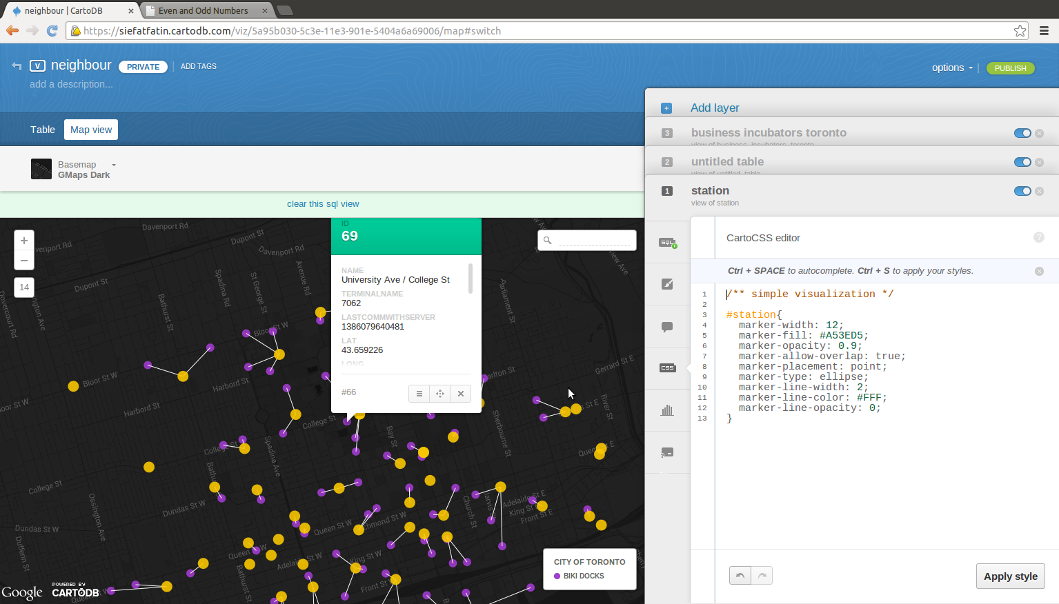
| 01:15, 25 December 2013 | Css.png (file) |  |
425 KB | Siefatfatin | 1 | |
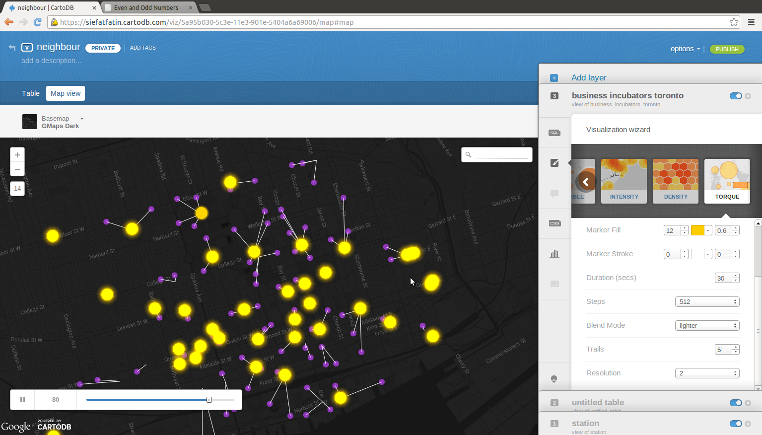
| 01:12, 25 December 2013 | Torque.png (file) |  |
553 KB | Siefatfatin | 1 | |
| 01:12, 25 December 2013 | Matrix.png (file) |  |
487 KB | Siefatfatin | 1 | |
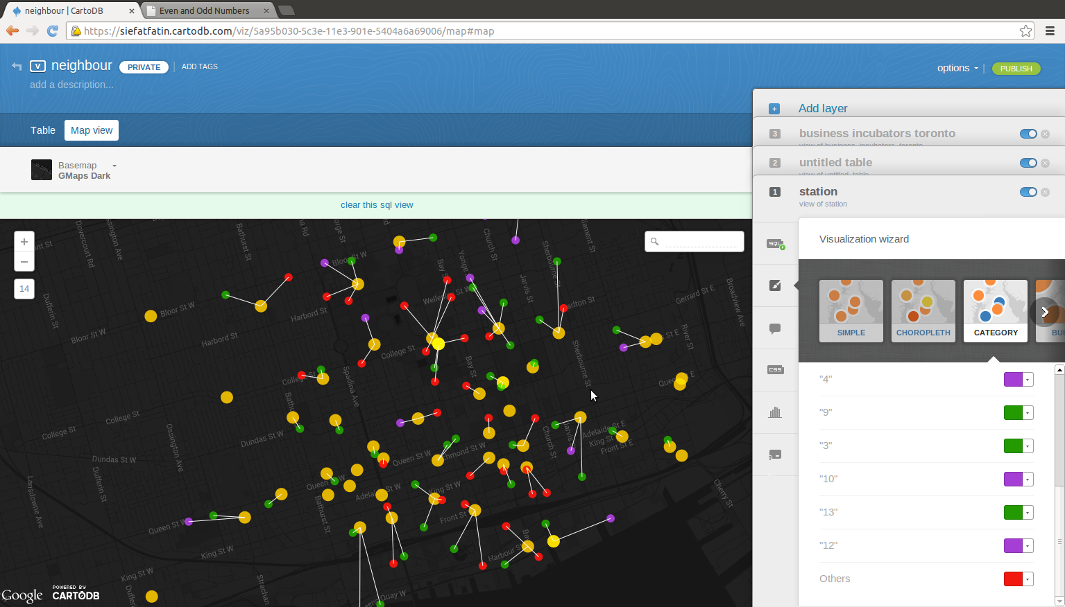
| 01:11, 25 December 2013 | Cat.png (file) |  |
490 KB | Siefatfatin | 1 | |
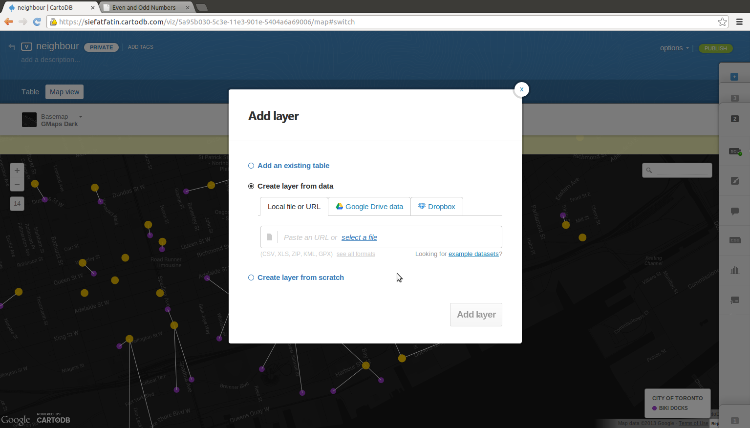
| 01:11, 25 December 2013 | Import.png (file) |  |
309 KB | Siefatfatin | 1 | |
| 01:09, 25 December 2013 | Vim2.png (file) |  |
56 KB | Siefatfatin | 1 | |
| 01:09, 25 December 2013 | Vim1.png (file) |  |
62 KB | Siefatfatin | 1 |