File list
From CUOSGwiki
Jump to navigationJump to searchThis special page shows all uploaded files.
| Date | Name | Thumbnail | Size | User | Description | Versions |
|---|---|---|---|---|---|---|
| 00:52, 20 December 2017 | Addfeaturetab.png (file) |  |
886 bytes | Beckytrimble | 1 | |
| 00:52, 20 December 2017 | Toggleediting.png (file) |  |
998 bytes | Beckytrimble | 1 | |
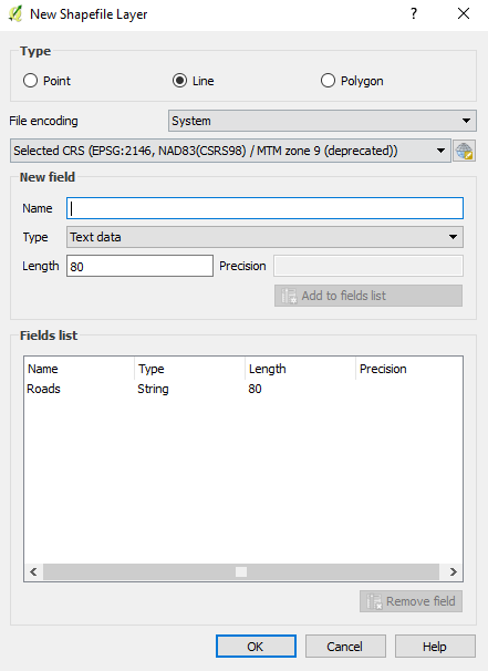
| 00:44, 20 December 2017 | Shapefilelayer1.png (file) |  |
20 KB | Beckytrimble | 1 | |
| 00:43, 20 December 2017 | Rastcalc.JPG (file) |  |
57 KB | Elenilatsis | 1 | |
| 00:41, 20 December 2017 | Shapefilelayer.png (file) |  |
21 KB | Beckytrimble | 1 | |
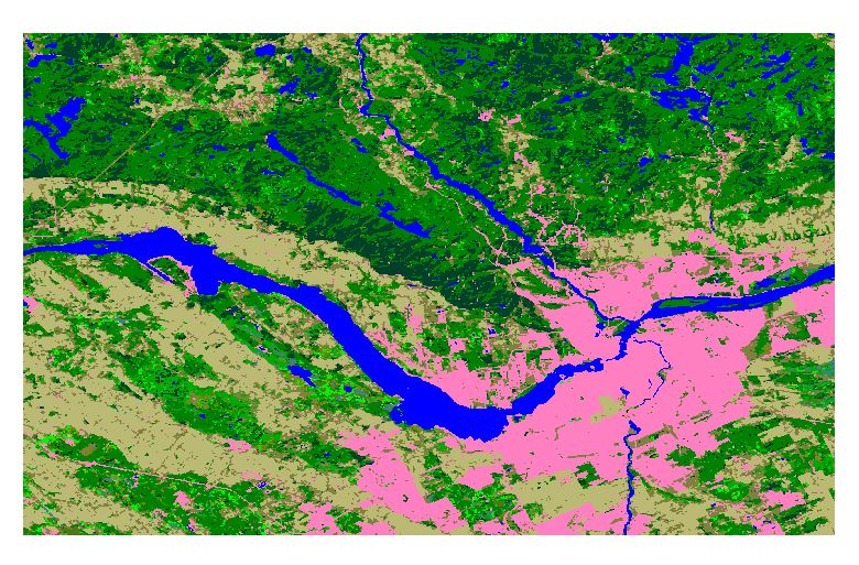
| 00:21, 20 December 2017 | Landcover.JPG (file) |  |
158 KB | Elenilatsis | 1 | |
| 00:21, 20 December 2017 | ReclassMap.JPG (file) |  |
151 KB | Elenilatsis | 1 | |
| 00:17, 20 December 2017 | Coordinatetab.png (file) |  |
1 KB | Beckytrimble | 1 | |
| 00:11, 20 December 2017 | Imagelayertab.png (file) |  |
5 KB | Beckytrimble | 1 | |
| 23:58, 19 December 2017 | Colourreclass.JPG (file) |  |
62 KB | Elenilatsis | 1 | |
| 23:48, 19 December 2017 | Rules.JPG (file) |  |
19 KB | Elenilatsis | 1 | |
| 23:44, 19 December 2017 | Zoomout.png (file) |  |
808 bytes | Beckytrimble | 1 | |
| 23:42, 19 December 2017 | Zoominpic.png (file) |  |
857 bytes | Beckytrimble | 1 | |
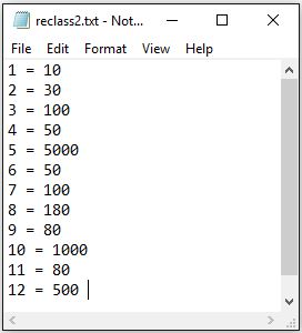
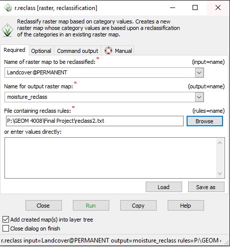
| 23:41, 19 December 2017 | Reclass.JPG (file) |  |
53 KB | Elenilatsis | 1 | |
| 23:34, 19 December 2017 | Addrasterlayer1.png (file) |  |
33 KB | Beckytrimble | 1 | |
| 20:47, 19 December 2017 | ColourTable.JPG (file) |  |
71 KB | Elenilatsis | 1 | |
| 19:43, 19 December 2017 | ImportRaster.jpg (file) |  |
143 KB | Elenilatsis | 1 | |
| 18:50, 19 December 2017 | SetEPSG.JPG (file) |  |
65 KB | Elenilatsis | 1 | |
| 18:50, 19 December 2017 | CreatingNewLocation.JPG (file) |  |
48 KB | Elenilatsis | 1 | |
| 18:50, 19 December 2017 | GrassStartUp.JPG (file) |  |
102 KB | Elenilatsis | 2 | |
| 18:48, 19 December 2017 | NewLattice.png (file) |  |
7 KB | RafSey | 1 | |
| 18:47, 19 December 2017 | CreatingBasicContours.png (file) |  |
5 KB | RafSey | 1 | |
| 18:44, 19 December 2017 | BasicContourCode.png (file) |  |
5 KB | RafSey | 4 | |
| 18:33, 19 December 2017 | Aoi complete Project Polygon2.tif (file) |  |
622 KB | ColtonMale | land cover type raster file for Ottawa. | 1 |
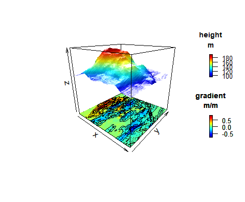
| 18:16, 19 December 2017 | CompositesExample.png (file) |  |
28 KB | RafSey | 1 | |
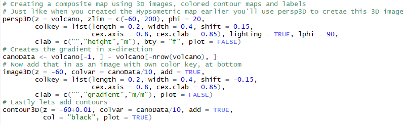
| 18:13, 19 December 2017 | CompositesCode.png (file) |  |
22 KB | RafSey | 1 | |
| 17:25, 19 December 2017 | Seabed3D.png (file) |  |
24 KB | RafSey | 1 | |
| 17:25, 19 December 2017 | Going3D.png (file) |  |
24 KB | RafSey | 6 | |
| 17:13, 19 December 2017 | 3DPlotting.png (file) |  |
16 KB | RafSey | 1 | |
| 17:07, 19 December 2017 | Installing.png (file) |  |
9 KB | RafSey | 2 | |
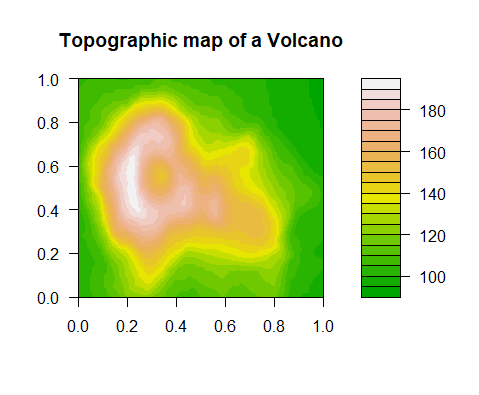
| 18:57, 18 December 2017 | ColoredContours.png (file) |  |
8 KB | RafSey | 1 | |
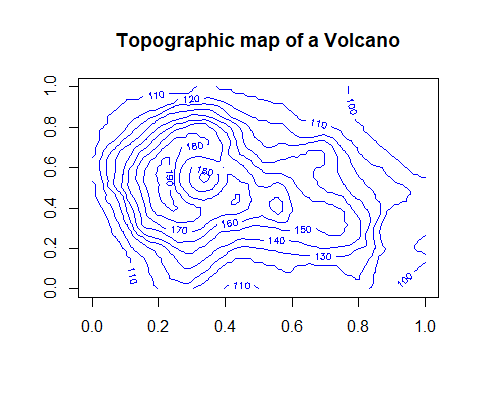
| 18:56, 18 December 2017 | BasicContours.png (file) |  |
7 KB | RafSey | 1 | |
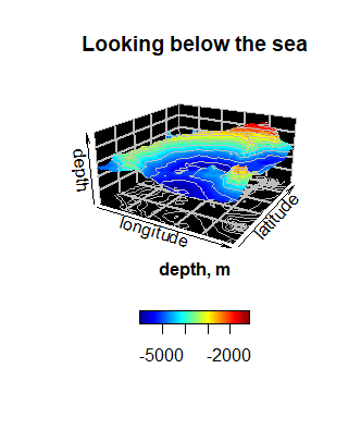
| 17:57, 18 December 2017 | LookingBelowtheSea.png (file) |  |
9 KB | RafSey | 1 | |
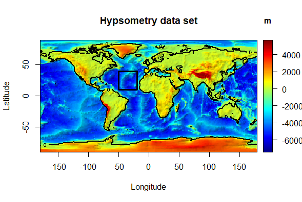
| 17:40, 18 December 2017 | HypsometricMap2D.png (file) |  |
136 KB | RafSey | 1 | |
| 17:40, 18 December 2017 | CreatingSeaLvlMap.png (file) |  |
6 KB | RafSey | 2 | |
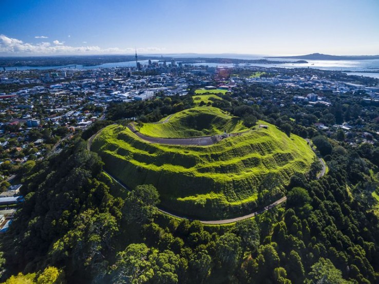
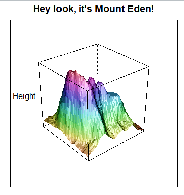
| 16:49, 18 December 2017 | MountEden.jpg (file) |  |
140 KB | RafSey | 1 | |
| 20:22, 17 December 2017 | Lattice3D.png (file) |  |
23 KB | RafSey | 1 | |
| 19:57, 17 December 2017 | LatticeCode.png (file) |  |
9 KB | RafSey | 1 | |
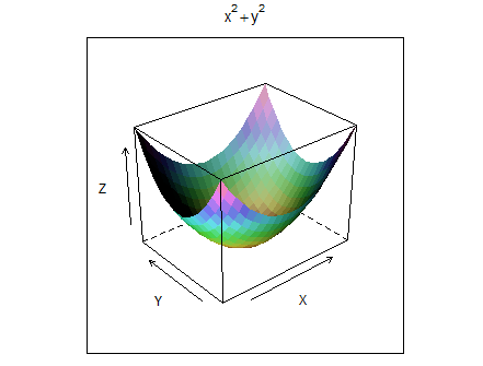
| 19:28, 17 December 2017 | DRAPPED.png (file) |  |
8 KB | RafSey | 1 | |
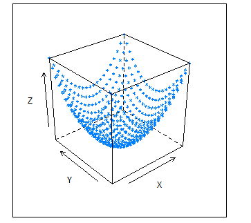
| 19:28, 17 December 2017 | DOTS.png (file) |  |
4 KB | RafSey | 1 | |
| 07:47, 23 October 2017 | Tpilegend.PNG (file) |  |
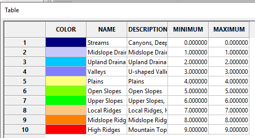
12 KB | Awoestreicher | TPI Based landforms classification Output legend, Gatineau park, SAGA GIS | 1 |
| 07:44, 23 October 2017 | Tpilandforms.PNG (file) |  |
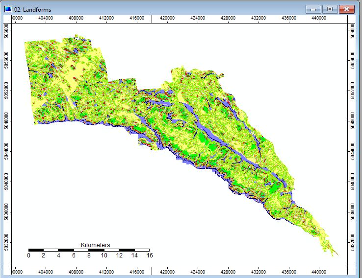
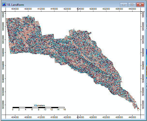
68 KB | Awoestreicher | TPI Based landforms classification Output, Gatineau park, SAGA GIS | 1 |
| 07:43, 23 October 2017 | Tpilandformsoptions.PNG (file) |  |
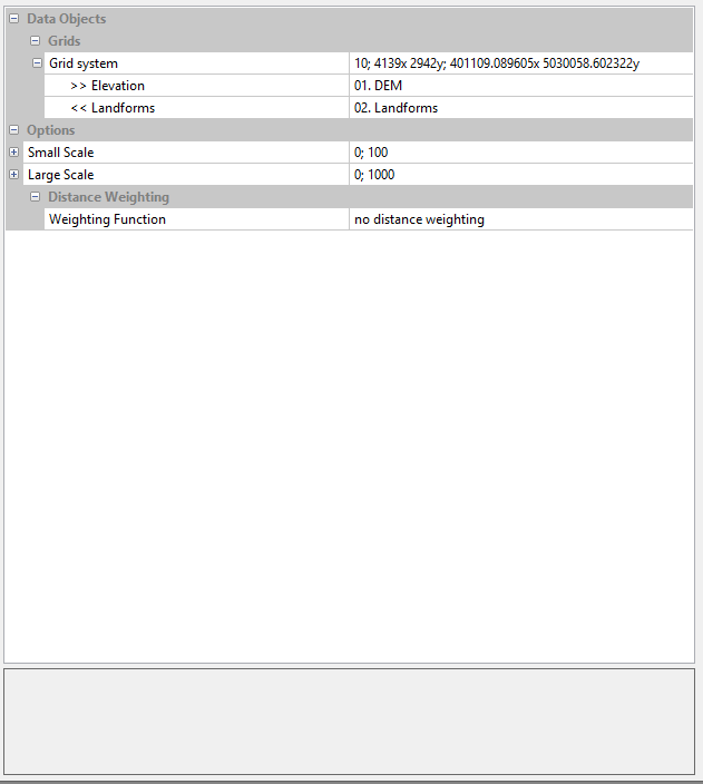
11 KB | Awoestreicher | TPI Based landforms classification options menu, SAGA | 1 |
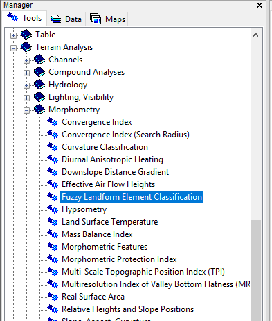
| 07:38, 23 October 2017 | TPIlandselection.PNG (file) |  |
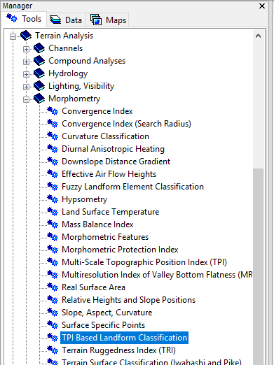
25 KB | Awoestreicher | Location in tools menu of TPI Based Landform Classification tool in SAGA | 1 |
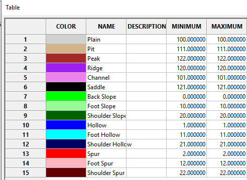
| 03:26, 23 October 2017 | Fuzzy legend.PNG (file) |  |
14 KB | Awoestreicher | 1 | |
| 03:18, 23 October 2017 | Gatineauselections.PNG (file) |  |
21 KB | Awoestreicher | Location of the fuzzy landform elements classification tool in SAGA GIS | 1 |
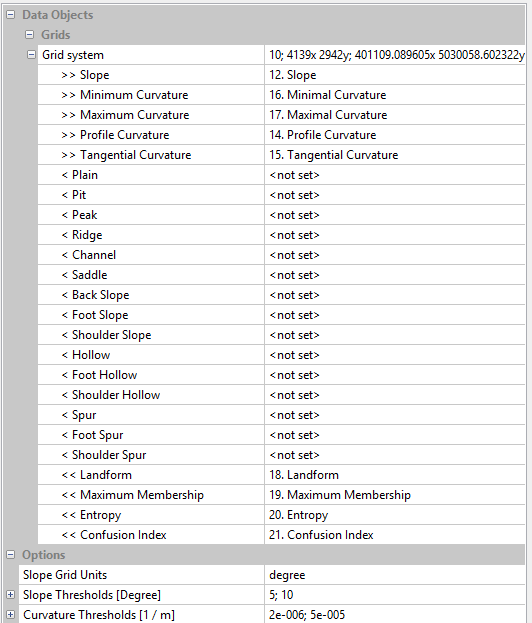
| 03:01, 23 October 2017 | Gatineaufuzzyoptions.PNG (file) |  |
22 KB | Awoestreicher | Options for for fuzzy landform element classification, SAGA | 1 |
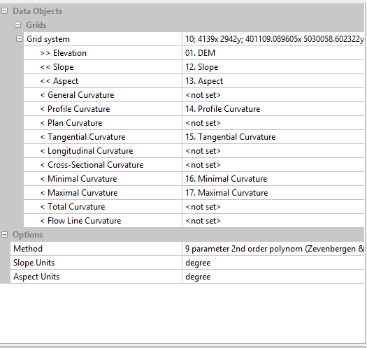
| 03:00, 23 October 2017 | Gatineau options.PNG (file) |  |
16 KB | Awoestreicher | Options for the slope and curvature surfaces needed for fuzzy landform element classification, SAGA | 1 |
| 02:59, 23 October 2017 | Gatineau.PNG (file) |  |
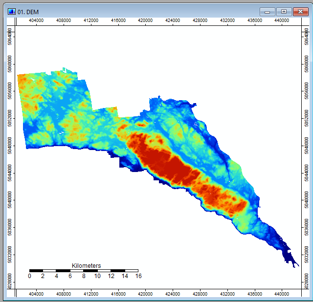
139 KB | Awoestreicher | Gatineau Park DEM via SAGA | 1 |
| 02:59, 23 October 2017 | Gatineaufuzzy.PNG (file) |  |
66 KB | Awoestreicher | fuzzy logic landform element interpretation of gatineau park via SAGA | 1 |