File list
From CUOSGwiki
Jump to navigationJump to searchThis special page shows all uploaded files.
| Date | Name | Thumbnail | Size | User | Description | Versions |
|---|---|---|---|---|---|---|
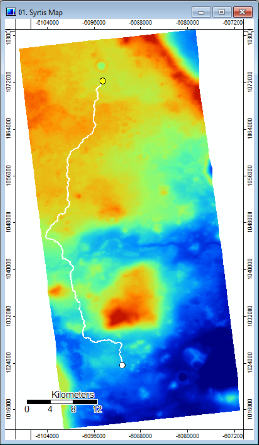
| 14:47, 4 October 2018 | Final map with least cost line.PNG (file) |  |
452 KB | Pgoszt | 3 | |
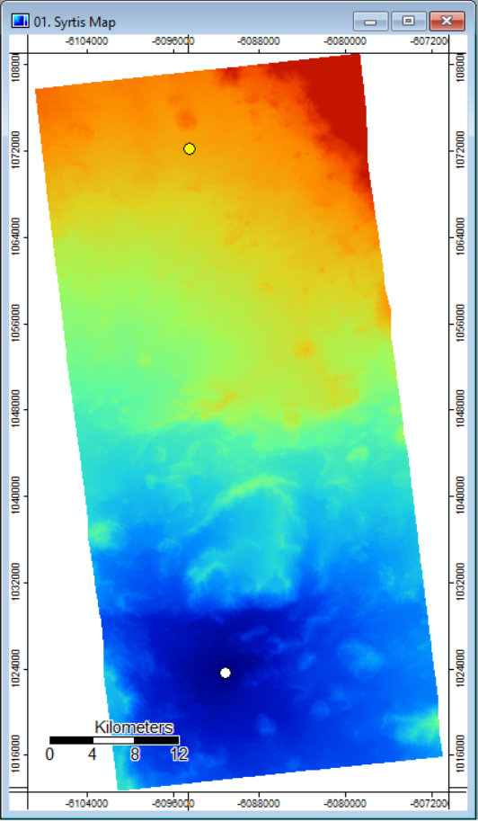
| 14:39, 4 October 2018 | Accumulated cost with points.PNG (file) |  |
351 KB | Pgoszt | 2 | |
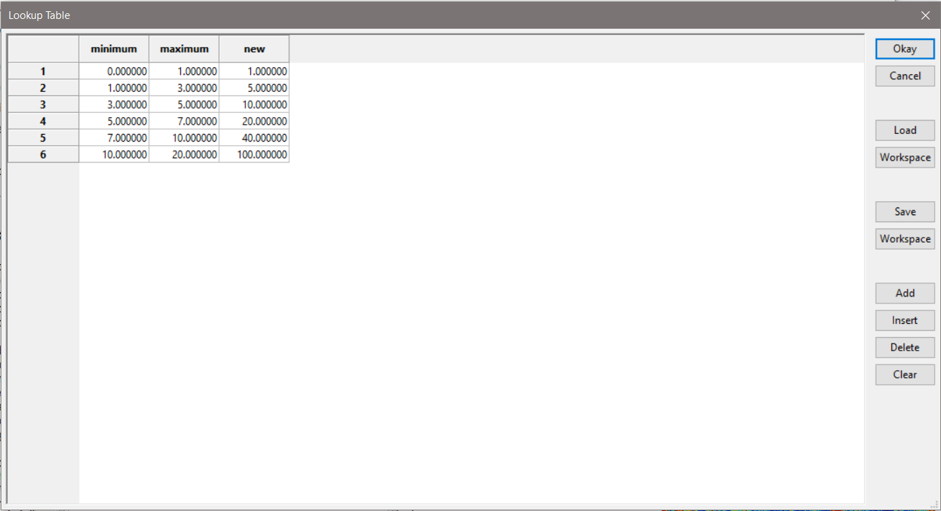
| 14:25, 4 October 2018 | Slope reclassed values.PNG (file) |  |
45 KB | Pgoszt | 1 | |
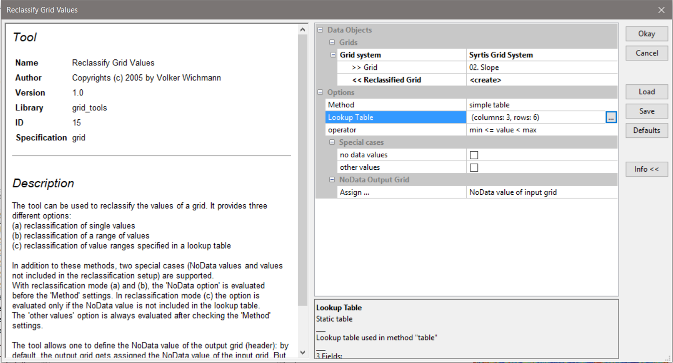
| 14:24, 4 October 2018 | Reclass tool.PNG (file) |  |
213 KB | Pgoszt | 1 | |
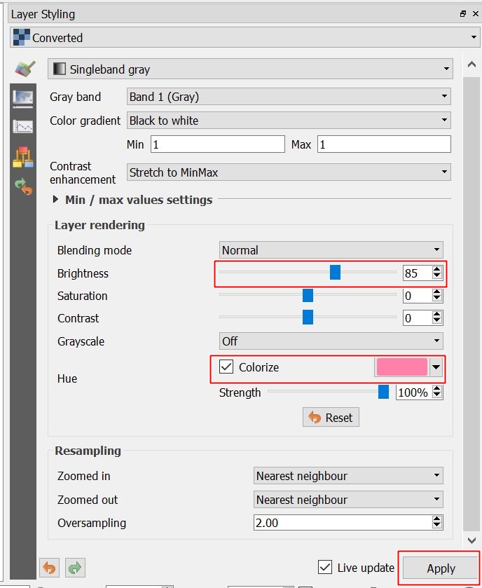
| 14:03, 4 October 2018 | Layer Styling.JPG (file) |  |
128 KB | Helenabck | 1 | |
| 13:58, 4 October 2018 | Layer Panel.JPG (file) | 19 KB | Helenabck | 1 | ||
| 13:56, 4 October 2018 | RGB SCP.JPG (file) | 94 KB | Helenabck | 1 | ||
| 12:11, 4 October 2018 | Extract Ice.JPG (file) |  |
270 KB | Helenabck | 1 | |
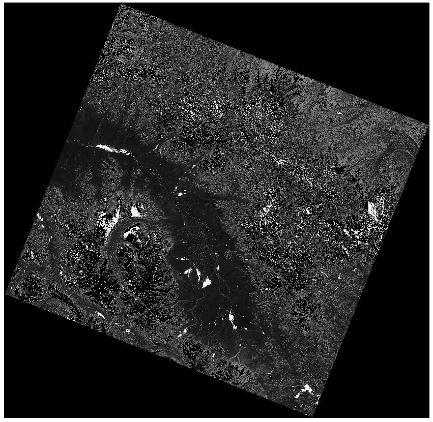
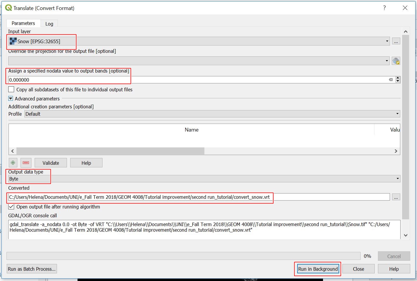
| 11:17, 4 October 2018 | Converted output snow.JPG (file) |  |
211 KB | Helenabck | 1 | |
| 11:07, 4 October 2018 | Identify RS.JPG (file) |  |
8 KB | Helenabck | 1 | |
| 11:07, 4 October 2018 | Translate snow.JPG (file) | 267 KB | Helenabck | 1 | ||
| 10:58, 4 October 2018 | Extract SNOW.JPG (file) |  |
253 KB | Helenabck | 1 | |
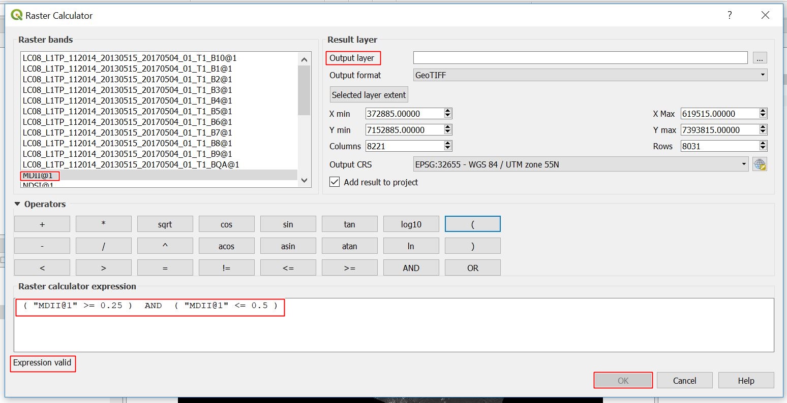
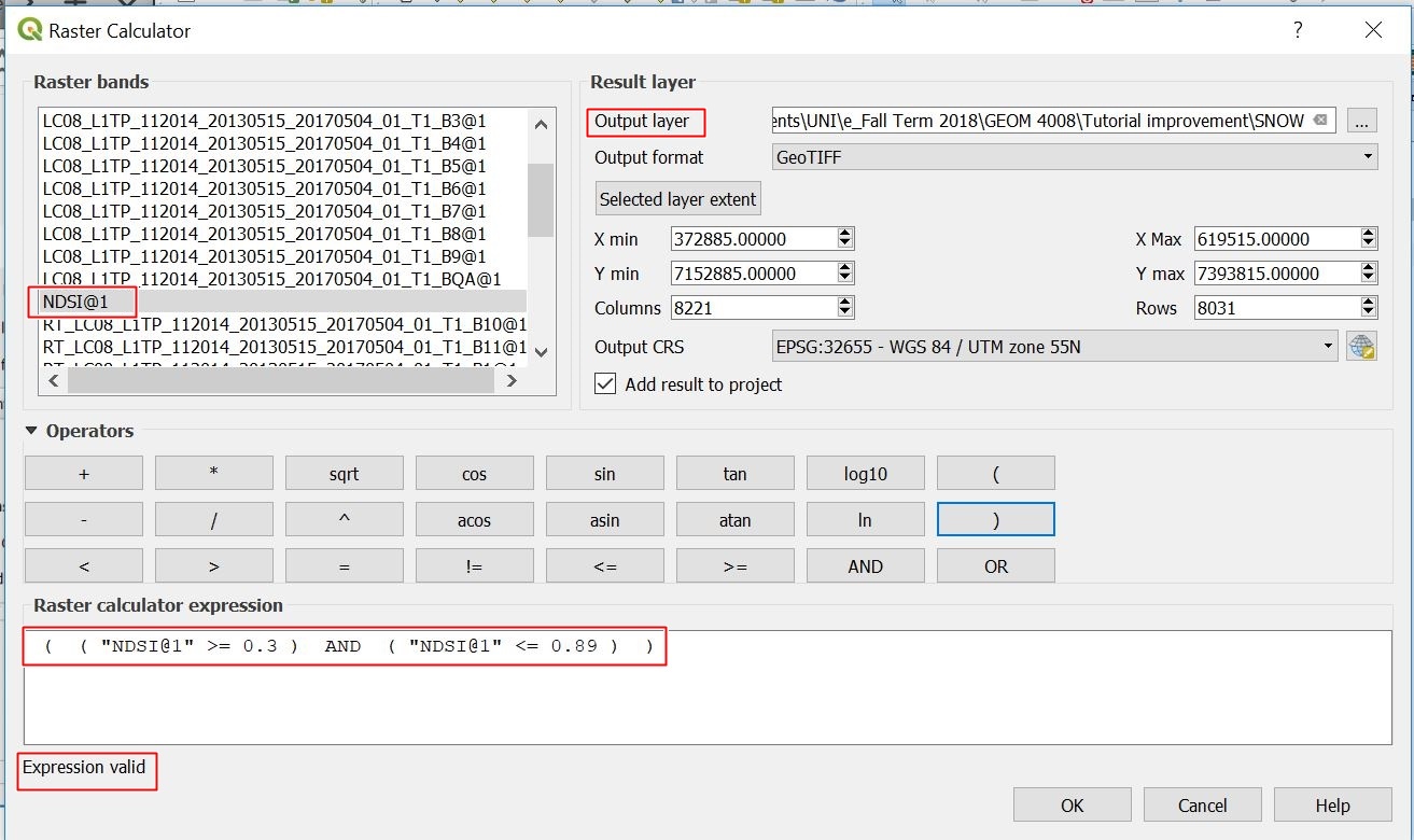
| 10:50, 4 October 2018 | Calculate NDSI.JPG (file) |  |
314 KB | Helenabck | 2 | |
| 19:38, 3 October 2018 | GUID-79A52787-181E-4AF3-8E26-A4A2E7E11FAC-web.gif (file) |  |
78 KB | Jonathanpierre | 1 | |
| 19:36, 3 October 2018 | GUID-7A915DDE-DF6C-4FEF-AC1B-C1AED1A1BACB-web.gif (file) |  |
8 KB | Jonathanpierre | 1 | |
| 19:31, 3 October 2018 | DATUM.jpg (file) |  |
8 KB | Jonathanpierre | 1 | |
| 19:30, 3 October 2018 | Gcs.gif (file) |  |
43 KB | Jonathanpierre | 1 | |
| 19:28, 3 October 2018 | Georeferencing-concept2.gif (file) |  |
38 KB | Jonathanpierre | 1 | |
| 19:21, 3 October 2018 | GraticuleIntersection.png (file) |  |
272 KB | Jonathanpierre | 1 | |
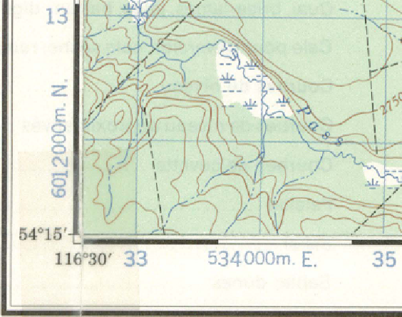
| 17:25, 3 October 2018 | Historical map.png (file) |  |
1.35 MB | Jonathanpierre | 1 | |
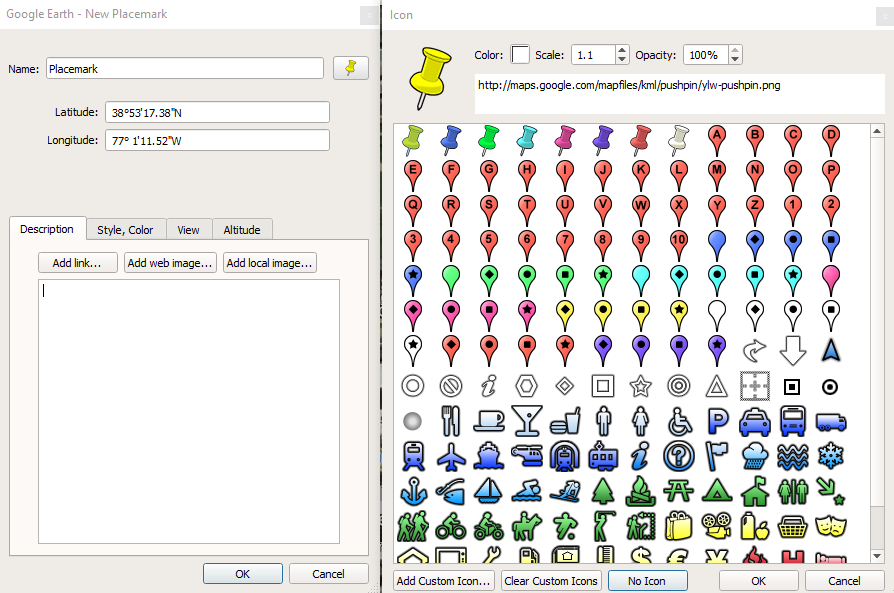
| 17:09, 3 October 2018 | Placemark.PNG (file) |  |
145 KB | Jonathanpierre | 1 | |
| 17:08, 3 October 2018 | Placemarks.PNG (file) |  |
1.25 MB | Jonathanpierre | Reverted to version as of 04:35, 20 December 2017 (EST) | 3 |
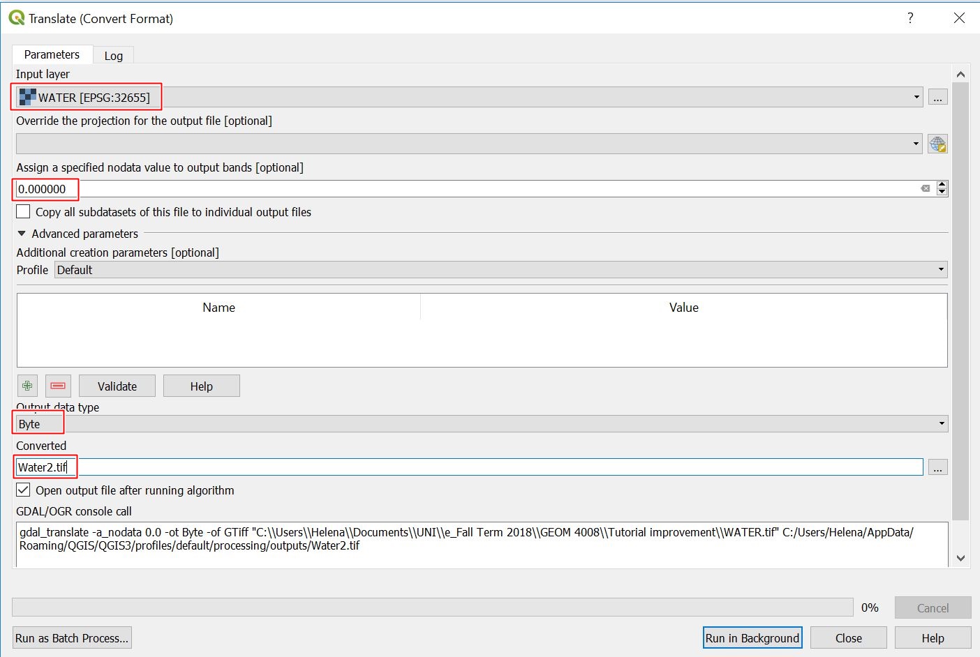
| 16:50, 3 October 2018 | ConvertWater.JPG (file) |  |
227 KB | Helenabck | 1 | |
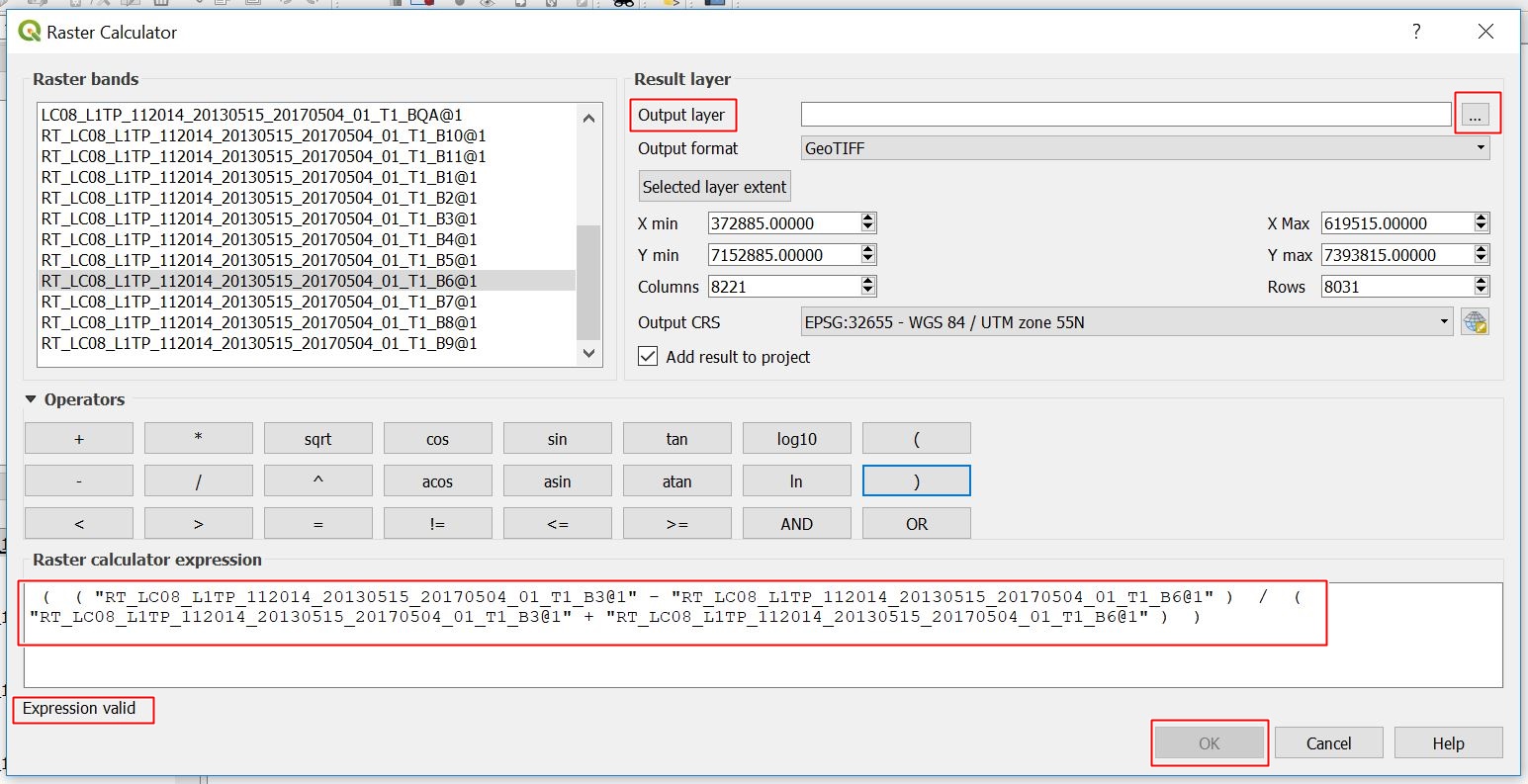
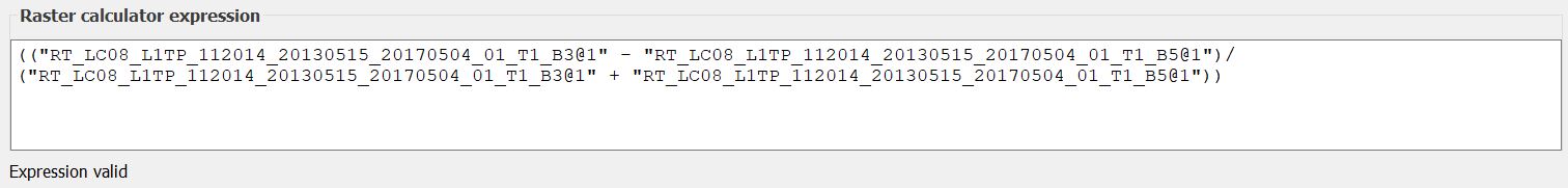
| 16:49, 3 October 2018 | Calculate NDWI2.JPG (file) | 44 KB | Helenabck | 1 | ||
| 16:44, 3 October 2018 | Googleearth.png (file) |  |
168 KB | Jonathanpierre | 1 | |
| 16:37, 3 October 2018 | Google earth.png (file) |  |
3 KB | Jonathanpierre | 1 | |
| 16:06, 3 October 2018 | Slope annot.PNG (file) |  |
284 KB | Pgoszt | 1 | |
| 15:58, 3 October 2018 | Map with point shapes.PNG (file) |  |
46 KB | Pgoszt | 1 | |
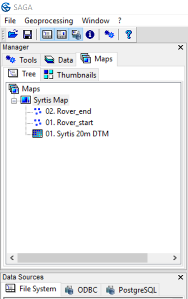
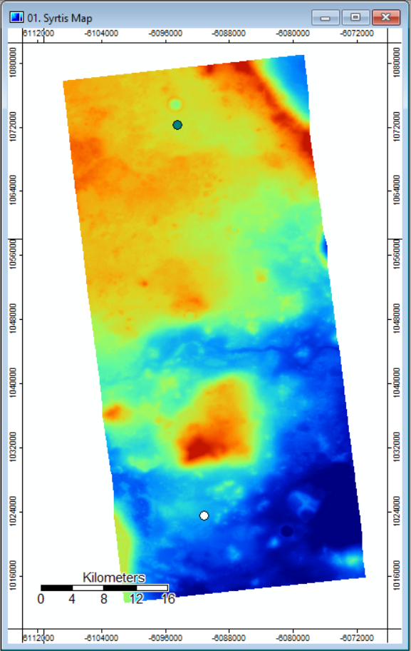
| 15:56, 3 October 2018 | Map start end points.PNG (file) |  |
414 KB | Pgoszt | 1 | |
| 15:53, 3 October 2018 | Maps start end points.PNG (file) |  |
414 KB | Pgoszt | 1 | |
| 15:48, 3 October 2018 | Named grid and system annot.PNG (file) |  |
57 KB | Pgoszt | 1 | |
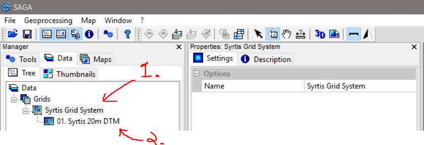
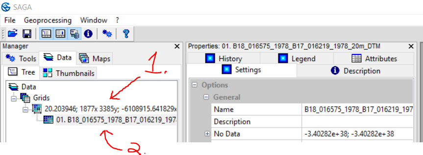
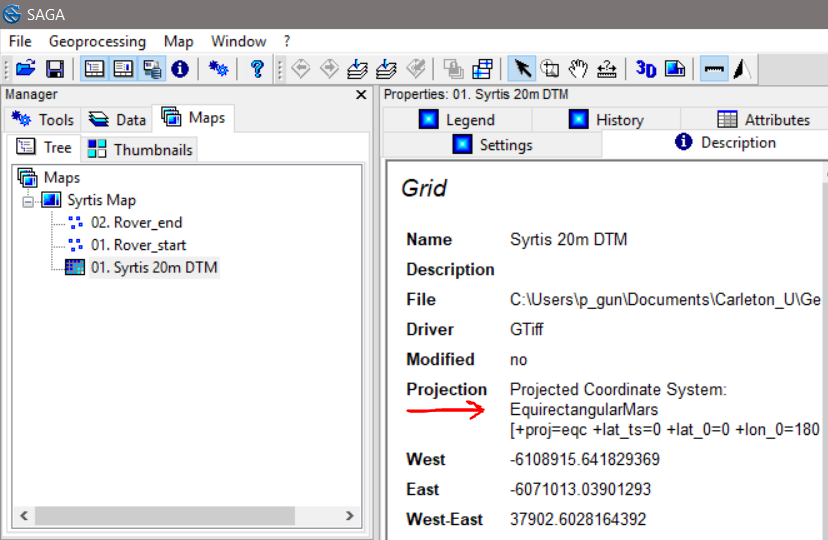
| 15:36, 3 October 2018 | Rename dtm grid and system anott.PNG (file) |  |
75 KB | Pgoszt | 1 | |
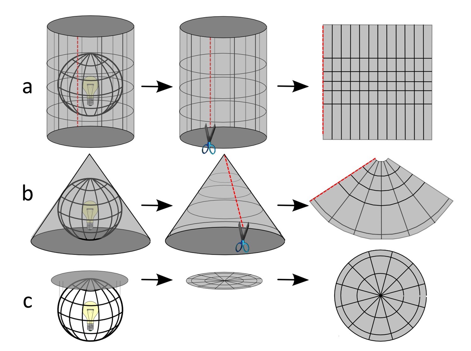
| 14:55, 3 October 2018 | Projections.jpg (file) |  |
223 KB | Jonathanpierre | 1 | |
| 14:02, 3 October 2018 | SAGAcapabilities.jpg (file) |  |
344 KB | Jonathanpierre | 1 | |
| 13:58, 3 October 2018 | Maprojections1.jpg (file) |  |
84 KB | Jonathanpierre | 1 | |
| 13:28, 3 October 2018 | Head saga title.png (file) | 5 KB | Jonathanpierre | System for Automated Geoscientific Analyses | 1 | |
| 13:26, 3 October 2018 | Logo saga big.png (file) |  |
4 KB | Jonathanpierre | Logo of SAGA GIS | 1 |
| 13:20, 3 October 2018 | Projection annoted.PNG (file) |  |
114 KB | Pgoszt | 1 | |
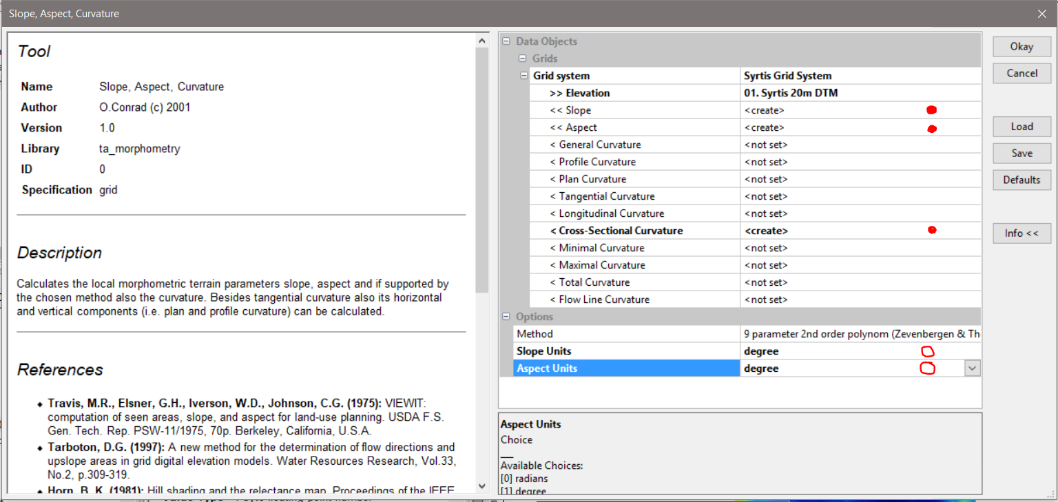
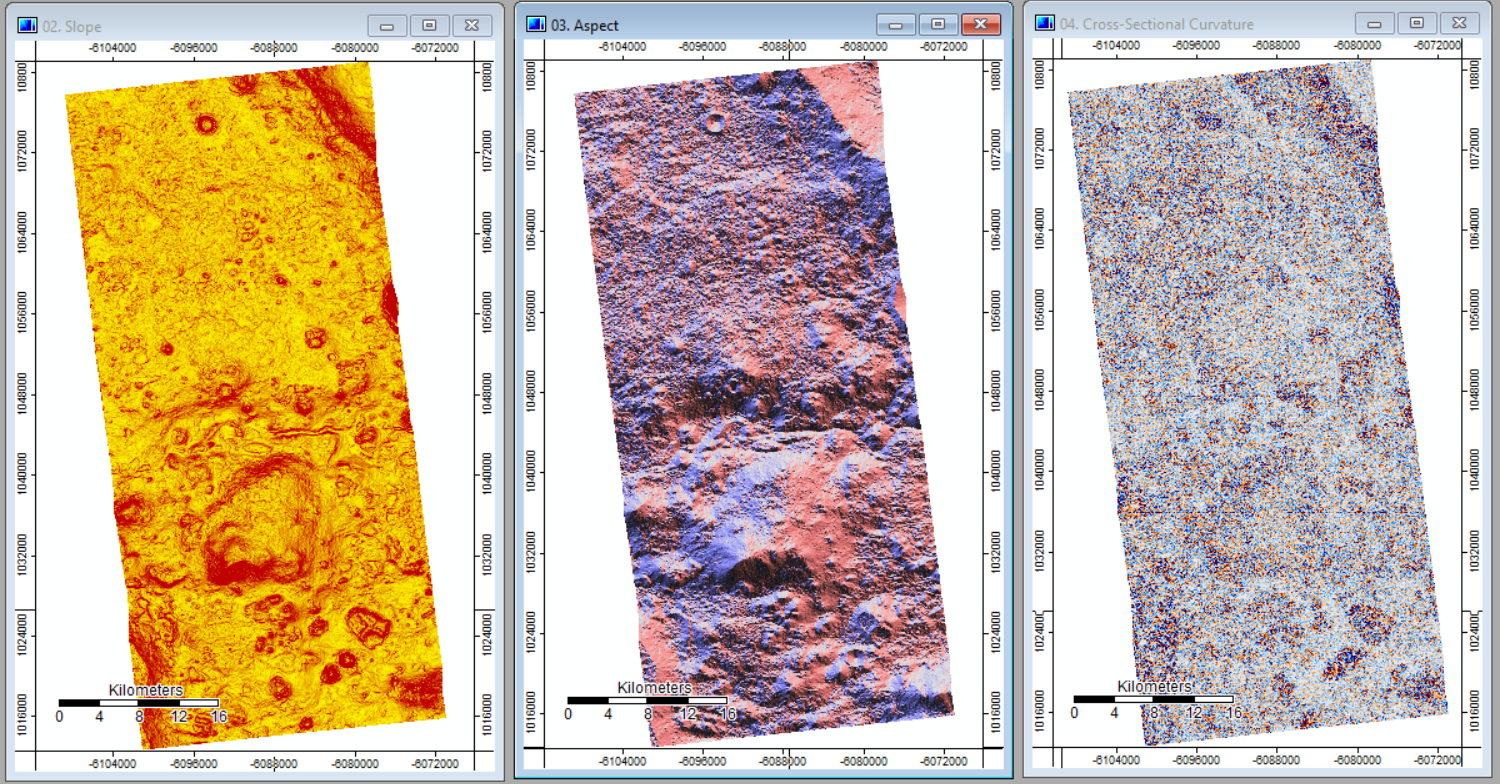
| 13:14, 3 October 2018 | Slope aspect curve output side by side.PNG (file) |  |
1.79 MB | Pgoszt | 1 | |
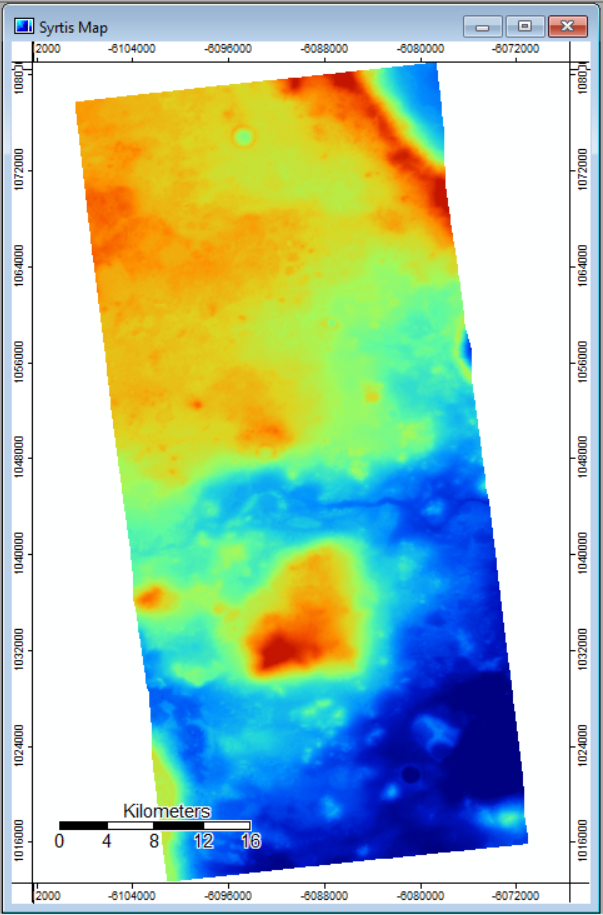
| 13:12, 3 October 2018 | Map with DTM imported.PNG (file) |  |
456 KB | Pgoszt | 2 | |
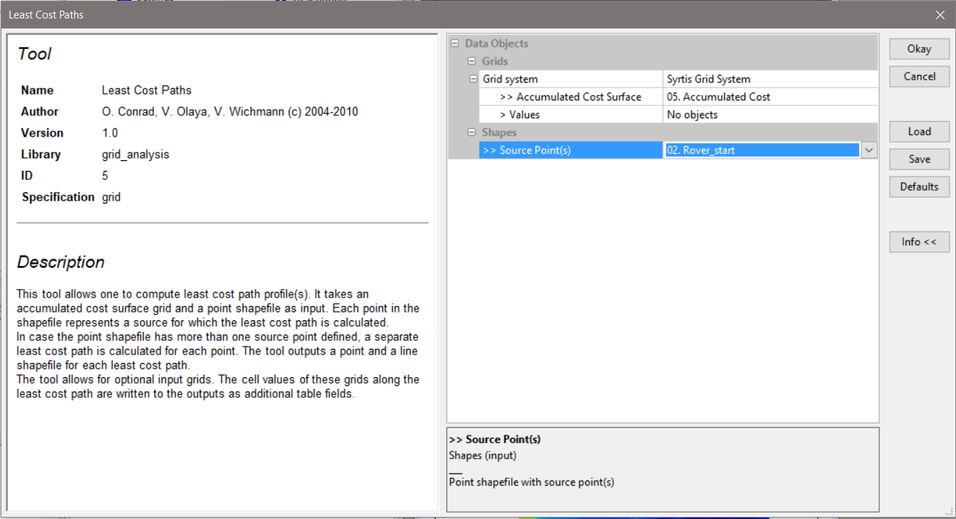
| 13:05, 3 October 2018 | Least cost path tool options.PNG (file) |  |
154 KB | Pgoszt | 1 | |
| 13:05, 3 October 2018 | Finished creating shapes.PNG (file) |  |
52 KB | Pgoszt | 1 | |
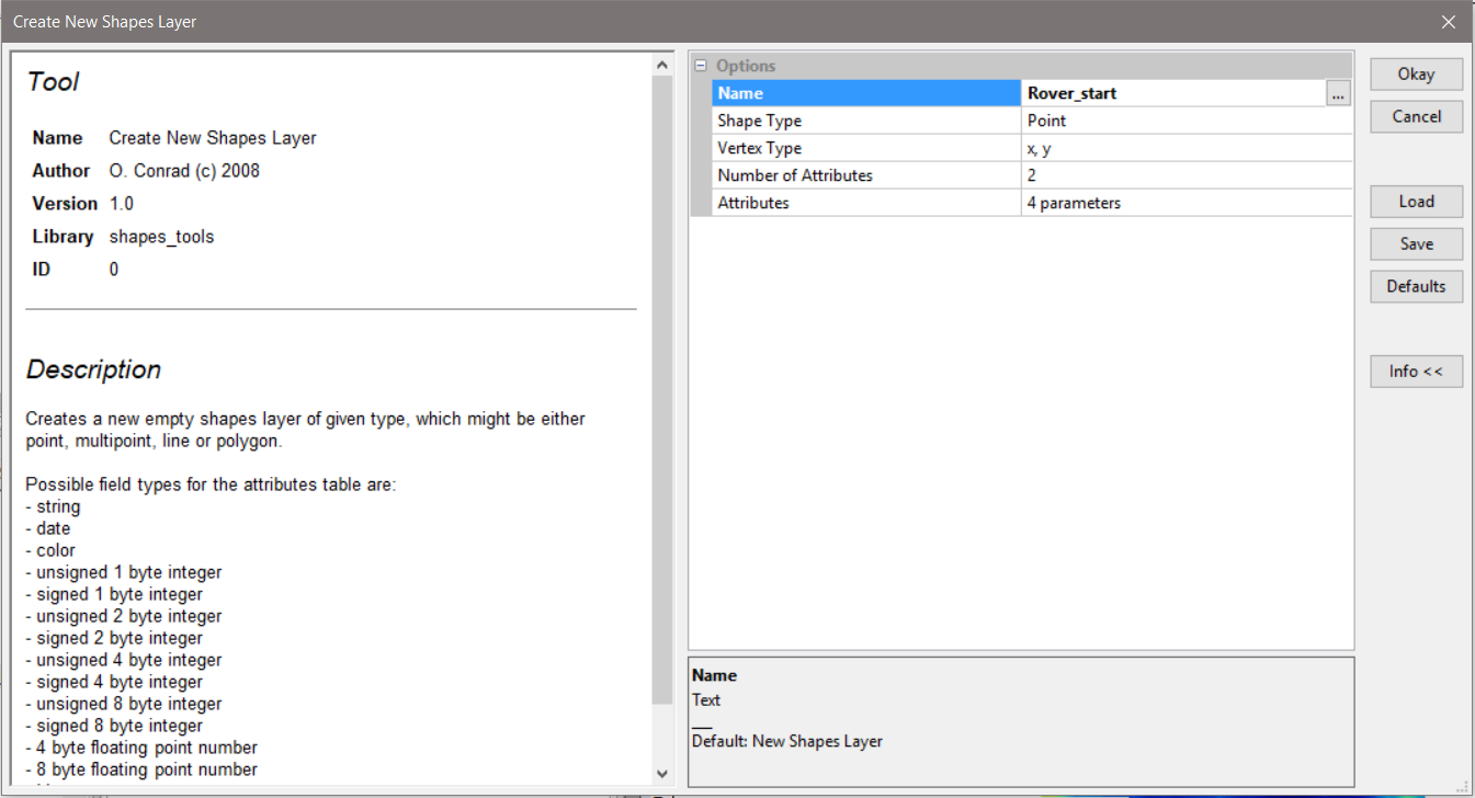
| 13:05, 3 October 2018 | Create point layer Rover start.PNG (file) |  |
135 KB | Pgoszt | 1 | |
| 13:02, 3 October 2018 | Add points action tool.PNG (file) |  |
113 KB | Pgoszt | 1 | |
| 08:21, 3 October 2018 | RasterSymbol.jpg (file) |  |
1 KB | Helenabck | 1 | |
| 08:15, 3 October 2018 | RasterSymbol.PNG (file) |  |
6 KB | Helenabck | 1 | |
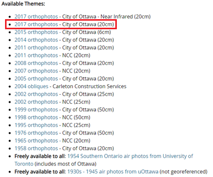
| 20:36, 30 September 2018 | Ortho Image Location.png (file) |  |
82 KB | Robezac2 | Shows user where to get the ortho image from the carleton website linked in the "Data" section. | 1 |
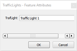
| 20:29, 30 September 2018 | Naming Point Window.png (file) |  |
4 KB | Robezac2 | Naming Point window. | 1 |
| 20:26, 30 September 2018 | Create Point.png (file) |  |
1,004 bytes | Robezac2 | Create Point button. | 1 |
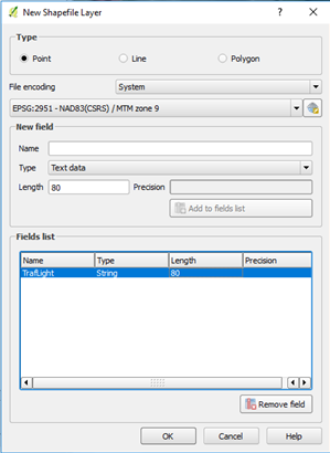
| 20:23, 30 September 2018 | New SHP Layer - Point.png (file) |  |
33 KB | Robezac2 | Image of new SHP layer wizard for Points. | 1 |