File list
From CUOSGwiki
Jump to navigationJump to searchThis special page shows all uploaded files.
| Date | Name | Thumbnail | Size | User | Description | Versions |
|---|---|---|---|---|---|---|
| 14:52, 20 October 2017 | Create map code 2.png (file) |  |
71 KB | Elenilatsis | 1 | |
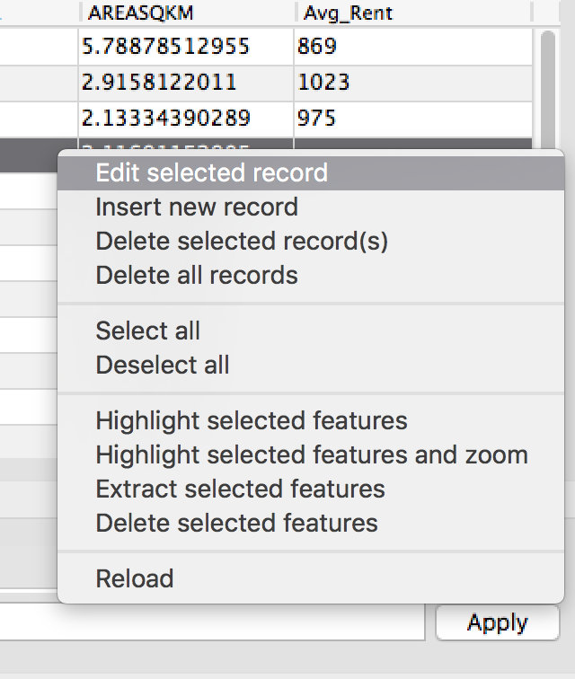
| 14:48, 20 October 2017 | Edit selected record.png (file) |  |
115 KB | Elenilatsis | 1 | |
| 14:44, 20 October 2017 | Add column tool.png (file) |  |
346 KB | Elenilatsis | 1 | |
| 14:35, 20 October 2017 | Screen Shot 2017-10-20 at 10.35.17 am.png (file) |  |
111 KB | Elenilatsis | 1 | |
| 14:33, 20 October 2017 | Screen Shot 2017-10-20 at 10.31.09 am.png (file) | 46 KB | Elenilatsis | 1 | ||
| 14:32, 20 October 2017 | Screen Shot 2017-10-20 at 10.30.59 am.png (file) |  |
6 KB | Elenilatsis | 1 | |
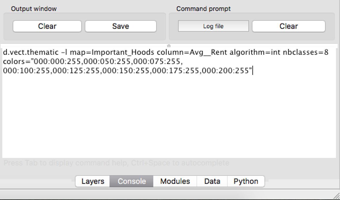
| 14:27, 20 October 2017 | Create map code.png (file) |  |
136 KB | Elenilatsis | 1 | |
| 14:17, 20 October 2017 | Clean.png (file) |  |
105 KB | Elenilatsis | 1 | |
| 14:12, 20 October 2017 | Clean vector map.png (file) |  |
337 KB | Elenilatsis | 1 | |
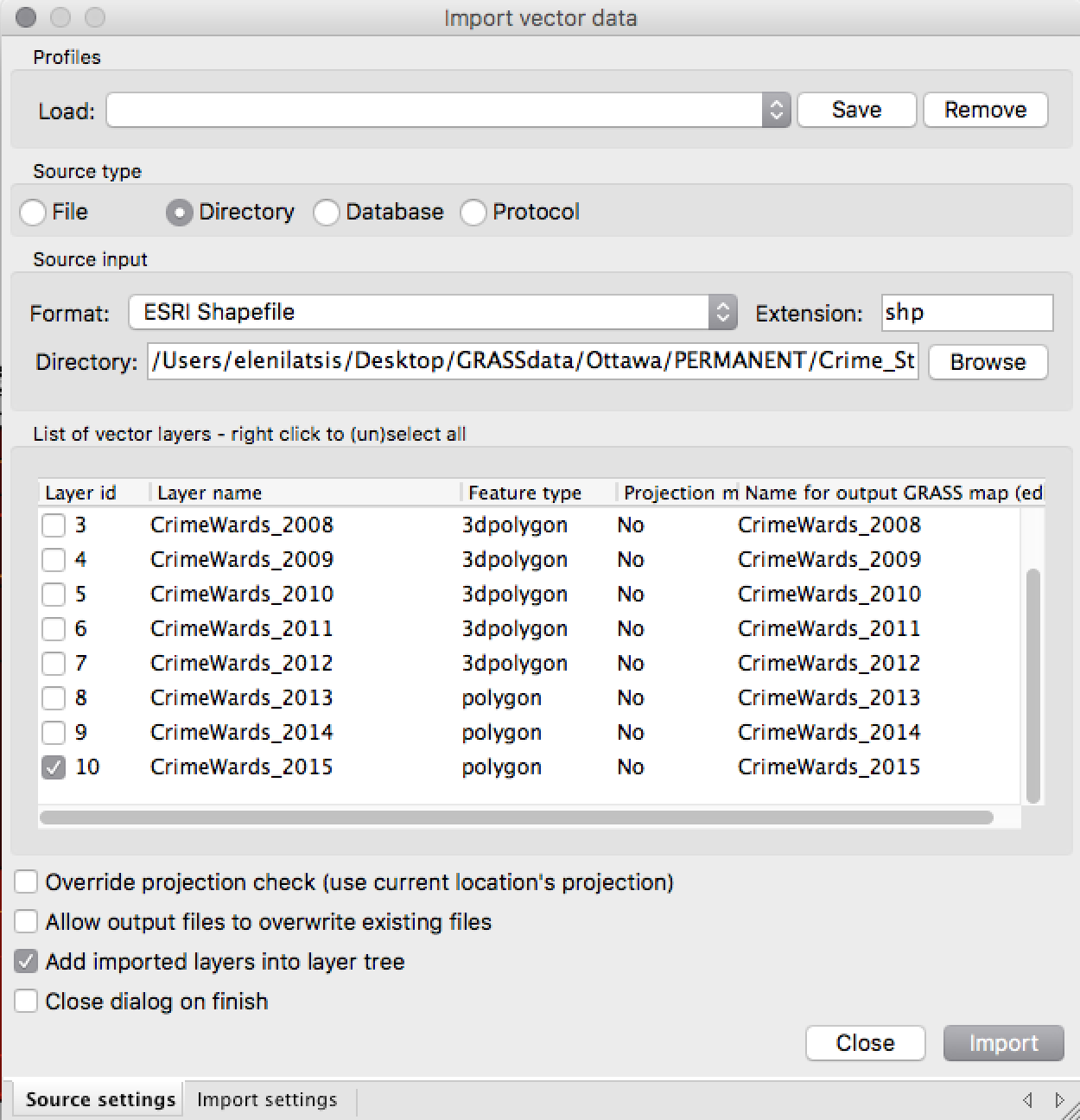
| 13:55, 20 October 2017 | Crime wards import.png (file) |  |
181 KB | Elenilatsis | 1 | |
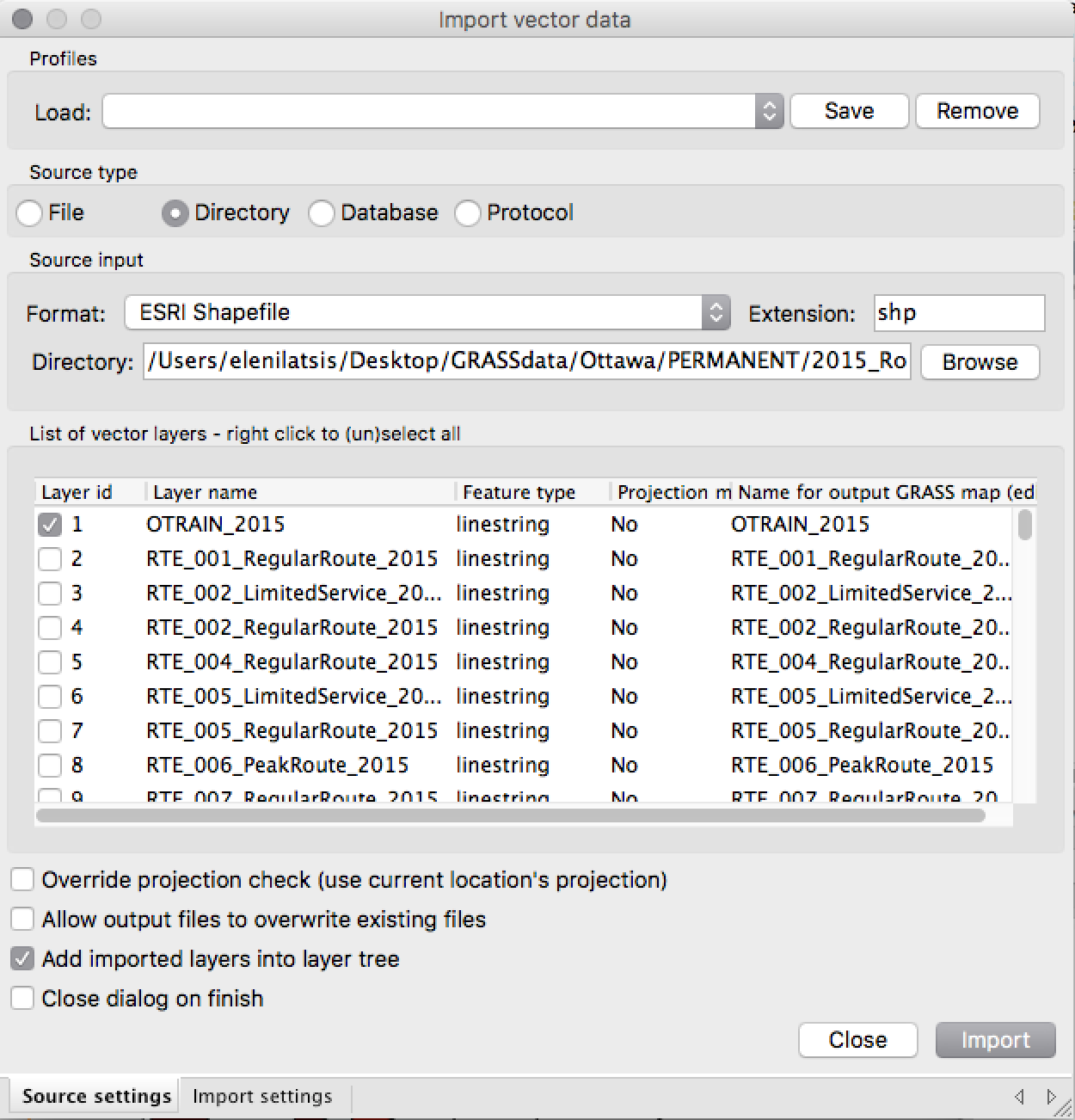
| 13:39, 20 October 2017 | Bus route import.png (file) |  |
193 KB | Elenilatsis | 1 | |
| 03:08, 20 October 2017 | Workingrcolours.PNG (file) |  |
14 KB | AshleyF | 1 | |
| 03:07, 20 October 2017 | Watershed2.PNG (file) |  |
16 KB | AshleyF | 1 | |
| 03:07, 20 October 2017 | Watershed1.PNG (file) |  |
21 KB | AshleyF | 1 | |
| 03:07, 20 October 2017 | Uploadingtool.png (file) |  |
385 KB | AshleyF | 1 | |
| 03:07, 20 October 2017 | Slopeopen2.PNG (file) |  |
23 KB | AshleyF | 1 | |
| 03:06, 20 October 2017 | Slopeopen.PNG (file) |  |
15 KB | AshleyF | 1 | |
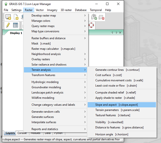
| 03:06, 20 October 2017 | Slope aspect.png (file) |  |
72 KB | AshleyF | 1 | |
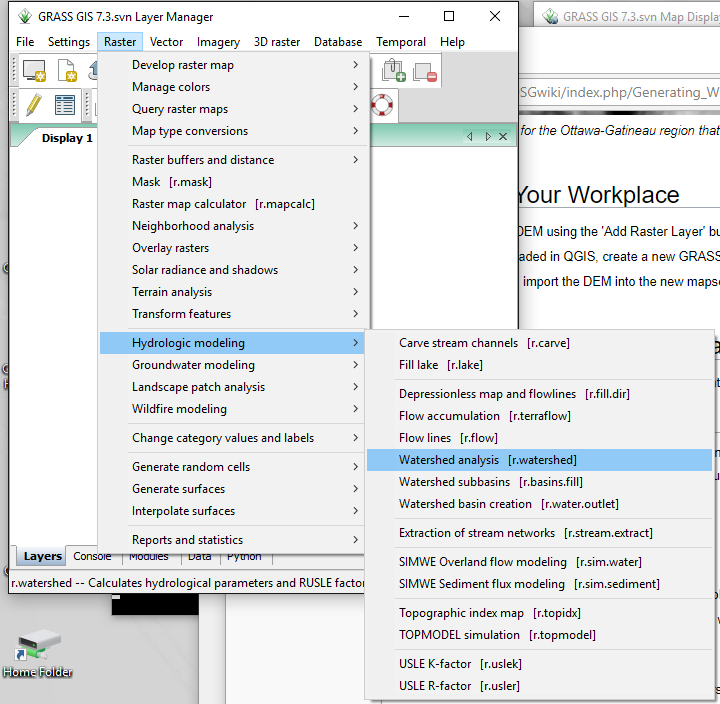
| 03:06, 20 October 2017 | Rwatershed.png (file) |  |
62 KB | AshleyF | 1 | |
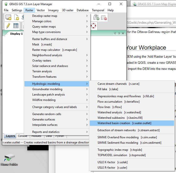
| 03:05, 20 October 2017 | Rwateroutlet.png (file) |  |
62 KB | AshleyF | 1 | |
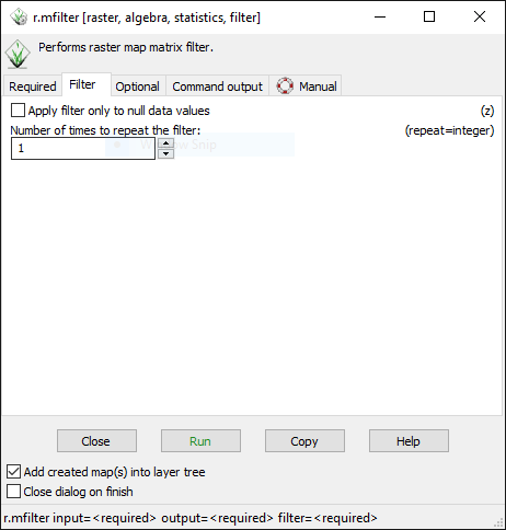
| 03:05, 20 October 2017 | Mfilter2.PNG (file) |  |
14 KB | AshleyF | 1 | |
| 03:04, 20 October 2017 | Mfilter1.PNG (file) |  |
16 KB | AshleyF | 1 | |
| 03:04, 20 October 2017 | MapcalcAF.PNG (file) |  |
17 KB | AshleyF | 1 | |
| 03:04, 20 October 2017 | Findingrmfilter.png (file) |  |
101 KB | AshleyF | 1 | |
| 03:03, 20 October 2017 | Findingrinfo.png (file) |  |
157 KB | AshleyF | 1 | |
| 03:03, 20 October 2017 | Findingrcolours.png (file) |  |
39 KB | AshleyF | 1 | |
| 03:00, 20 October 2017 | Findingmapcalc.png (file) |  |
29 KB | AshleyF | 1 | |
| 01:45, 20 October 2017 | Importvectordata.png (file) |  |
636 KB | Elenilatsis | 1 | |
| 20:14, 18 October 2017 | QGIStitle.PNG (file) |  |
15 KB | Kaylacharette | 1 | |
| 20:13, 18 October 2017 | Arcmaptitle.jpg (file) |  |
14 KB | Kaylacharette | 1 | |
| 00:58, 15 October 2017 | Map2.png (file) |  |
430 KB | Melmac10 | 1 | |
| 00:56, 15 October 2017 | Northarrow.PNG (file) |  |
29 KB | Melmac10 | 1 | |
| 00:56, 15 October 2017 | Scale.PNG (file) |  |
14 KB | Melmac10 | 1 | |
| 00:55, 15 October 2017 | SelectedLayers.PNG (file) |  |
11 KB | Melmac10 | 1 | |
| 00:55, 15 October 2017 | BufferandClip.PNG (file) |  |
231 KB | Melmac10 | 1 | |
| 00:54, 15 October 2017 | RailwayAccidents.PNG (file) |  |
12 KB | Melmac10 | 1 | |
| 00:53, 15 October 2017 | Accidentsrailway.PNG (file) |  |
228 KB | Melmac10 | 1 | |
| 00:53, 15 October 2017 | AccidentsBarrhaven.PNG (file) |  |
12 KB | Melmac10 | 1 | |
| 00:51, 15 October 2017 | BufferMelinda.PNG (file) |  |
15 KB | Melmac10 | 1 | |
| 00:51, 15 October 2017 | SingleVehAcc.PNG (file) |  |
51 KB | Melmac10 | 1 | |
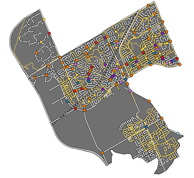
| 00:50, 15 October 2017 | BarrhavenClipped.PNG (file) |  |
240 KB | Melmac10 | 1 | |
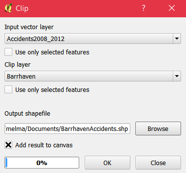
| 00:50, 15 October 2017 | Clipping.PNG (file) |  |
12 KB | Melmac10 | 1 | |
| 00:49, 15 October 2017 | Barrhaven.PNG (file) |  |
139 KB | Melmac10 | 1 | |
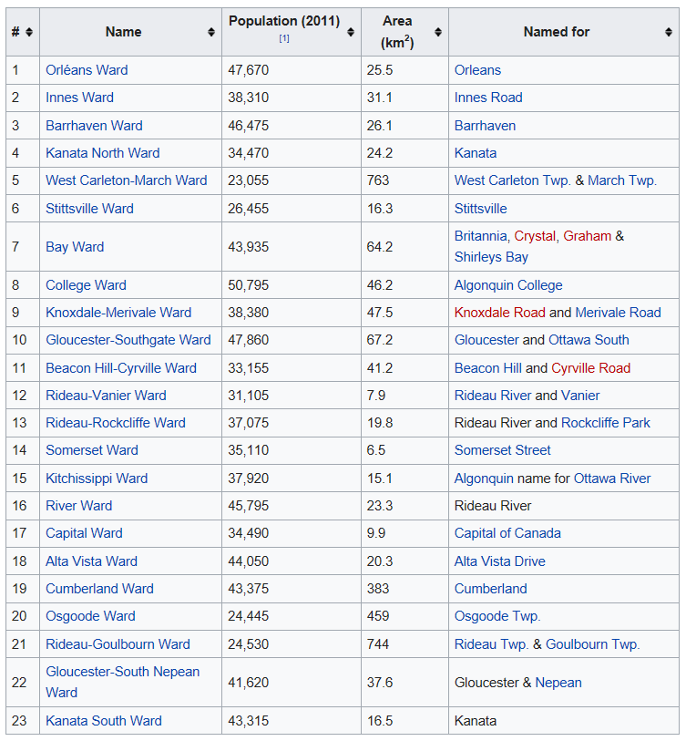
| 00:49, 15 October 2017 | WARDS.PNG (file) |  |
84 KB | Melmac10 | 1 | |
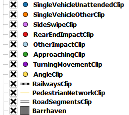
| 00:48, 15 October 2017 | AccidentTypes.PNG (file) |  |
350 KB | Melmac10 | 1 | |
| 00:47, 15 October 2017 | ImpactTypeAngle.PNG (file) |  |
112 KB | Melmac10 | 1 | |
| 00:46, 15 October 2017 | SelectionExpression.PNG (file) |  |
41 KB | Melmac10 | 1 | |
| 00:46, 15 October 2017 | ColouredLayers.PNG (file) |  |
342 KB | Melmac10 | 1 | |
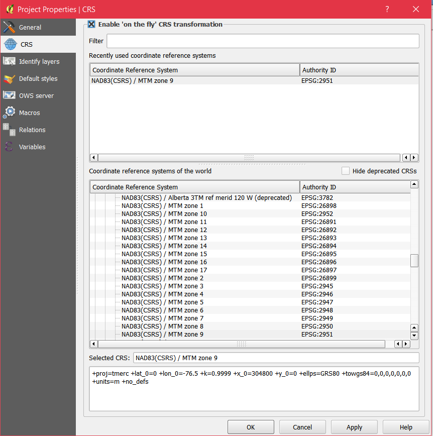
| 00:45, 15 October 2017 | CRS.PNG (file) |  |
69 KB | Melmac10 | 1 | |
| 19:41, 14 October 2017 | Demo1.png (file) |  |
64 KB | RafSey | 1 |