File list
From CUOSGwiki
Jump to navigationJump to searchThis special page shows all uploaded files.
| Date | Name | Thumbnail | Size | User | Description | Versions |
|---|---|---|---|---|---|---|
| 01:06, 16 December 2012 | AddColumn.png (file) |  |
1 KB | Katiefeltz | 1 | |
| 23:02, 14 December 2012 | Hut.gif (file) |  |
333 KB | Katiefeltz | 1 | |
| 22:55, 14 December 2012 | Waves.gif (file) |  |
499 KB | Katiefeltz | 1 | |
| 22:42, 14 December 2012 | Setrisesun.gif (file) |  |
466 KB | Katiefeltz | 1 | |
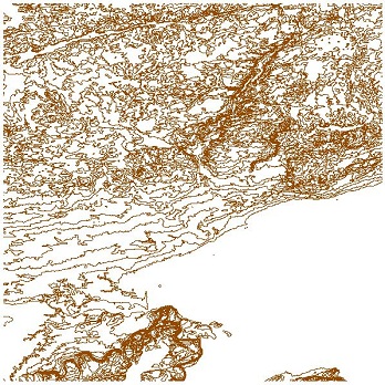
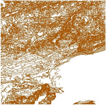
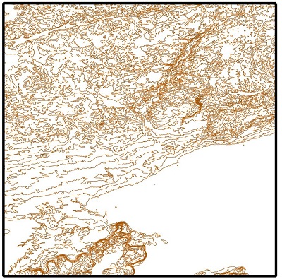
| 19:08, 14 December 2012 | GRASS Contour 50.jpg (file) |  |
78 KB | Grahamrathwell | 2 | |
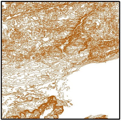
| 19:08, 14 December 2012 | GRASS Contour 20.jpg (file) |  |
101 KB | Grahamrathwell | 2 | |
| 19:08, 14 December 2012 | GRASS Contour 10.jpg (file) |  |
107 KB | Grahamrathwell | 2 | |
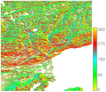
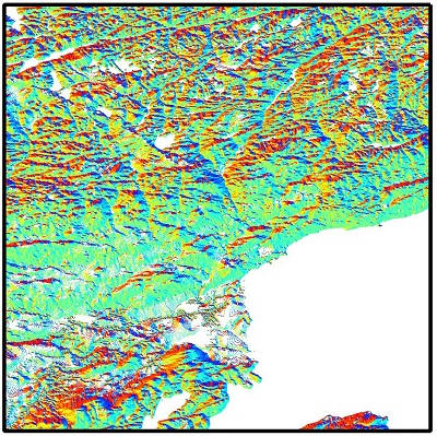
| 18:32, 14 December 2012 | GRASS Aspect.jpg (file) |  |
86 KB | Grahamrathwell | 2 | |
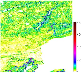
| 18:31, 14 December 2012 | GRASS Slope.jpg (file) |  |
82 KB | Grahamrathwell | 2 | |
| 18:20, 14 December 2012 | DEM 400.jpg (file) |  |
68 KB | Grahamrathwell | 1 | |
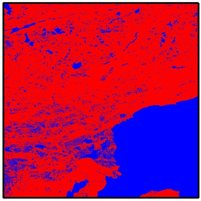
| 18:18, 14 December 2012 | Roads clipped.jpg (file) |  |
64 KB | Grahamrathwell | 4 | |
| 18:15, 14 December 2012 | GRASS Recoloured.jpg (file) |  |
67 KB | Grahamrathwell | 1 | |
| 17:35, 14 December 2012 | GRASS reference.jpg (file) |  |
71 KB | Grahamrathwell | 1 | |
| 17:30, 14 December 2012 | GRASS import.jpg (file) |  |
52 KB | Grahamrathwell | 1 | |
| 17:19, 14 December 2012 | GRASS Browse.jpg (file) |  |
80 KB | Grahamrathwell | 1 | |
| 16:30, 14 December 2012 | GRASS folder.jpg (file) |  |
39 KB | Grahamrathwell | 3 | |
| 04:46, 14 December 2012 | Contour 50m.jpg (file) |  |
88 KB | Grahamrathwell | 1 | |
| 04:46, 14 December 2012 | Contour 20m.jpg (file) |  |
114 KB | Grahamrathwell | 1 | |
| 04:46, 14 December 2012 | Contour 10m.jpg (file) |  |
128 KB | Grahamrathwell | 1 | |
| 03:06, 14 December 2012 | Slope Map.jpg (file) |  |
87 KB | Grahamrathwell | 1 | |
| 02:15, 14 December 2012 | Aspect Map.jpg (file) |  |
143 KB | Grahamrathwell | 1 | |
| 21:46, 13 December 2012 | Wolf3.png (file) |  |
481 KB | Rexalie | 1 | |
| 18:11, 13 December 2012 | AOIMap.jpg (file) |  |
19 KB | Grahamrathwell | 2 | |
| 00:21, 13 December 2012 | Save.jpg (file) |  |
8 KB | Grahamrathwell | 1 | |
| 23:43, 12 December 2012 | NodeTool.jpg (file) |  |
8 KB | Grahamrathwell | 1 | |
| 23:07, 12 December 2012 | AddFeature.jpg (file) |  |
9 KB | Grahamrathwell | 1 | |
| 22:51, 12 December 2012 | NewShapefile.jpg (file) |  |
8 KB | Grahamrathwell | 1 | |
| 22:36, 12 December 2012 | OntarioRoads.jpg (file) |  |
62 KB | Grahamrathwell | 2 | |
| 22:26, 12 December 2012 | ZoomToExent.jpg (file) |  |
44 KB | Grahamrathwell | 1 | |
| 22:19, 12 December 2012 | Add Vector.jpg (file) |  |
9 KB | Grahamrathwell | 1 | |
| 21:36, 12 December 2012 | Merged Map.jpg (file) |  |
74 KB | Grahamrathwell | 3 | |
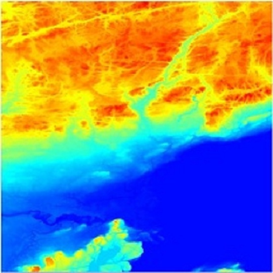
| 21:28, 12 December 2012 | Merged DEM.jpg (file) |  |
82 KB | Grahamrathwell | 1 | |
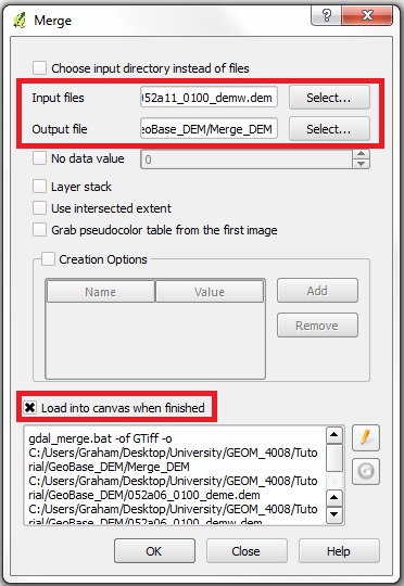
| 21:24, 12 December 2012 | Merge DEM.jpg (file) |  |
55 KB | Grahamrathwell | Reverted to version as of 21:23, 12 December 2012 | 5 |
| 18:58, 12 December 2012 | Greywolf.jpg (file) |  |
123 KB | Rexalie | 1 | |
| 12:26, 12 December 2012 | Animation.gif (file) |  |
22 KB | Rexalie | 1 | |
| 03:27, 12 December 2012 | DEM Pseudocolour.jpg (file) |  |
31 KB | Grahamrathwell | 1 | |
| 03:02, 12 December 2012 | DEM Greyscale.jpg (file) |  |
23 KB | Grahamrathwell | 1 | |
| 02:57, 12 December 2012 | TOC.jpg (file) |  |
20 KB | Grahamrathwell | 1 | |
| 02:48, 12 December 2012 | DEM Grey.jpg (file) |  |
10 KB | Grahamrathwell | 2 | |
| 02:42, 12 December 2012 | RastersToAdd.jpg (file) |  |
12 KB | Grahamrathwell | 1 | |
| 02:38, 12 December 2012 | AddRaster.jpg (file) |  |
8 KB | Grahamrathwell | 1 | |
| 21:57, 11 December 2012 | Qgis-icon.png (file) | 19 KB | Grahamrathwell | 6 | ||
| 21:47, 11 December 2012 | Grass.png (file) |  |
9 KB | Grahamrathwell | 2 | |
| 23:42, 10 December 2012 | London2buffer.jpg (file) |  |
65 KB | Mattjudd | A 2 degrees of longitude/latidude buffer extending from London England to allow for transportation evaluation. | 1 |
| 22:33, 10 December 2012 | Offshorewells.JPG (file) |  |
86 KB | Mattjudd | Wells data after differce analysis is performed | 1 |
| 21:39, 10 December 2012 | Originaldatamap2.JPG (file) |  |
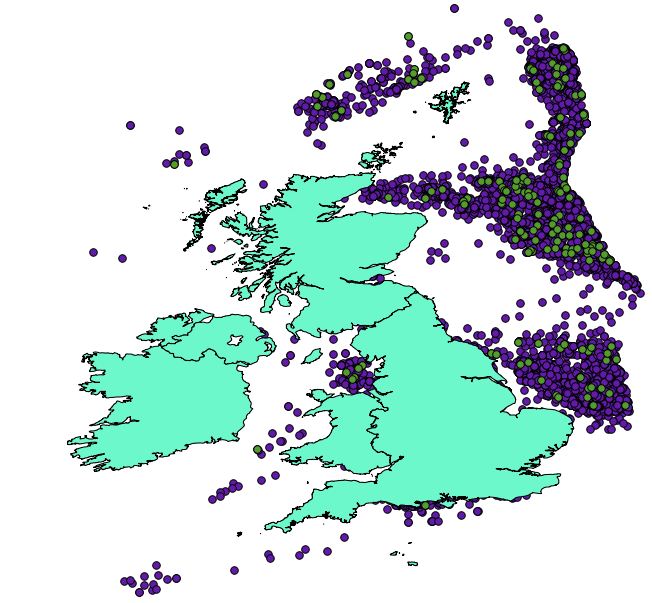
87 KB | Mattjudd | Coastline, wells and signifcant wells data imported into Quantuam GIS. | 1 |
| 21:21, 10 December 2012 | Originaldatamap.JPG (file) |  |
79 KB | Mattjudd | Coastline, wells and signifcant wells data imported into Quantuam GIS. | 1 |
| 20:33, 10 December 2012 | Directory download paint.jpg (file) |  |
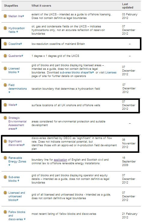
118 KB | Mattjudd | Department of Energy and Climate Change, OFFSHORE MAPS AND GIS SHAPEFILES Directory | 1 |
| 22:09, 8 December 2012 | QGIS download.JPG (file) |  |
12 KB | Mattjudd | Free Download Link. Available in Windows, Linux, Mac, Android and numerous other formats. | 1 |
| 22:00, 8 December 2012 | Capture.JPG (file) |  |
18 KB | Mattjudd | Agip Oil logo | 1 |