File:QGIS Map.png
From CUOSGwiki
Revision as of 23:52, 28 September 2023 by Ethan McLaughlin (talk | contribs) (Ethan McLaughlin reverted File:QGIS Map.png to an old version)
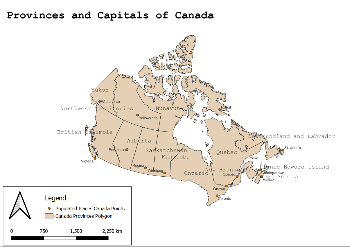
Size of this preview: 800 × 566 pixels. Other resolutions: 320 × 227 pixels | 1,205 × 853 pixels.
Original file (1,205 × 853 pixels, file size: 154 KB, MIME type: image/png)
File history
Click on a date/time to view the file as it appeared at that time.
| Date/Time | Thumbnail | Dimensions | User | Comment | |
|---|---|---|---|---|---|
| current | 23:54, 28 September 2023 | | 1,205 × 853 (154 KB) | Ethan McLaughlin (talk | contribs) | Reverted to version as of 00:51, 29 September 2023 (EDT) |
| 23:52, 28 September 2023 | 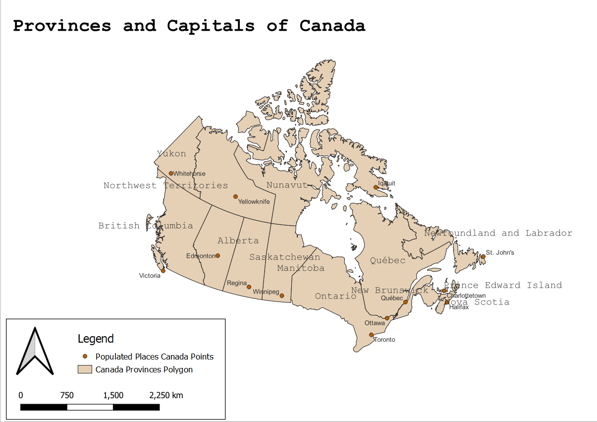 | 1,205 × 851 (154 KB) | Ethan McLaughlin (talk | contribs) | Reverted to version as of 19:37, 28 September 2023 (EDT) | |
| 23:51, 28 September 2023 |  | 1,205 × 853 (154 KB) | Ethan McLaughlin (talk | contribs) | ||
| 18:37, 28 September 2023 |  | 1,205 × 851 (154 KB) | Ethan McLaughlin (talk | contribs) |
You cannot overwrite this file.
File usage
There are no pages that use this file.