File:Schools Map.png
From CUOSGwiki
Revision as of 12:06, 26 November 2025 by IanShintani (talk | contribs)
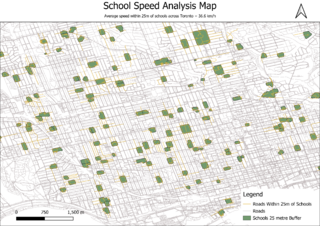
Size of this preview: 800 × 566 pixels. Other resolutions: 320 × 226 pixels | 3,507 × 2,480 pixels.
Original file (3,507 × 2,480 pixels, file size: 908 KB, MIME type: image/png)
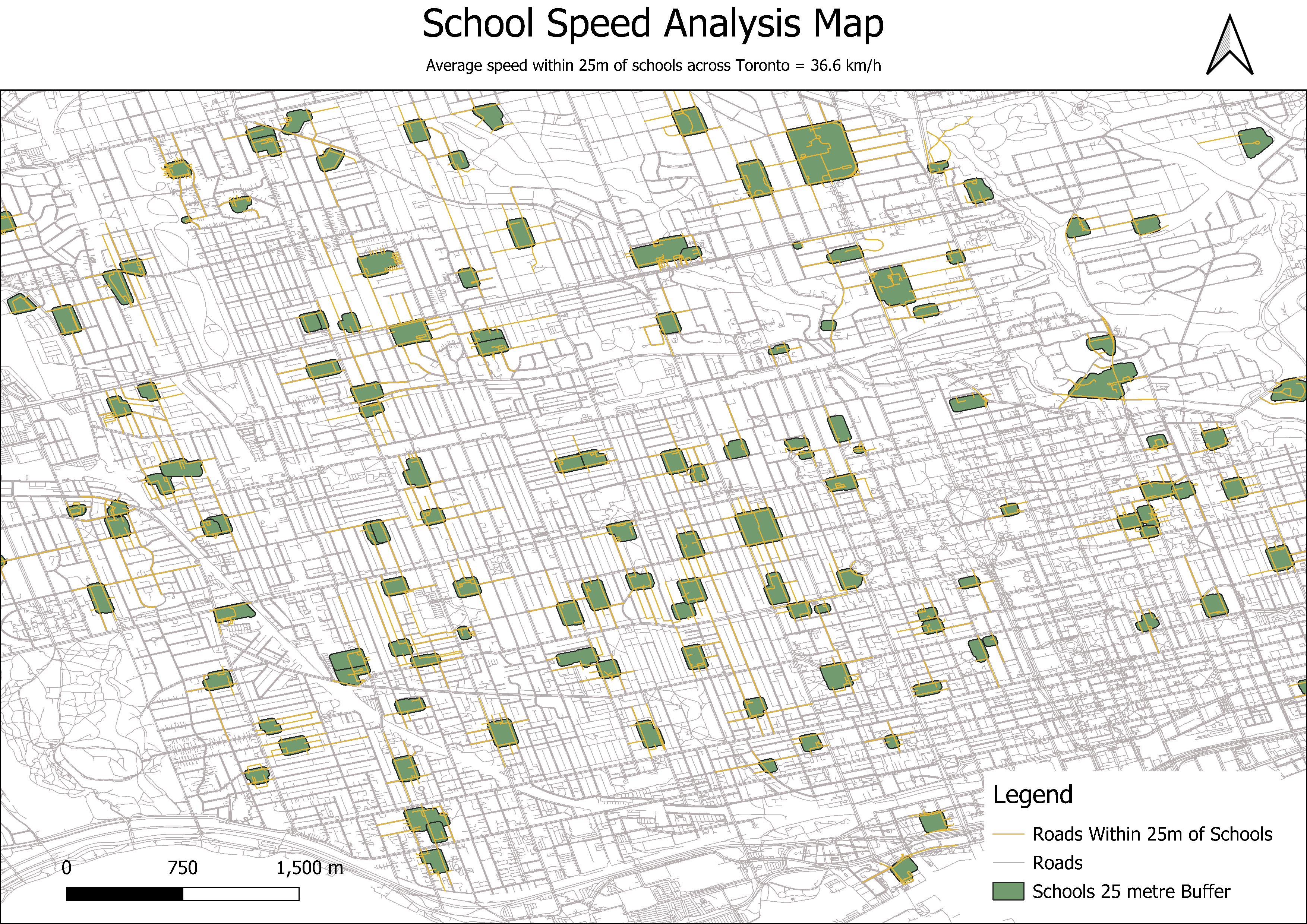
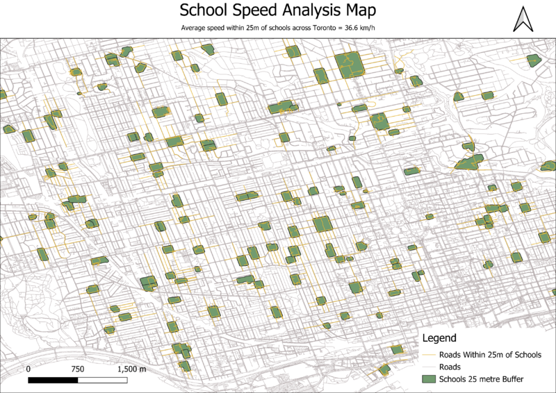
Map of the school speed analysis across Toronto
File history
Click on a date/time to view the file as it appeared at that time.
| Date/Time | Thumbnail | Dimensions | User | Comment | |
|---|---|---|---|---|---|
| current | 12:06, 26 November 2025 | | 3,507 × 2,480 (908 KB) | IanShintani (talk | contribs) |
You cannot overwrite this file.
File usage
The following page uses this file: