File:OREGONTRugged.PNG
From CUOSGwiki
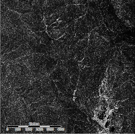
Revision as of 19:41, 22 October 2017 by Awoestreicher (talk | contribs) (Output of the Vector Terrain Ruggedness tool in SAGA GIS, used on a DEM of an area in northern oregon)
OREGONTRugged.PNG (458 × 456 pixels, file size: 285 KB, MIME type: image/png)
Output of the Vector Terrain Ruggedness tool in SAGA GIS, used on a DEM of an area in northern oregon
File history
Click on a date/time to view the file as it appeared at that time.
| Date/Time | Thumbnail | Dimensions | User | Comment | |
|---|---|---|---|---|---|
| current | 19:41, 22 October 2017 |  | 458 × 456 (285 KB) | Awoestreicher (talk | contribs) | Output of the Vector Terrain Ruggedness tool in SAGA GIS, used on a DEM of an area in northern oregon |
You cannot overwrite this file.
File usage
There are no pages that use this file.
