Difference between revisions of "File:ORM 3.png"
From CUOSGwiki
Jump to navigationJump to search| Line 1: | Line 1: | ||
| − | A screenshot of the output of shortest path analysis using the Open Routing Mapper in QGIS. |
+ | A screenshot of the output of shortest path analysis using the Open Routing Mapper in QGIS. Data courtesy of TomTom. |
Latest revision as of 11:54, 22 December 2023
A screenshot of the output of shortest path analysis using the Open Routing Mapper in QGIS. Data courtesy of TomTom.
File history
Click on a date/time to view the file as it appeared at that time.
| Date/Time | Thumbnail | Dimensions | User | Comment | |
|---|---|---|---|---|---|
| current | 15:10, 19 December 2023 | 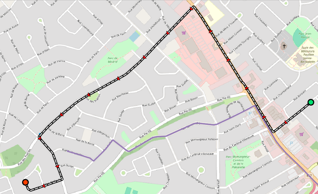 | 1,067 × 653 (548 KB) | AHoferek (talk | contribs) |
You cannot overwrite this file.
File usage
The following page uses this file: