Uploads by Awoestreicher
From CUOSGwiki
Jump to navigationJump to searchThis special page shows all uploaded files.
| Date | Name | Thumbnail | Size | Description | Versions |
|---|---|---|---|---|---|
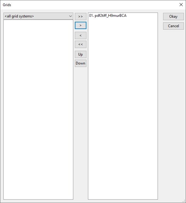
| 11:05, 20 December 2017 | Gridselect.PNG (file) |  |
10 KB | 1 | |
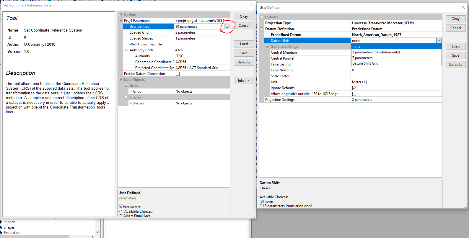
| 10:53, 20 December 2017 | Setcoord.PNG (file) |  |
71 KB | 1 | |
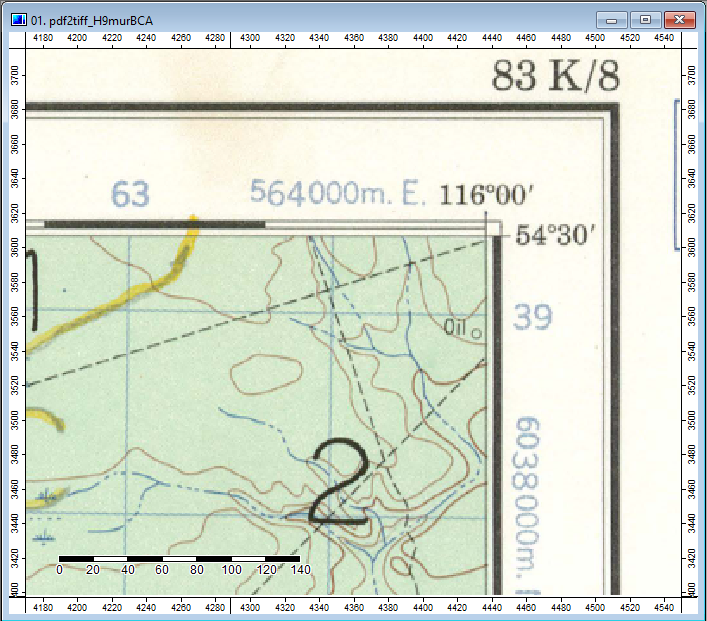
| 10:32, 20 December 2017 | Endmodule.PNG (file) |  |
22 KB | 1 | |
| 10:25, 20 December 2017 | Action button.PNG (file) |  |
790 KB | 1 | |
| 10:23, 20 December 2017 | Graticules.PNG (file) |  |
313 KB | 1 | |
| 10:04, 20 December 2017 | Openfile.PNG (file) |  |
33 KB | 1 | |
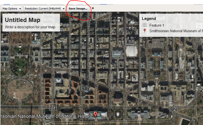
| 09:39, 20 December 2017 | Saveimage.PNG (file) |  |
1.02 MB | 1 | |
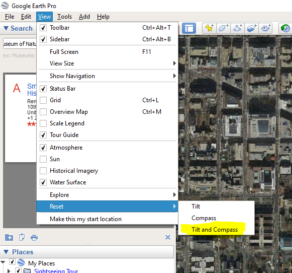
| 09:20, 20 December 2017 | TIltcompass.PNG (file) |  |
304 KB | 1 | |
| 09:15, 20 December 2017 | LAYERSSAGA.PNG (file) |  |
18 KB | 1 | |
| 07:41, 20 December 2017 | SAGAGIS.png (file) |  |
54 KB | SAGA GIS LOGO | 1 |
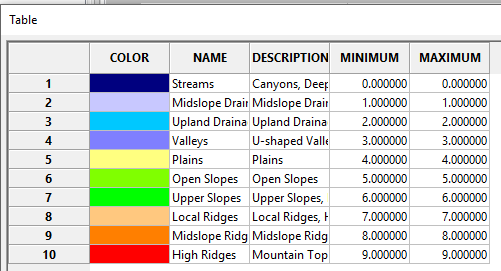
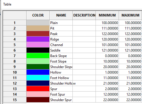
| 07:47, 23 October 2017 | Tpilegend.PNG (file) |  |
12 KB | TPI Based landforms classification Output legend, Gatineau park, SAGA GIS | 1 |
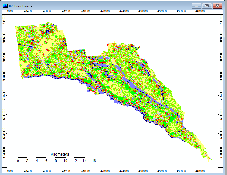
| 07:44, 23 October 2017 | Tpilandforms.PNG (file) |  |
68 KB | TPI Based landforms classification Output, Gatineau park, SAGA GIS | 1 |
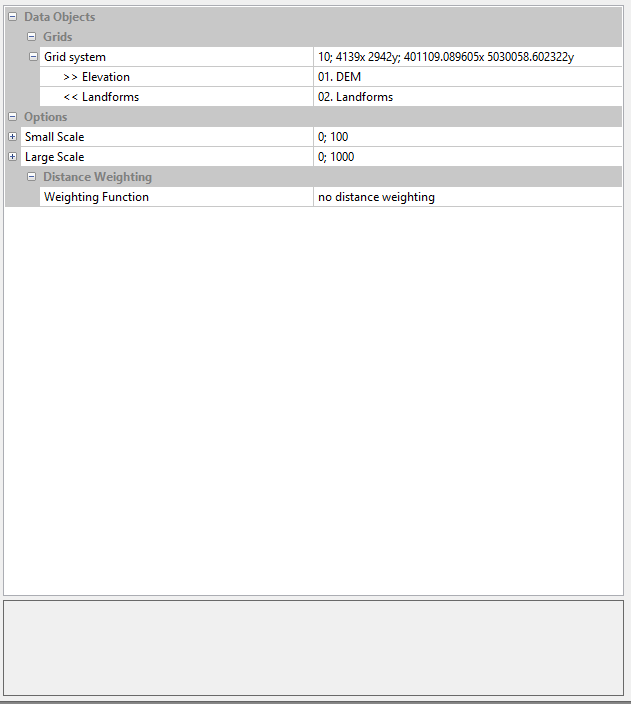
| 07:43, 23 October 2017 | Tpilandformsoptions.PNG (file) |  |
11 KB | TPI Based landforms classification options menu, SAGA | 1 |
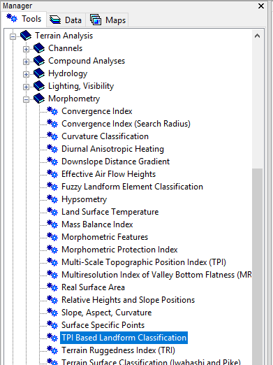
| 07:38, 23 October 2017 | TPIlandselection.PNG (file) |  |
25 KB | Location in tools menu of TPI Based Landform Classification tool in SAGA | 1 |
| 03:26, 23 October 2017 | Fuzzy legend.PNG (file) |  |
14 KB | 1 | |
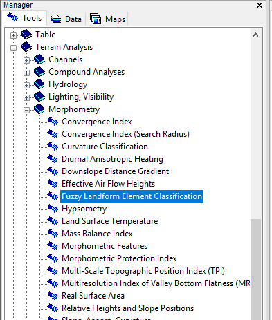
| 03:18, 23 October 2017 | Gatineauselections.PNG (file) |  |
21 KB | Location of the fuzzy landform elements classification tool in SAGA GIS | 1 |
| 03:01, 23 October 2017 | Gatineaufuzzyoptions.PNG (file) |  |
22 KB | Options for for fuzzy landform element classification, SAGA | 1 |
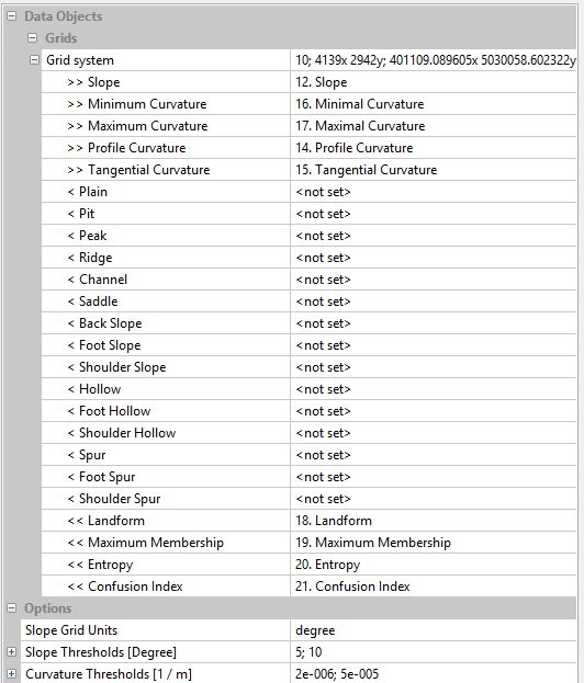
| 03:00, 23 October 2017 | Gatineau options.PNG (file) |  |
16 KB | Options for the slope and curvature surfaces needed for fuzzy landform element classification, SAGA | 1 |
| 02:59, 23 October 2017 | Gatineau.PNG (file) |  |
139 KB | Gatineau Park DEM via SAGA | 1 |
| 02:59, 23 October 2017 | Gatineaufuzzy.PNG (file) |  |
66 KB | fuzzy logic landform element interpretation of gatineau park via SAGA | 1 |
| 00:56, 23 October 2017 | Terrain ruggedness selection.PNG (file) |  |
35 KB | Screenshot of Vector Ruggedness Measure tool location in SAGA GIS | 1 |
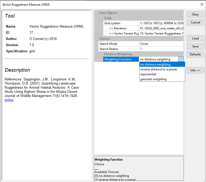
| 00:42, 23 October 2017 | TerrainruggednessSettings1.PNG (file) |  |
34 KB | Process Settings for the Vector Terrain Ruggedness settings, SAGA GIS | 1 |
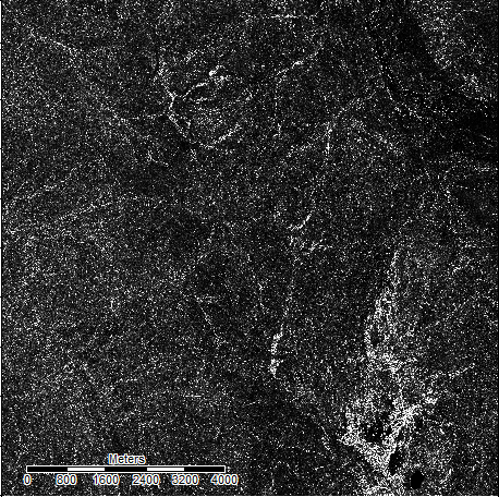
| 00:41, 23 October 2017 | OREGONTRugged.PNG (file) |  |
285 KB | Output of the Vector Terrain Ruggedness tool in SAGA GIS, used on a DEM of an area in northern oregon | 1 |
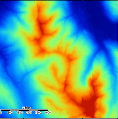
| 00:40, 23 October 2017 | OregonDEM.PNG (file) |  |
299 KB | Digital Elevation Map of an Area of Northern Oregon, SAGA GIS | 1 |