Uploads by Mattjudd
From CUOSGwiki
Jump to navigationJump to searchThis special page shows all uploaded files.
| Date | Name | Thumbnail | Size | Description | Versions |
|---|---|---|---|---|---|
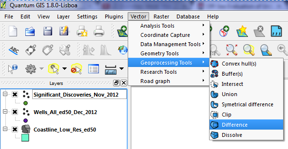
| 23:09, 19 December 2012 | DifferenceAnalysis.png (file) |  |
68 KB | 1 | |
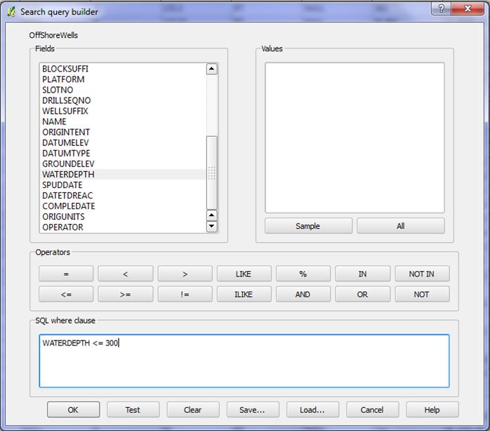
| 22:01, 19 December 2012 | Waterdepth50.png (file) |  |
126 KB | 1 | |
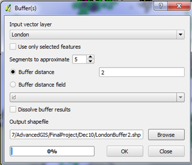
| 20:44, 19 December 2012 | Buffer2r.png (file) |  |
75 KB | 1 | |
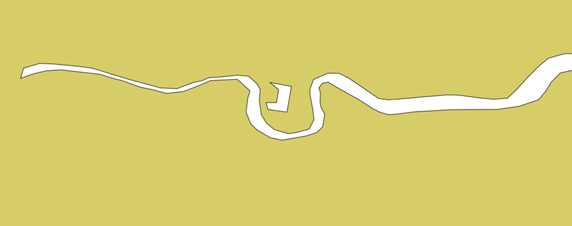
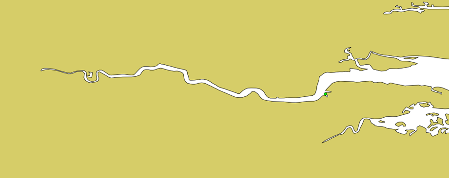
| 05:40, 19 December 2012 | London4.png (file) |  |
25 KB | 1 | |
| 05:39, 19 December 2012 | London3.png (file) |  |
49 KB | 1 | |
| 05:39, 19 December 2012 | London2.png (file) |  |
37 KB | 1 | |
| 05:38, 19 December 2012 | London1.png (file) |  |
71 KB | 1 | |
| 21:35, 18 December 2012 | Unliseanced wells2.JPG (file) |  |
80 KB | 1 | |
| 21:30, 18 December 2012 | 36.JPG (file) |  |
63 KB | 1 | |
| 21:26, 18 December 2012 | 96.JPG (file) |  |
55 KB | 1 | |
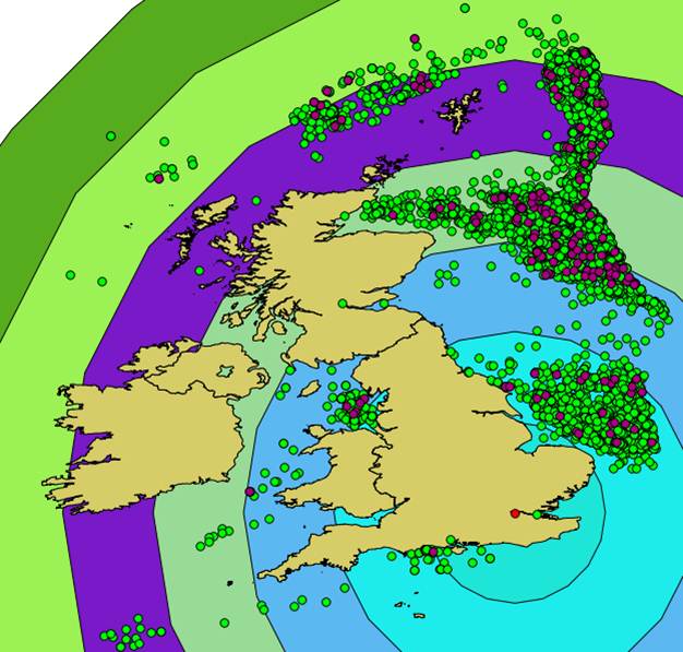
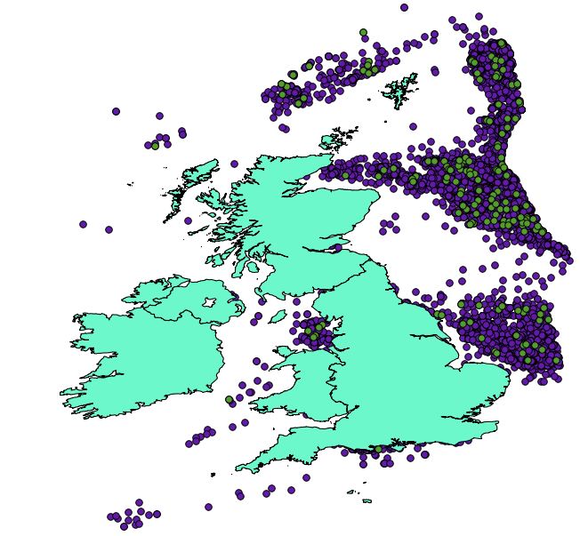
| 23:11, 17 December 2012 | Enviromentalconstriant.png (file) |  |
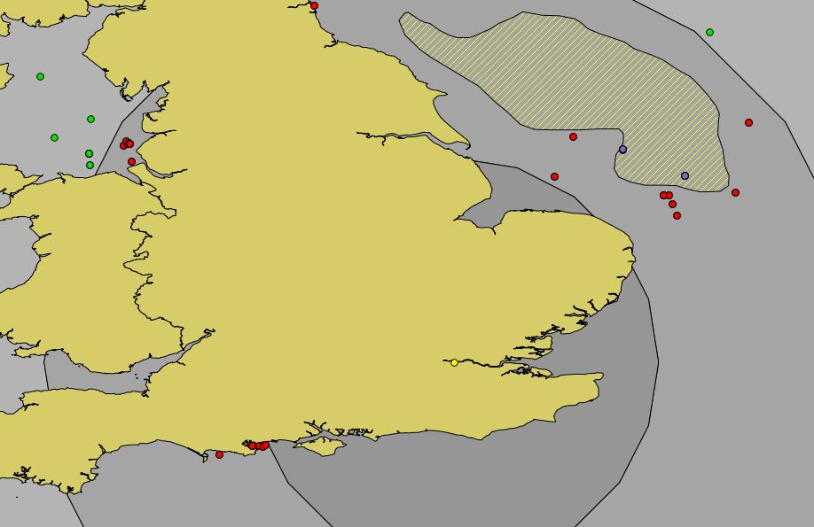
224 KB | Image of the environmental constraint located in the cluster of wells in southern portion of the North Sea. | 1 |
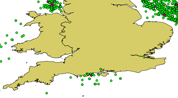
| 22:28, 17 December 2012 | Unliseanced wells.JPG (file) |  |
89 KB | A map of the unlicensed wells in southern Great Britain. | 1 |
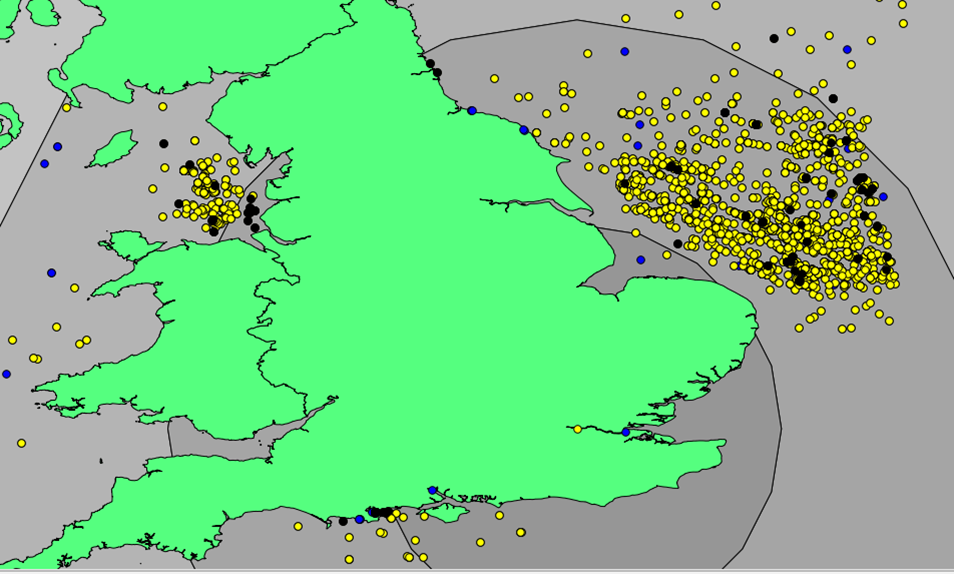
| 21:43, 17 December 2012 | Wellsunder50.png (file) |  |
223 KB | These are all the wells under 50m of Depth around London | 1 |
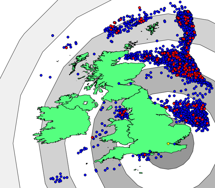
| 20:44, 17 December 2012 | Donuts.png (file) |  |
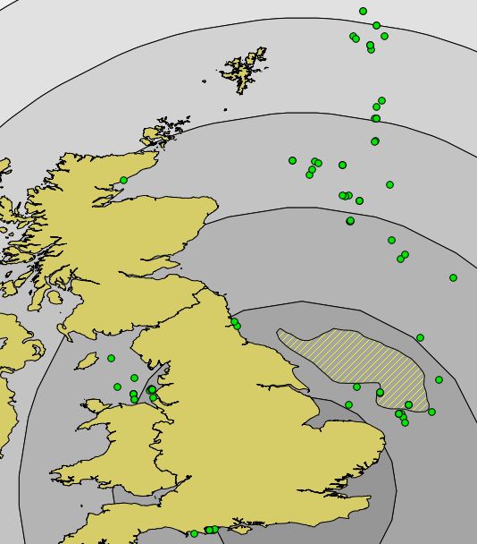
227 KB | 2 Degree Buffer Zones Donuts; every 2nd ring is turned off to show the donut effect. | 1 |
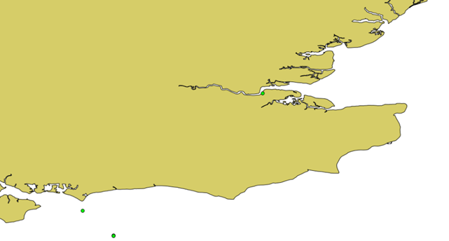
| 23:42, 10 December 2012 | London2buffer.jpg (file) |  |
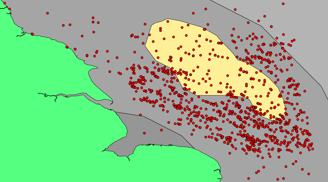
65 KB | A 2 degrees of longitude/latidude buffer extending from London England to allow for transportation evaluation. | 1 |
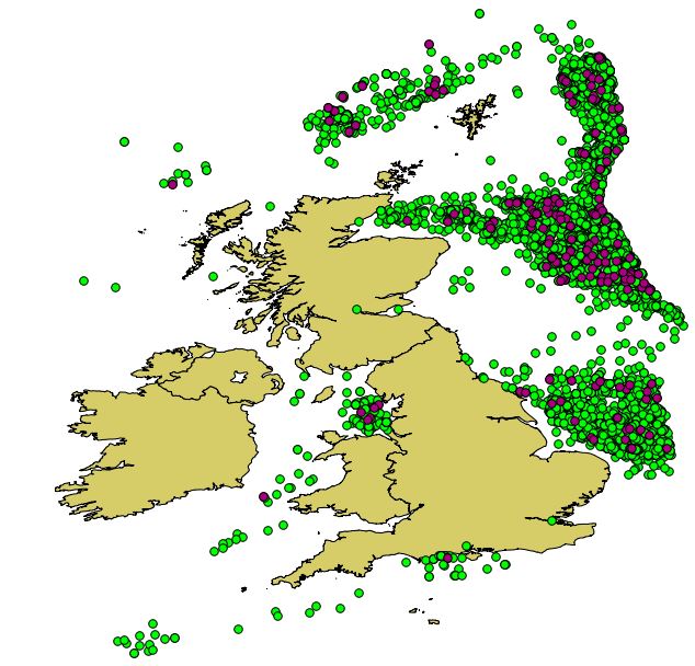
| 22:33, 10 December 2012 | Offshorewells.JPG (file) |  |
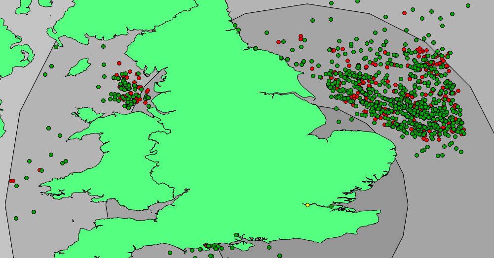
86 KB | Wells data after differce analysis is performed | 1 |
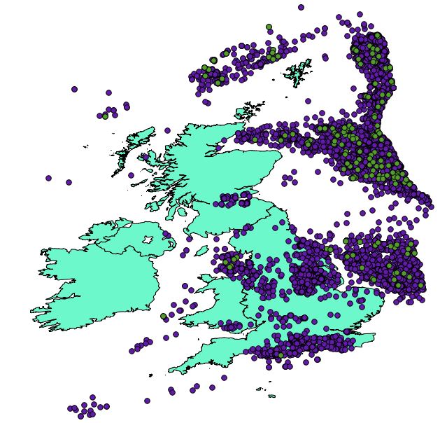
| 21:39, 10 December 2012 | Originaldatamap2.JPG (file) |  |
87 KB | Coastline, wells and signifcant wells data imported into Quantuam GIS. | 1 |
| 21:21, 10 December 2012 | Originaldatamap.JPG (file) |  |
79 KB | Coastline, wells and signifcant wells data imported into Quantuam GIS. | 1 |
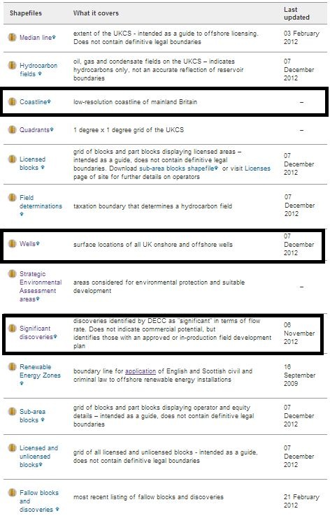
| 20:33, 10 December 2012 | Directory download paint.jpg (file) |  |
118 KB | Department of Energy and Climate Change, OFFSHORE MAPS AND GIS SHAPEFILES Directory | 1 |
| 22:09, 8 December 2012 | QGIS download.JPG (file) |  |
12 KB | Free Download Link. Available in Windows, Linux, Mac, Android and numerous other formats. | 1 |
| 22:00, 8 December 2012 | Capture.JPG (file) |  |
18 KB | Agip Oil logo | 1 |
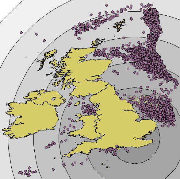
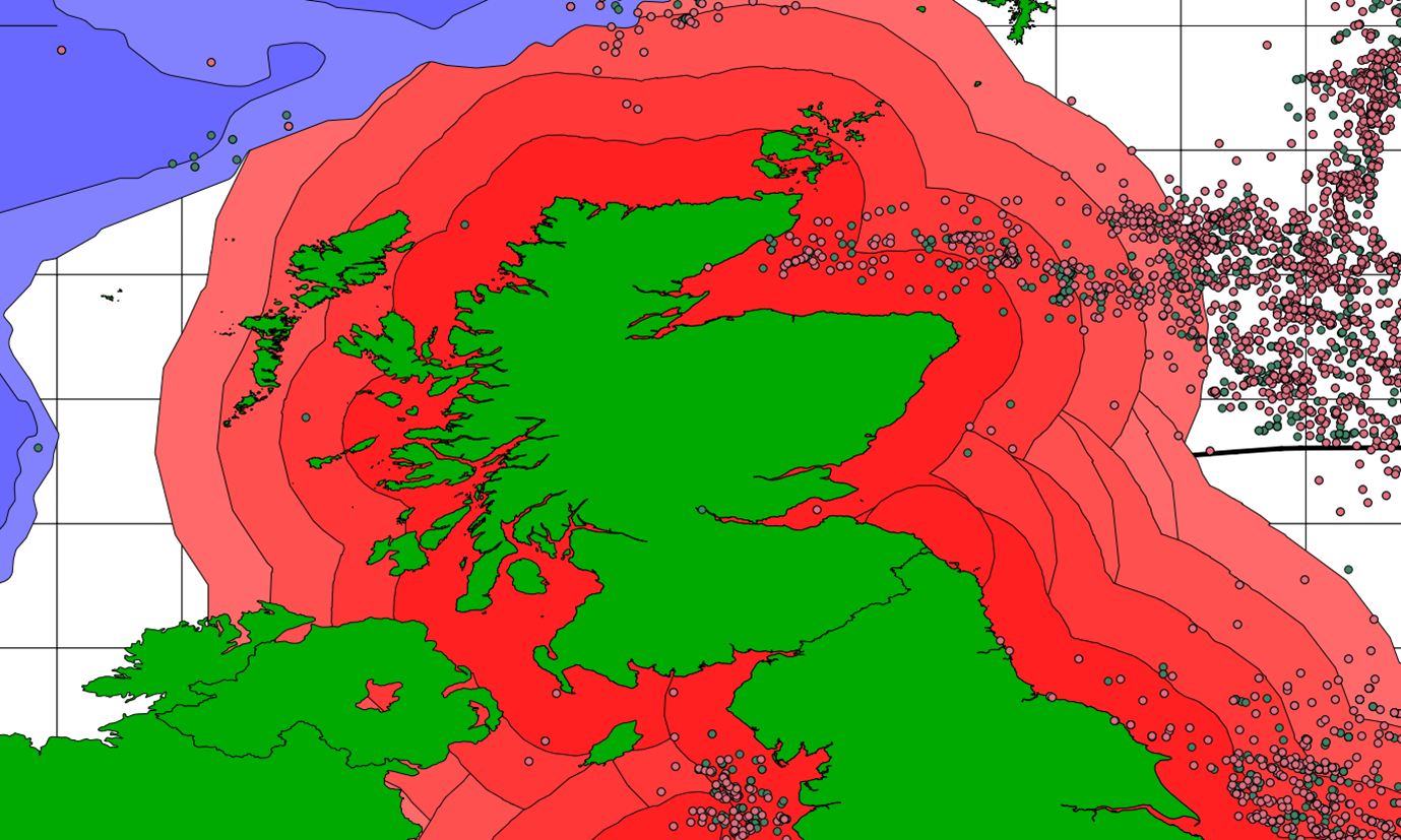
| 17:21, 7 December 2012 | Northsea.png (file) |  |
597 KB | Image of wells off the Scotland coast, including 0.5km distance buffers. | 1 |