Uploads by Misterbowwow
From CUOSGwiki
Jump to navigationJump to searchThis special page shows all uploaded files.
| Date | Name | Thumbnail | Size | Description | Versions |
|---|---|---|---|---|---|
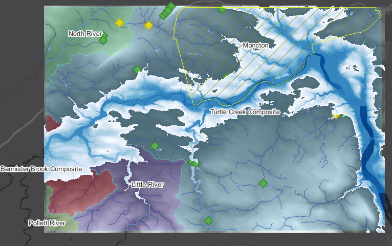
| 00:45, 6 December 2025 | FinalOutput.png (file) |  |
472 KB | 1 | |
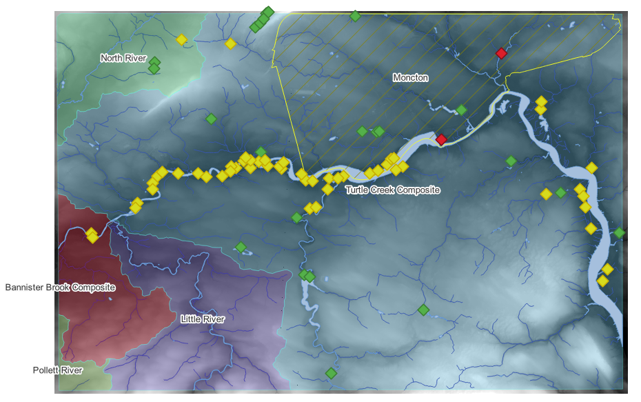
| 02:58, 5 December 2025 | ZonalStats2.png (file) |  |
255 KB | 1 | |
| 02:47, 5 December 2025 | ZonalStats.png (file) |  |
294 KB | 1 | |
| 02:35, 5 December 2025 | TurtlecreekWatershedNetwork.png (file) |  |
394 KB | 1 | |
| 01:51, 5 December 2025 | Streamnetwork.png (file) |  |
502 KB | 1 | |
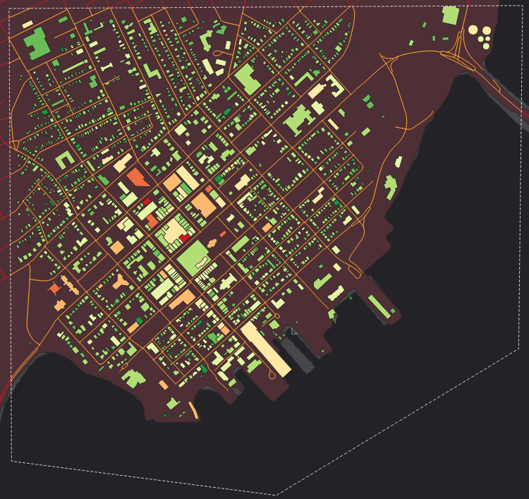
| 01:31, 5 December 2025 | FloodRisk.png (file) |  |
404 KB | 1 | |
| 01:04, 5 December 2025 | ClippedVectorOutput.png (file) |  |
449 KB | 1 | |
| 00:31, 5 December 2025 | Boundingboxraster.png (file) |  |
17 KB | 1 | |
| 00:30, 5 December 2025 | RasterssCalcOutput.png (file) |  |
38 KB | 1 | |
| 23:29, 4 December 2025 | ClippedVectors.png (file) |  |
148 KB | 1 | |
| 23:16, 4 December 2025 | CleanedBox.png (file) |  |
16 KB | 1 | |
| 23:06, 4 December 2025 | RasterCalcBox.png (file) |  |
23 KB | 1 | |
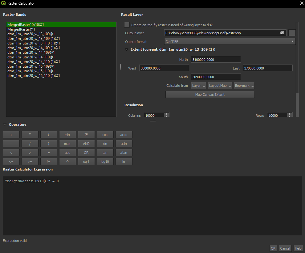
| 23:01, 4 December 2025 | RasterCalcParam.png (file) |  |
50 KB | 1 | |
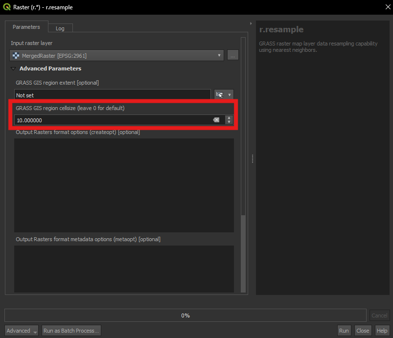
| 22:39, 4 December 2025 | RasterResample.png (file) |  |
29 KB | 1 | |
| 22:34, 4 December 2025 | RasterMergerUTM20.png (file) |  |
258 KB | 1 | |
| 21:48, 4 December 2025 | ToolboxIcon.png (file) |  |
1 KB | 1 | |
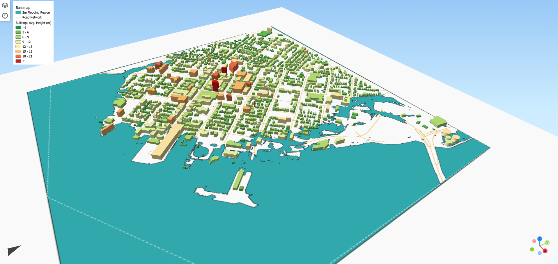
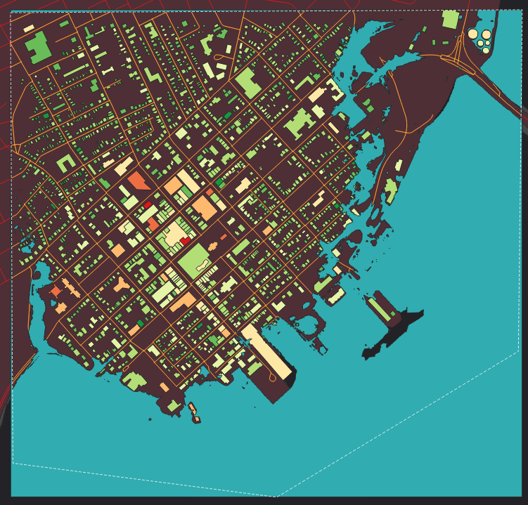
| 00:06, 7 October 2025 | Final result.png (file) |  |
641 KB | 1 | |
| 23:34, 6 October 2025 | Final before export.png (file) |  |
339 KB | 1 | |
| 23:30, 6 October 2025 | Adding exaggeration.png (file) |  |
47 KB | 1 | |
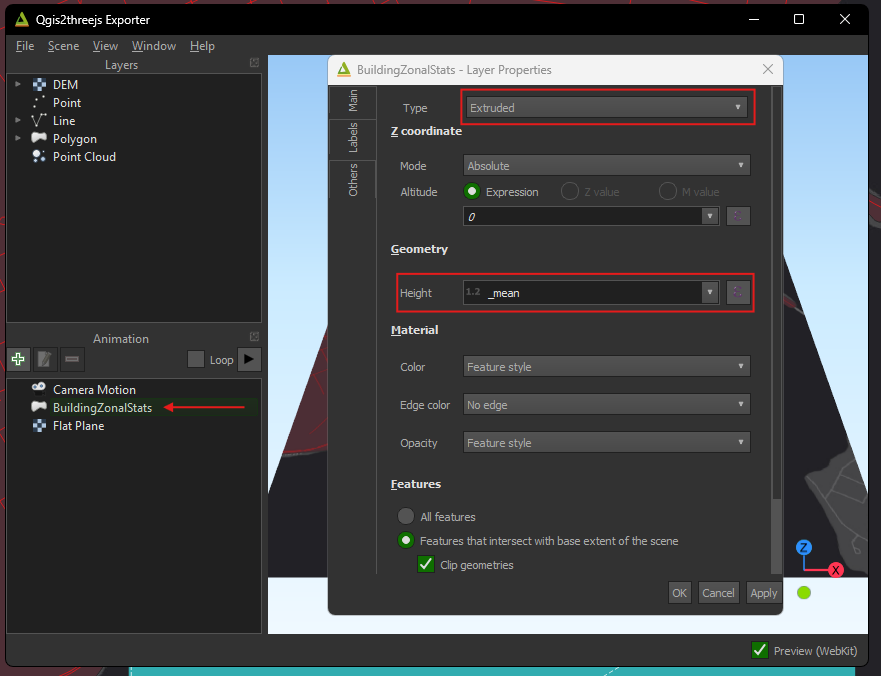
| 23:29, 6 October 2025 | Qgis23js building params.png (file) |  |
65 KB | 1 | |
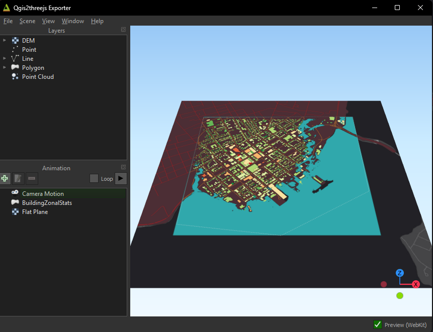
| 23:26, 6 October 2025 | Qgis23js layers.png (file) |  |
167 KB | 1 | |
| 23:21, 6 October 2025 | Qgis23jsIcon.png (file) | 25 KB | 1 | ||
| 23:02, 6 October 2025 | ZSSym2.png (file) |  |
438 KB | 1 | |
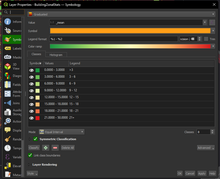
| 23:00, 6 October 2025 | ZSSymbology.png (file) |  |
73 KB | 1 | |
| 22:58, 6 October 2025 | BuildingHeight.png (file) |  |
417 KB | 1 | |
| 22:54, 6 October 2025 | Estimated building height.png (file) |  |
1.28 MB | 1 | |
| 22:47, 6 October 2025 | Identify Features Icon .png (file) | 1 KB | 1 | ||
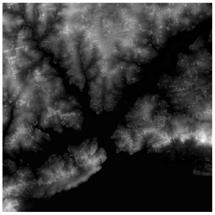
| 22:31, 6 October 2025 | NormalizedDSM.png (file) |  |
760 KB | 1 | |
| 22:19, 6 October 2025 | Replacing nd w- 0.png (file) |  |
37 KB | 1 | |
| 22:12, 6 October 2025 | RasterCalcOutput.png (file) |  |
34 KB | 1 | |
| 22:11, 6 October 2025 | RasterCalcParams.png (file) |  |
65 KB | 1 | |
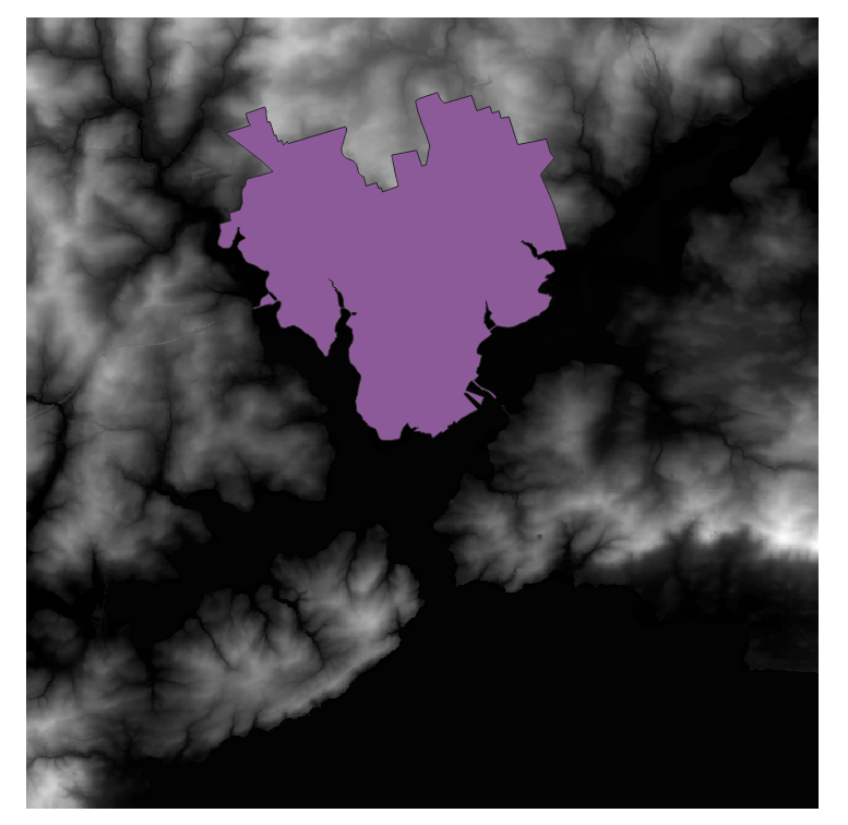
| 22:01, 6 October 2025 | Clipped DSM.png (file) |  |
775 KB | 1 | |
| 22:00, 6 October 2025 | Clipped DTM.png (file) |  |
716 KB | 1 | |
| 21:50, 6 October 2025 | AoIClips.png (file) |  |
722 KB | 1 | |
| 21:39, 6 October 2025 | NewAoIPolygon.png (file) |  |
505 KB | 1 | |
| 21:33, 6 October 2025 | Add polygon feature icon.png (file) | 1 KB | 1 | ||
| 21:32, 6 October 2025 | Toggle Editing Icon.png (file) | 1 KB | 1 | ||
| 21:24, 6 October 2025 | NewAoILayerParams.png (file) |  |
38 KB | 1 | |
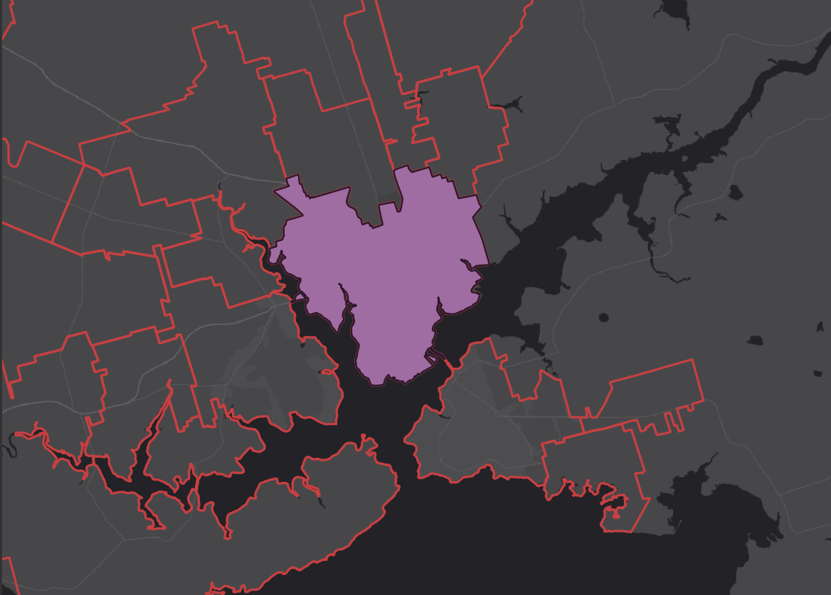
| 21:16, 6 October 2025 | CharlottetownWatershedCoastline.png (file) |  |
422 KB | 1 | |
| 21:09, 6 October 2025 | CharlottetownZoning.png (file) |  |
291 KB | 1 | |
| 21:09, 6 October 2025 | Charlottetown zoning.png (file) |  |
251 KB | Reverted to version as of 15:42, 2 October 2025 (EDT) | 5 |
| 20:59, 6 October 2025 | Clip function params.png (file) |  |
256 KB | 1 | |
| 20:58, 6 October 2025 | Toolbox Clip.png (file) |  |
19 KB | 1 | |
| 20:56, 6 October 2025 | Adv. options icon.png (file) | 907 bytes | 1 | ||
| 19:37, 6 October 2025 | Merged DSM.png (file) |  |
387 KB | 1 | |
| 20:25, 2 October 2025 | Charlottetown watershed coastline.png (file) |  |
59 KB | 1 | |
| 19:14, 2 October 2025 | SelectFeatures.png (file) |  |
1 KB | 1 | |
| 17:09, 2 October 2025 | Coordsystem.png (file) |  |
108 KB | 1 | |
| 17:08, 2 October 2025 | Co-ordinate system.png (file) |  |
129 KB | Reverted to version as of 15:26, 21 December 2023 (EST) | 3 |
| 02:32, 2 October 2025 | Merge result 1.png (file) |  |
268 KB | Focus on our merged rasters | 2 |