Uploads by Rjmitchell
From CUOSGwiki
Jump to navigationJump to searchThis special page shows all uploaded files.
| Date | Name | Thumbnail | Size | Description | Versions |
|---|---|---|---|---|---|
| 23:12, 21 December 2018 | Basemap.PNG (file) |  |
342 KB | 1 | |
| 23:10, 21 December 2018 | Colortable.PNG (file) |  |
21 KB | 1 | |
| 23:09, 21 December 2018 | Propertiess.PNG (file) |  |
24 KB | 1 | |
| 23:08, 21 December 2018 | Importeddata.PNG (file) |  |
248 KB | 1 | |
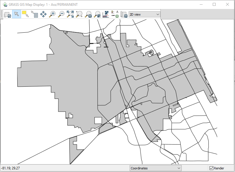
| 23:08, 21 December 2018 | Roadsboundary.PNG (file) |  |
87 KB | 1 | |
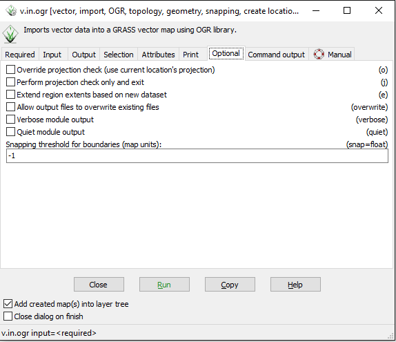
| 23:07, 21 December 2018 | Importvectorlayer.PNG (file) |  |
19 KB | 1 | |
| 23:06, 21 December 2018 | Vectorimport.PNG (file) |  |
20 KB | 1 | |
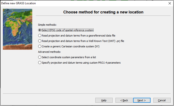
| 23:04, 21 December 2018 | Definelocation3.PNG (file) |  |
95 KB | 1 | |
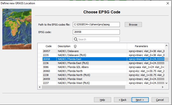
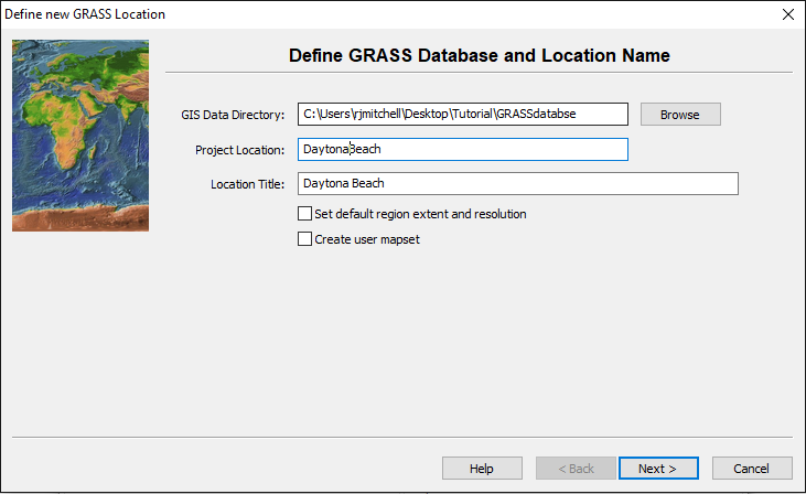
| 23:03, 21 December 2018 | Definelocation2.PNG (file) |  |
87 KB | 1 | |
| 23:03, 21 December 2018 | Definelocation.PNG (file) |  |
81 KB | 1 | |
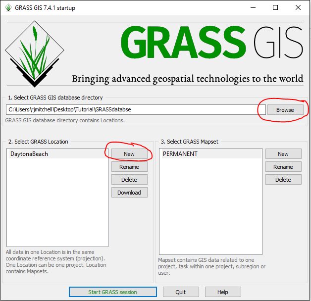
| 22:58, 21 December 2018 | Startup.PNG (file) |  |
41 KB | Startup screen of GRASS GIS | 1 |
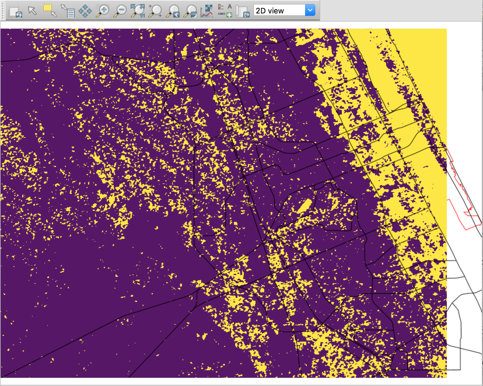
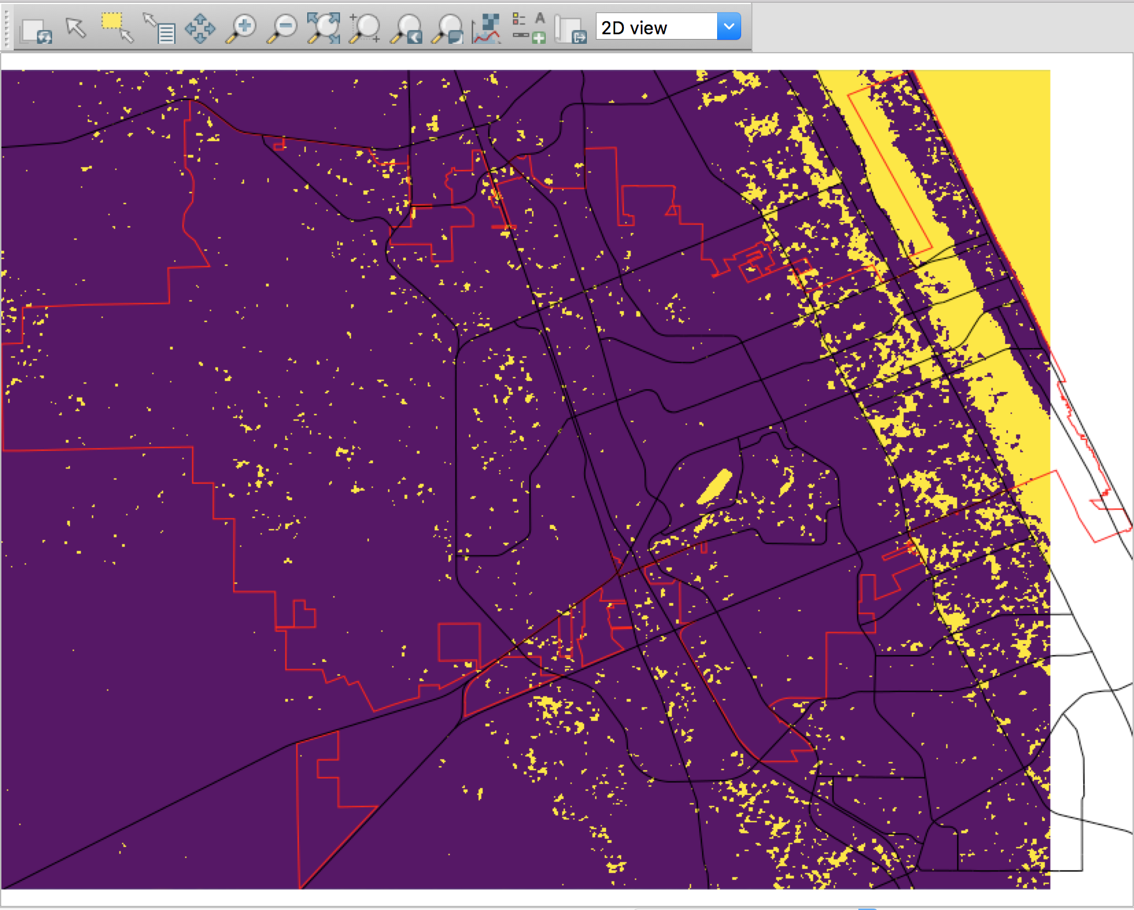
| 22:54, 21 December 2018 | Flood5m.png (file) |  |
886 KB | A flood risk map of Daytona Beach showing a rise of 5m in sea level (flooded areas are in yellow). | 1 |
| 22:54, 21 December 2018 | Flood2m.png (file) |  |
775 KB | A flood risk map of Daytona Beach showing a rise of 2m in sea level (flooded areas are in yellow). | 1 |