Uploads by Vincentribberink
From CUOSGwiki
Jump to navigationJump to searchThis special page shows all uploaded files.
| Date | Name | Thumbnail | Size | Description | Versions |
|---|---|---|---|---|---|
| 09:02, 18 December 2025 | 29 explore tsp.png (file) |  |
1.89 MB | 1 | |
| 09:01, 18 December 2025 | 28 tsp.png (file) |  |
486 KB | 1 | |
| 09:01, 18 December 2025 | 27 truncated.png (file) |  |
443 KB | 1 | |
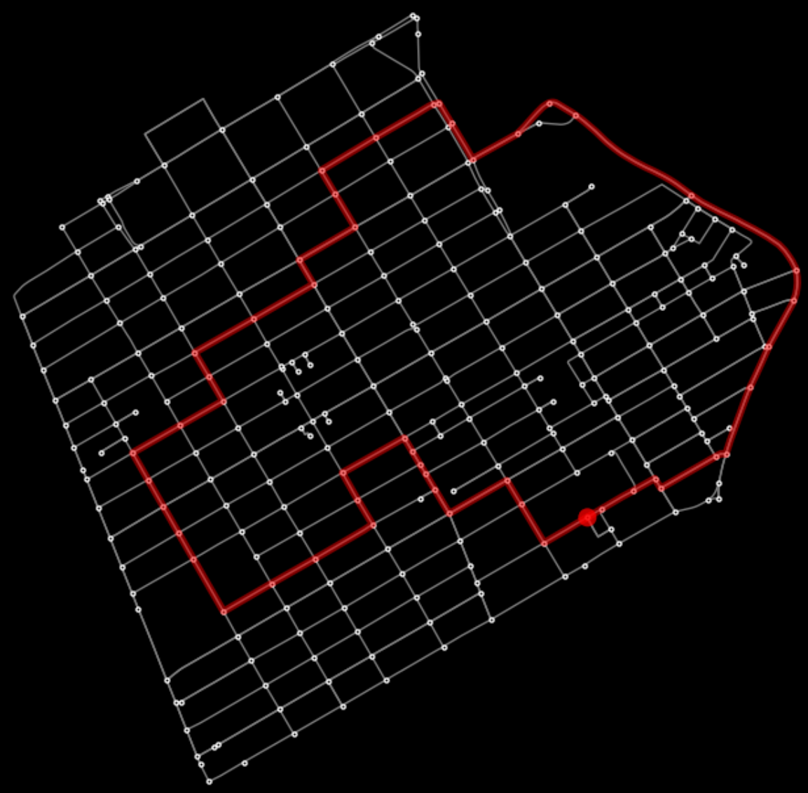
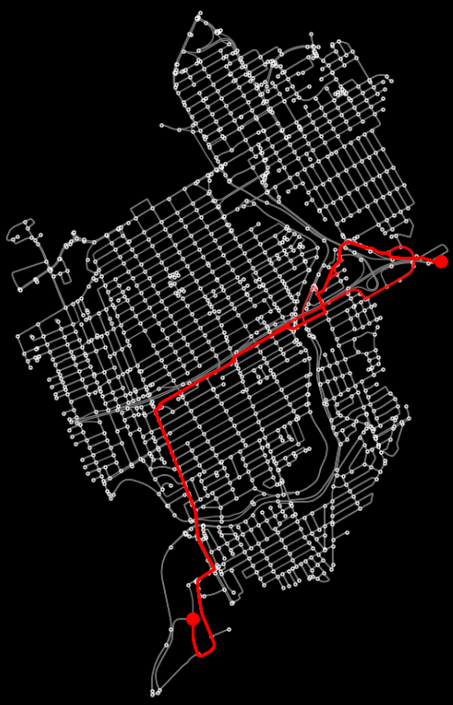
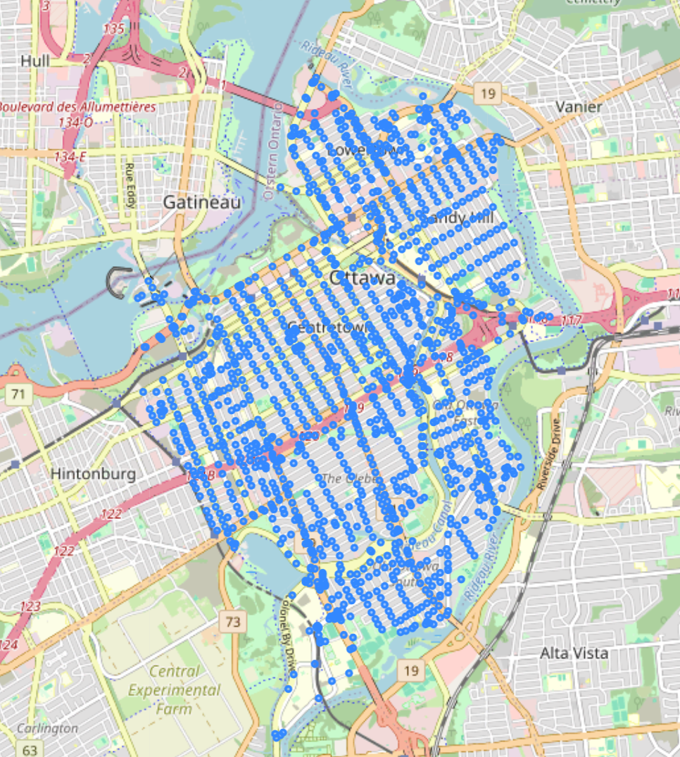
| 09:00, 18 December 2025 | 26 network ott smaller.png (file) |  |
446 KB | 1 | |
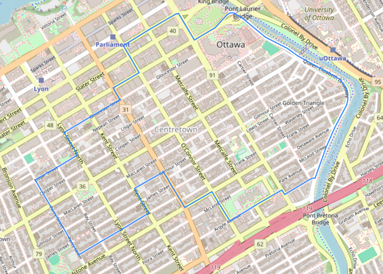
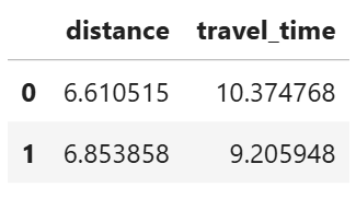
| 09:00, 18 December 2025 | 25 routes 20 compare.png (file) |  |
110 KB | 1 | |
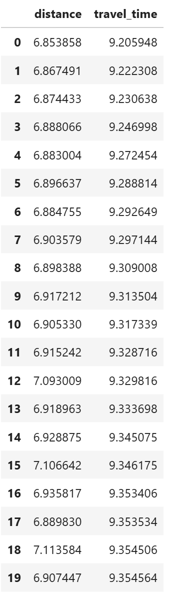
| 09:00, 18 December 2025 | 24 routes 20.png (file) |  |
806 KB | 1 | |
| 09:00, 18 December 2025 | 23 routes compare stats.png (file) |  |
14 KB | 1 | |
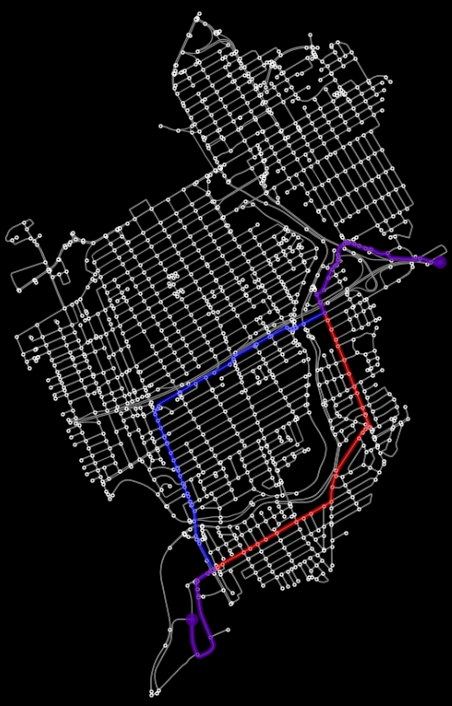
| 09:00, 18 December 2025 | 22 routes compare.png (file) |  |
820 KB | 1 | |
| 08:59, 18 December 2025 | 21 route time streets.png (file) |  |
38 KB | 1 | |
| 08:59, 18 December 2025 | 20 route time.png (file) |  |
810 KB | 1 | |
| 08:59, 18 December 2025 | 19 explore nodes missing tags.png (file) |  |
1.64 MB | 1 | |
| 08:59, 18 December 2025 | 18 show nodes.png (file) |  |
82 KB | 1 | |
| 08:59, 18 December 2025 | 17 show travel time column.png (file) |  |
202 KB | 1 | |
| 08:58, 18 December 2025 | 16 show speed kph column.png (file) |  |
190 KB | 1 | |
| 08:58, 18 December 2025 | 15 explore missing maxspeed.png (file) |  |
1.55 MB | 1 | |
| 08:58, 18 December 2025 | 14 show maxspeed col.png (file) |  |
174 KB | 1 | |
| 08:58, 18 December 2025 | 13 explore missing street names.png (file) |  |
1.6 MB | 1 | |
| 08:58, 18 December 2025 | 12 missing street names.png (file) | 37 KB | 1 | ||
| 08:58, 18 December 2025 | 11 route distance streets.png (file) |  |
28 KB | 1 | |
| 08:57, 18 December 2025 | 10 route distance.png (file) |  |
811 KB | 1 | |
| 08:57, 18 December 2025 | 9 end point.png (file) |  |
486 KB | 1 | |
| 08:57, 18 December 2025 | 8 start point.png (file) |  |
531 KB | 1 | |
| 08:57, 18 December 2025 | 7 show length col.png (file) |  |
191 KB | 1 | |
| 08:56, 18 December 2025 | 6 basic stats.png (file) |  |
110 KB | 1 | |
| 08:56, 18 December 2025 | 5 with plot args.png (file) |  |
794 KB | 1 | |
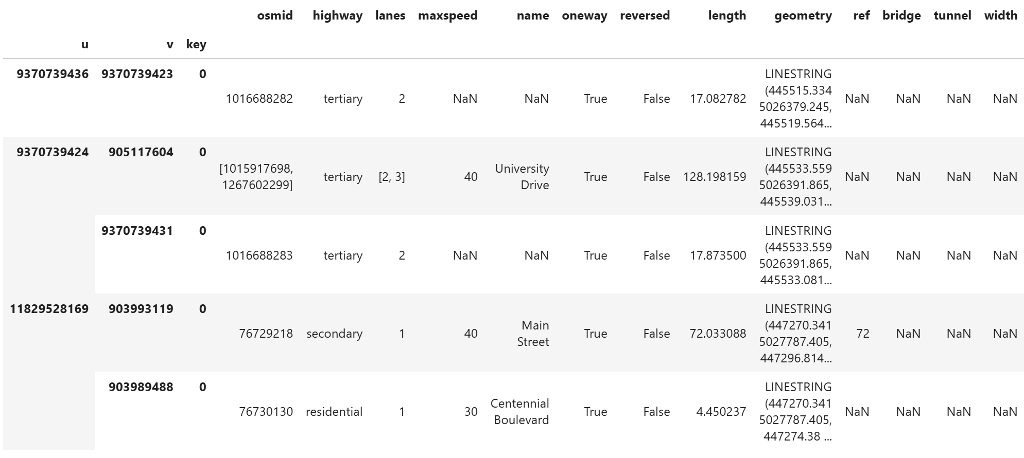
| 08:56, 18 December 2025 | 4 explore nodes.png (file) |  |
1.65 MB | 1 | |
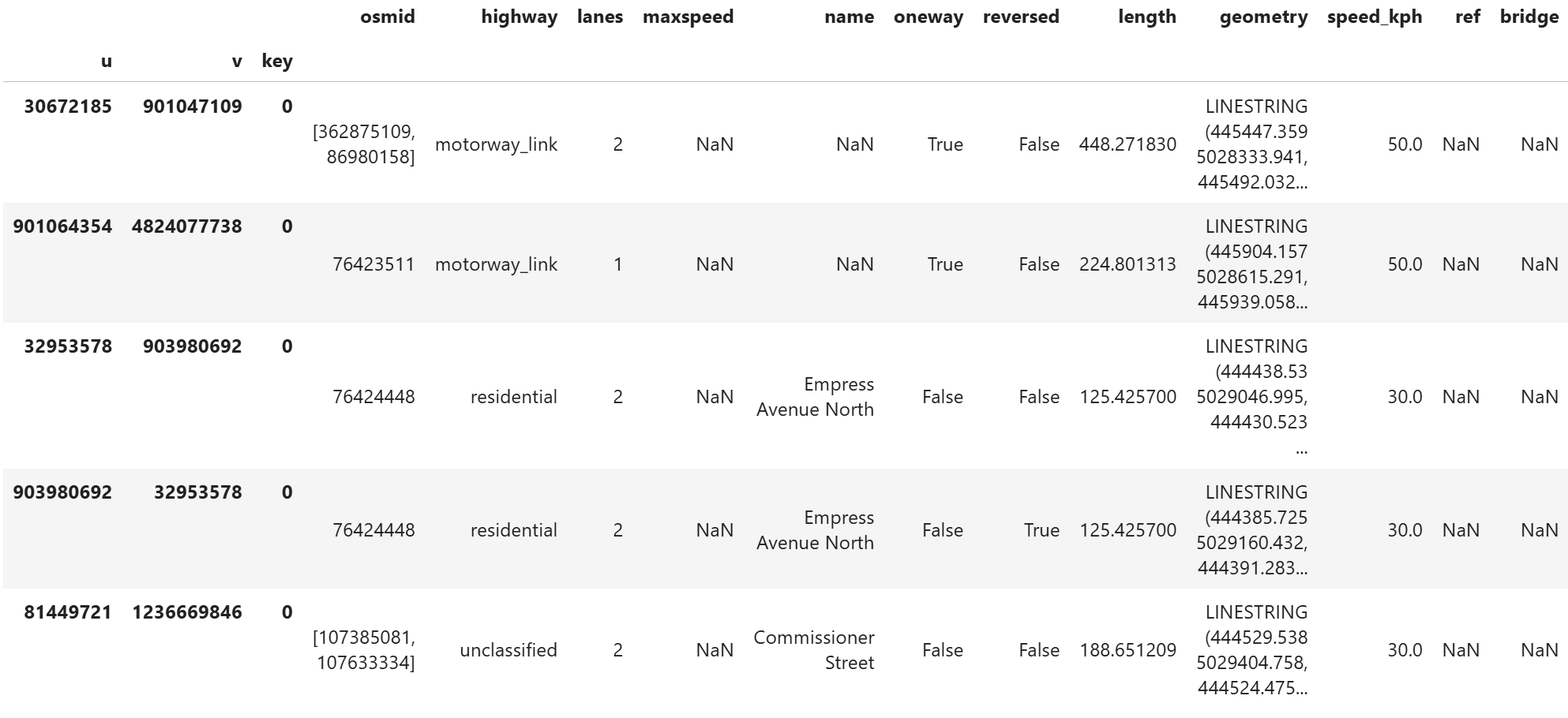
| 08:56, 18 December 2025 | 3 explore edges.png (file) |  |
1.79 MB | 1 | |
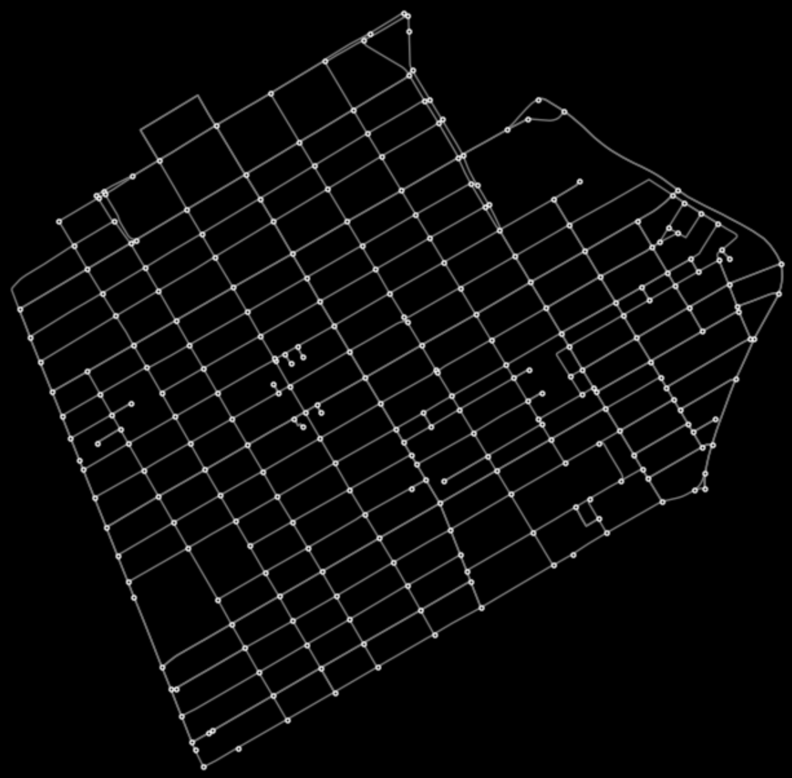
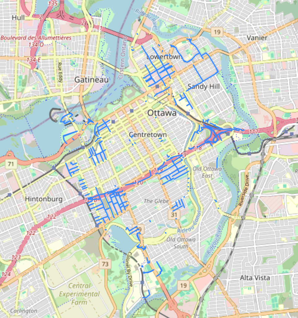
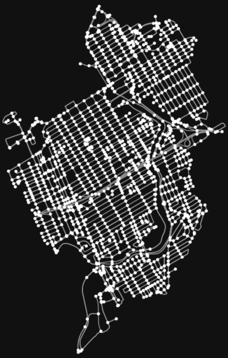
| 08:56, 18 December 2025 | 2 network ott small.png (file) |  |
574 KB | 1 | |
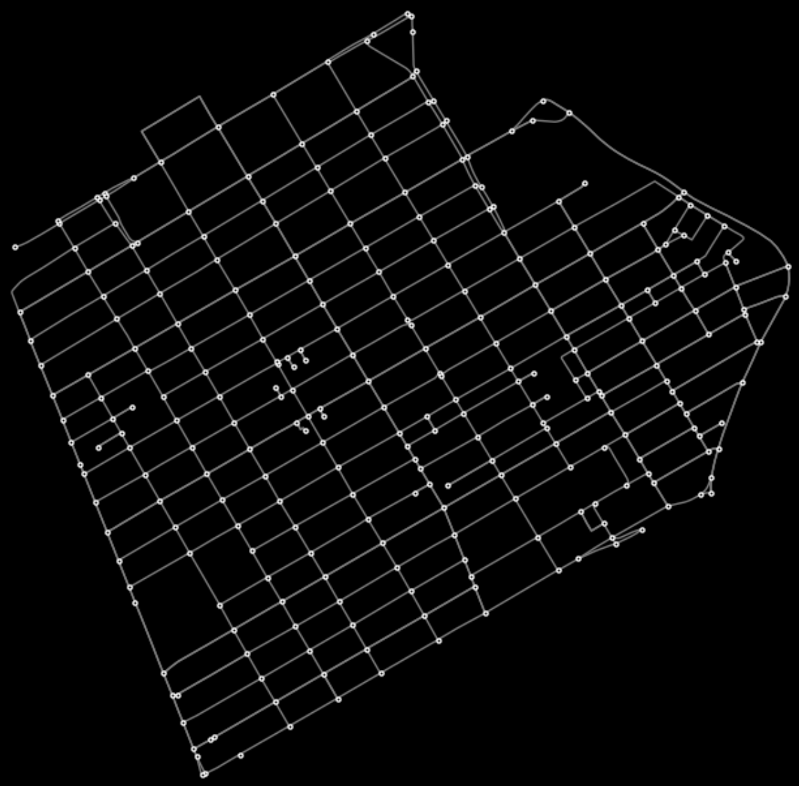
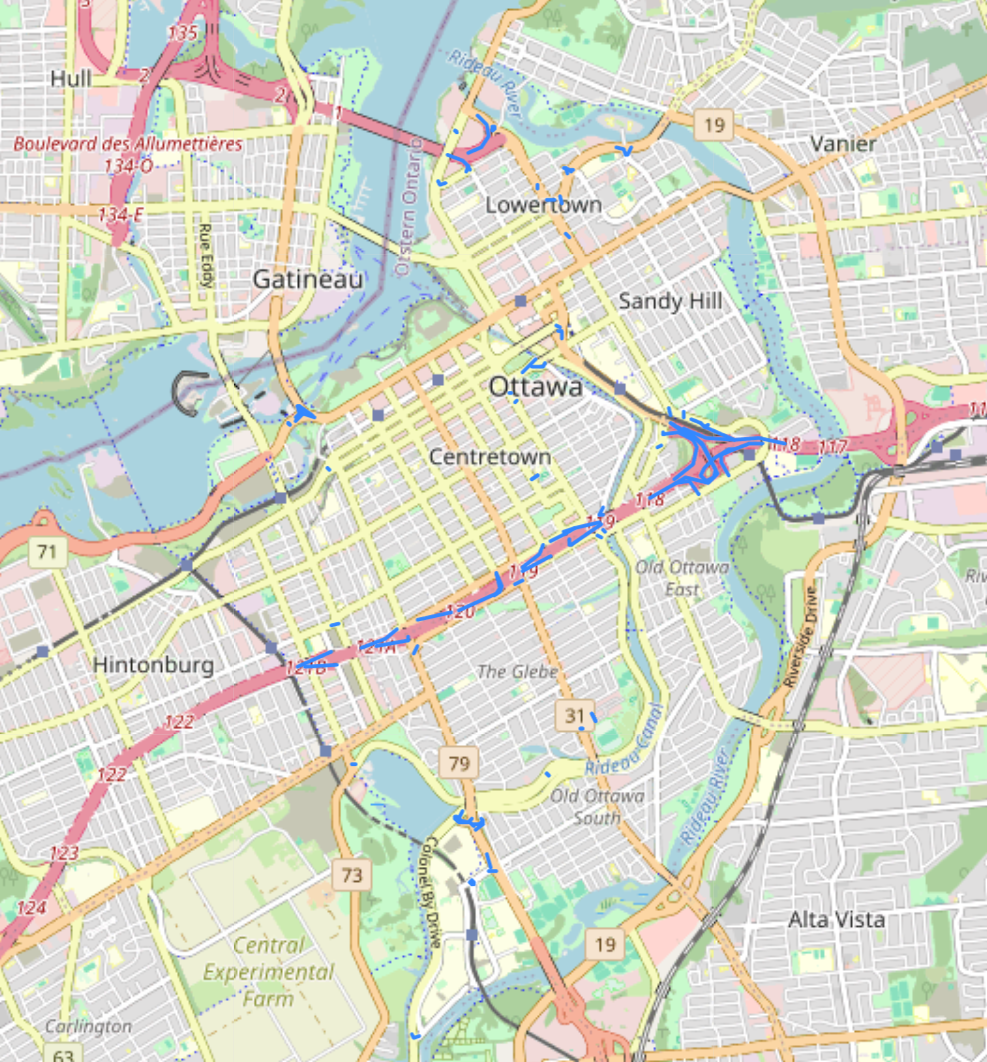
| 08:55, 18 December 2025 | 1 network ott full.png (file) |  |
521 KB | 1 | |
| 21:32, 1 October 2025 | Elimzero2.png (file) |  |
27 KB | 1 | |
| 21:31, 1 October 2025 | Elimzero1.png (file) |  |
21 KB | 1 | |
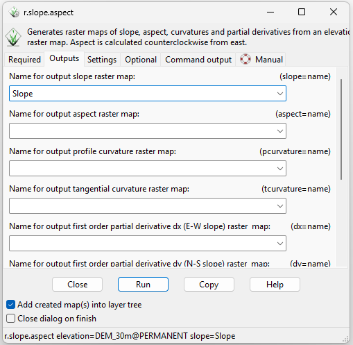
| 21:23, 1 October 2025 | Rslope2.png (file) |  |
30 KB | 1 | |
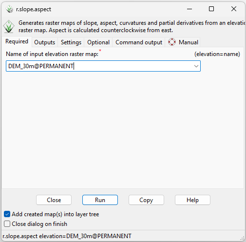
| 21:23, 1 October 2025 | Rslope1.png (file) |  |
21 KB | 1 | |
| 20:50, 1 October 2025 | Rwatershed3.png (file) |  |
36 KB | 1 | |
| 20:45, 1 October 2025 | QueryRaster.png (file) |  |
636 bytes | 1 | |
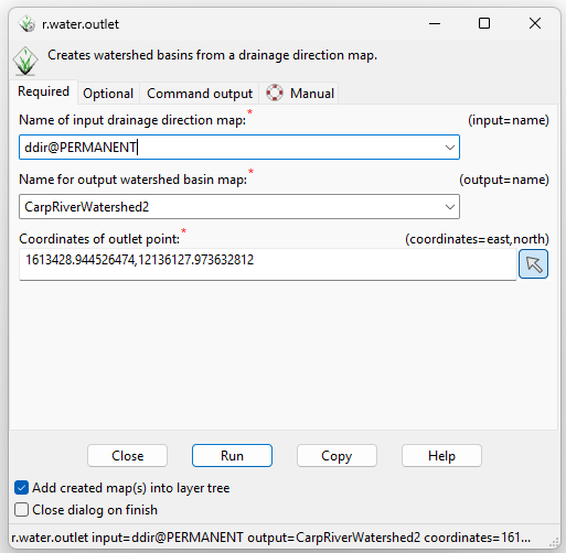
| 20:44, 1 October 2025 | RwatershedOutlet1.png (file) |  |
27 KB | 1 | |
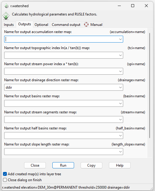
| 20:44, 1 October 2025 | Rwatershed4.png (file) |  |
33 KB | 1 | |
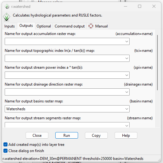
| 20:44, 1 October 2025 | Rwatershed2.png (file) |  |
32 KB | 1 | |
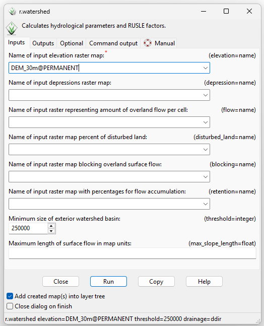
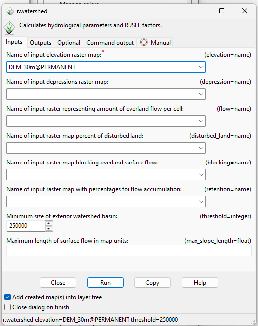
| 20:44, 1 October 2025 | Rwatershed1.png (file) |  |
36 KB | 1 | |
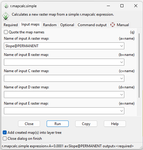
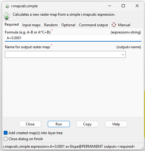
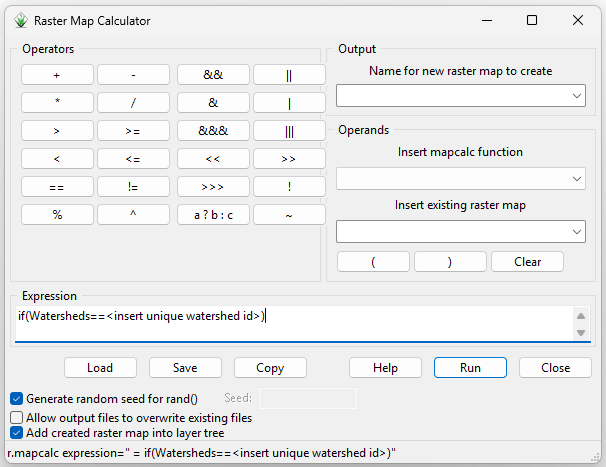
| 20:44, 1 October 2025 | Rmapcalc1.png (file) |  |
28 KB | 1 | |
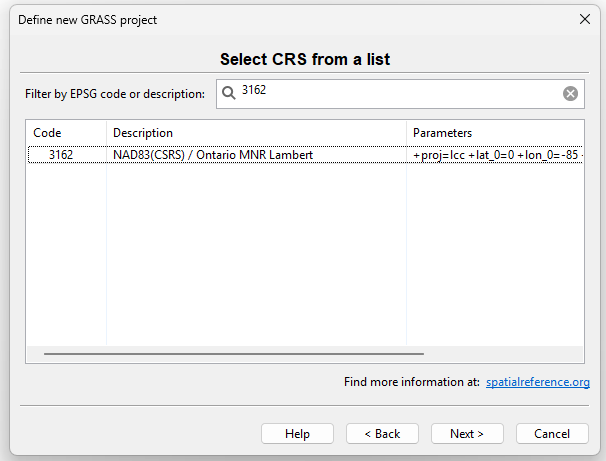
| 20:43, 1 October 2025 | GrassSetup3.png (file) |  |
18 KB | 1 | |
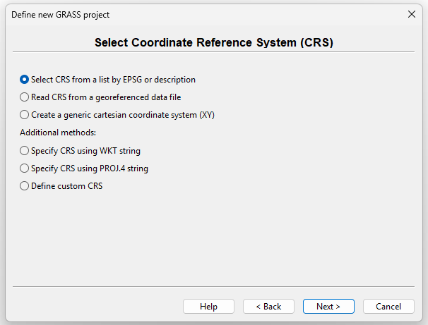
| 20:43, 1 October 2025 | GrassSetup2.png (file) |  |
21 KB | 1 | |
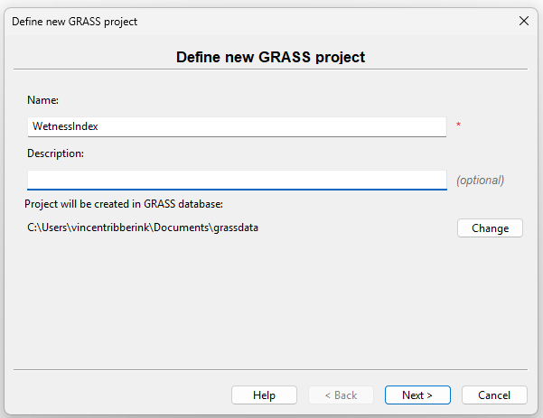
| 20:43, 1 October 2025 | GrassSetup1.png (file) |  |
17 KB | 1 | |
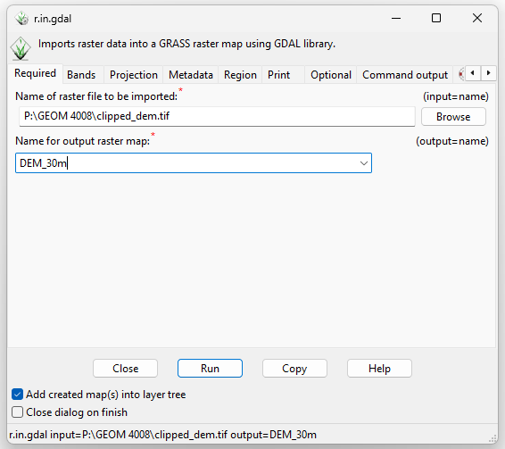
| 20:43, 1 October 2025 | GrassRasterImport.png (file) |  |
24 KB | 1 | |
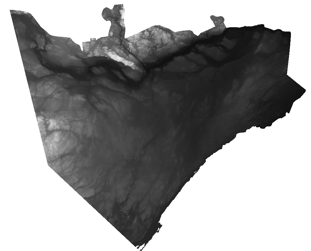
| 21:23, 30 September 2025 | DEM Ottawa 30m.png (file) |  |
351 KB | Screenshot of a 30 meter DEM of the Ottawa area sourced from the PDEM dataset, available on Ontario Geohub. | 1 |