Difference between revisions of "Comparative Analysis of Cost Path Analysis In Grass GIS and ArcMap"
m (→Cost Distance) |
m (→Cost Distance) |
||
| Line 89: | Line 89: | ||
| − | [[Image:12.jpg|300px]] [[Image:13.jpg|445px]] |
+ | [[Image:12.jpg|300px]] [[Image:13.jpg|445px]] |
Figure : Cost Distance and Backlink Raster of Slope Cost |
Figure : Cost Distance and Backlink Raster of Slope Cost |
||
Revision as of 17:38, 19 December 2013
Contents
Introduction
About The Tutorial
Intro to GRASS GIS
ArcMap
About ArcMap
Setup and Data
Open ArcMap and create a new map layout, making sure to set the workspace to known folders.
The following data files used are:
- 1. littlered.shp - The start location of little red.
- 2. gramma.shp - End location Gramma's cottage.
- 3. landcover.shp - The land cover types present.
- 4. elevation.shp - Elevation points for the area.
- 5. AOI.shp - Area of interest polygon that defines study area.
Add all of the above layers to the data frame.
Interpolation
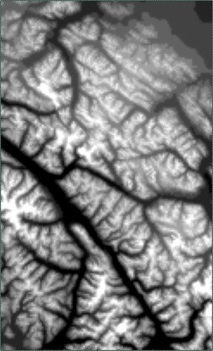
In order to obtain the slope factor we first need to create a Digital Elevation Model (DEM) from our elevation points.
The DEM will be interpolated using the Inverse Distance Weighting (IDW)method and will be created with 500 m resolution. This is obtained with ArcMap's IDW tool.
ArcToolBox/SpatialAnaylstTools/interpolation/IDW
The Z field is contained in the attribute elevation, the output cell size will be 500 m and variable search radius of 12 points (default value).
Figure :Screenshot of IDW Tool
Figure : Digital Elevation model of AOI from IDW Interpolation
Determining Slope
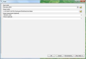
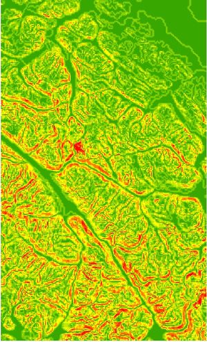
A Slope raster is created using the Slope tool of ArcToolbox, this will use the previously created DEM and give slope in percent rise with a z factor of 1. The result raster shows slope in percent from green to red where red is the maximum slope.
ArcToolBox/SpatialAnaylstTools/Surface/Slope
Figure : Slope Tool
Figure : Percent Slope of AOI
Polygon to Raster
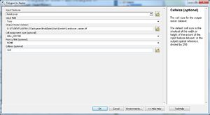
The land cover polygon must be converted to raster in order for it to be used for cost anaysis. The type conversion is done using the Polygon to Raster tool in ArcToolbox where the raster value assigned will be based on the "type" field such that polygon value that overlaps the middle of each 500 m cell defines the land cover assigned.
ArcToolBox/ConversionTools/ToRaster/PolygontoRaster
Figure : Polygon To Raster Tool
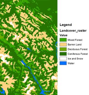
Figure : Raster of Landcover
Cost Reclassification
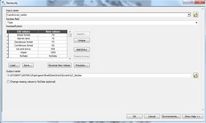
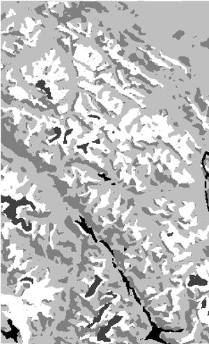
Both the Slope Raster and Land cover raster must be reclassified with cost values based on the percent slope and land cover types respectively. As per the originally specified difficulty and likelihood of wolf factor outlined in the introduction above each raster is re-classed with the Reclassify tool. The reclassification will be based on the SOMETHING and Type fields for slope and land cover respectively. Cost is shown in the results over white to black where black is the maximum cost.
ArcToolBox/SpatialAnaylstTools/Reclass/Reclassify
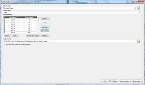
Figure : Reclassify Tool with: Slope parameters, Land cover parameters
Figure : Raster of slope cost, Raster of land cover cost
Cost Distance
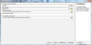
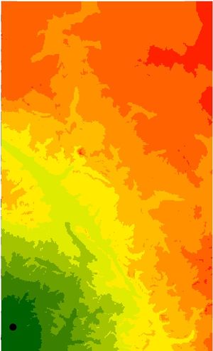
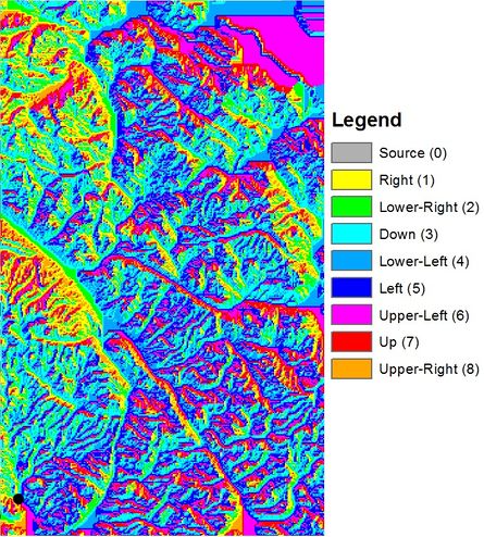
The Cost Distance raster tracks the cumulative cost of traveling from each cell to the source (destination). For this example the destination/source will be Gramma's cottage as denoted by a black point on each map below. We have the option of setting an output location for the backlink raster or this can also be created independently using the backlink tool as it will be required to calculate optimal cost path.
ArcToolBox/SpatialAnaylstTools/Distance/CostDistance
Figure : Cost Distance Tool
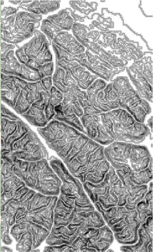
Figure : Cost Distance and Backlink Raster of Slope Cost
GRASS GIS
About GRASS
Geographic Resources Analysis Support System

