Demonstrating tools in SAGA GIS to analyze Burned areas from Forest Fires
Contents
Introduction
In recent years forest fires have increased globally at a rapid rate destroying many hectares of vegetation, ecosystems and landscapes (Parajuli, 2019). Being able to analyse forest fires in multiple open source applications like SAGA GIS will benefit anyone looking to study the results of forest fires.
Downloading Saga
This tutorial uses the newest version of SAGA GIS, Version 8.4.1 64bit which can be downloaded here: https://sourceforge.net/projects/saga-gis/files/latest/download
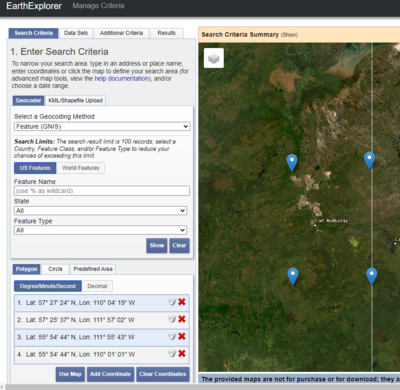
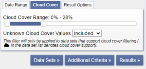
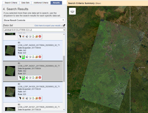
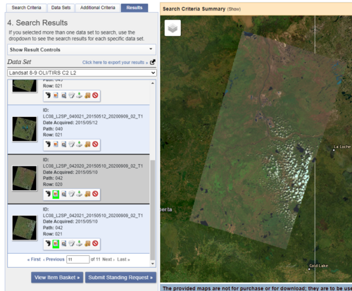
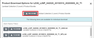
Downloading Imagery from USGS
Converting Files
Downloading the file you will have to also download winzip:
It is an extension because windows does not know how to open Tar files.
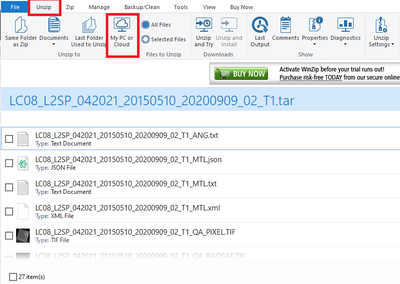
Once the application opens - find your tar files in your files and then drag them into the window pane. Once in WINZIP select the unzip tab shown below and then click My PC or Cloud to unzip the files to a specified location on your PC.
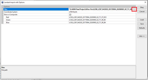
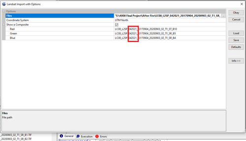
Downloading Files into SAGA
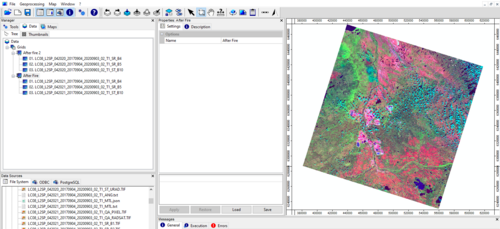
Geoprocessing > Imagery > Landsat > Landsat Import with Options
Mosaicking Two Rasters Together
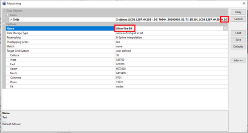
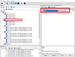
Mosaic two rasters together for both before and after fire.
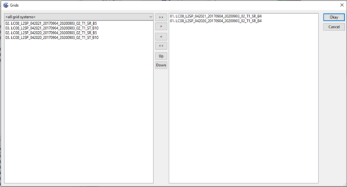
Geoprocessing > Grid > Grid Systems > Mosaicking
