Land Use Land Cover Change Detection with Supervised classification in QGIS
Introduction
Land Use Land Cover Change Detection reveals trends, patterns, changes in land use and land cover pattern in an area. Observing changes in land cover using remotely sensed data such as satellite images provide information for decision-makers. Open source software such as QGIS offers enhanced capabilities to effectively classify satellite images and monitor changes with temporal data. Additional plugins such as the Semi-Automatic Classification Plugin (SCAP) help in working with freely available images such as the Landsat, Sentinel etc. In this tutorial, I will be walking you through performing supervised classification on two different images and observing changes that have occurred using the SCAP plugin in QGIS.
Required Materials Data: Landsat 8 Software: QGIS 3.28.0 Plugin : Semi-Automatic Classification Plugin Area of interest: Attica, Indiana, United States Period of study for change detection: Jan 1, 2015 and Jan 1, 2021
Installing QGIS
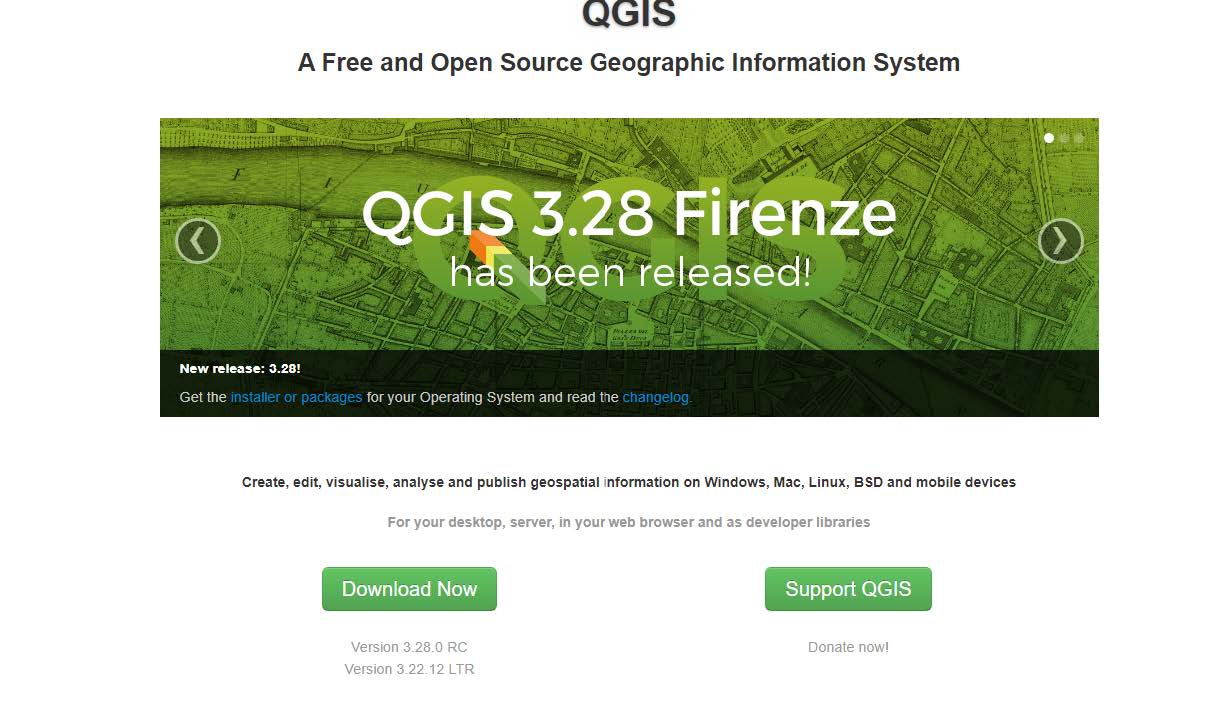
QGIS is an open-source GIS software whose acronym stands for Quantum Geographic Information System, QGIS is equipped with capabilities that allows for all sorts of GIS analyses. QGIS has different versions, it is advised to install the current version which is QGIS 3.28 Firenze. To install, Visit the QGIS here website.
