User:KennethBatagon
Contents
Cycling in Carleton University: Calculating Fastest & Shortest Route and Determining Cycling Accidents
Purpose
The purpose of this tutorial is to present the user with open-source data available using QGIS. Introduction. An open-source approach is a way of software product development and distribution in which the public is given free access to the source code. This enables users to access, change, and redistribute the programme in accordance with their requirements and preferences.
Introduction
The purpose of finding the shortest and fastest route between two points is to save time and reduce the cost of travel. This can be useful for individuals planning a trip and businesses or organizations that need to transport goods or people efficiently. For example, this tutorial calculates the shortest and fastest routes from an origin point, Carleton University, to the destination point, Walmart. For this tutorial, determining cycling collisions in the Carleton University and Walmart area helps to identify safe and efficient routes for cycling. This tutorial will use QGIS as it is a powerful and versatile GIS software that is widely used for mapping, spatial analysis, and data visualization.
Data Collection and Organization
QGIS
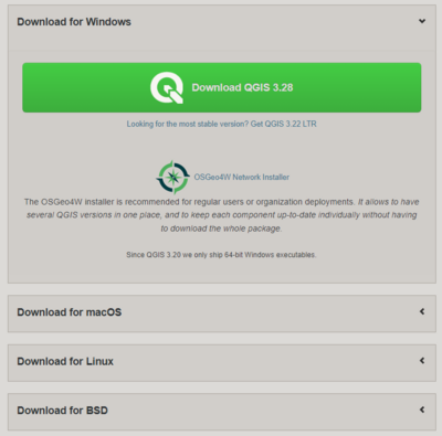
The first step for this tutorial is to get QGIS access. If you are using the school’s computer, you can skip this part.
QGIS Plugins
In order to calculate the fastest and shortest route, you will need to download a plugin within QGIS called ORS Tools (Open Route Service). To do this, click Plugins -> Manage and Install Plugins and search for ORS Tools and install it. Once installed, proceed toward Provider Settings to request an API key. This is a crucial step as any parameters or actions you want to do will not work without the key. You will need to signup by searching open route service sign up or by clicking this link. Follow the instructions given in the email.
